Day 2: Sossusvlei and Deadvlei
There are two gates at Sesriem. The outer gate opens at sunrise (around 6 am September to April, 6:45 am June to August). Guests staying inside the park fence, at Sossusvlei Desert Lodge or Little Kulala, get access one hour before sunrise through the inner gate; this is a meaningful advantage for photographers. Buy your permit the evening before at the gate office if possible: park entry as of 2025 is approximately N$150 per person plus N$50 per vehicle per day. The morning queue at the gate can cost 20 to 30 minutes if you arrive at opening; buy the day before and go straight through.
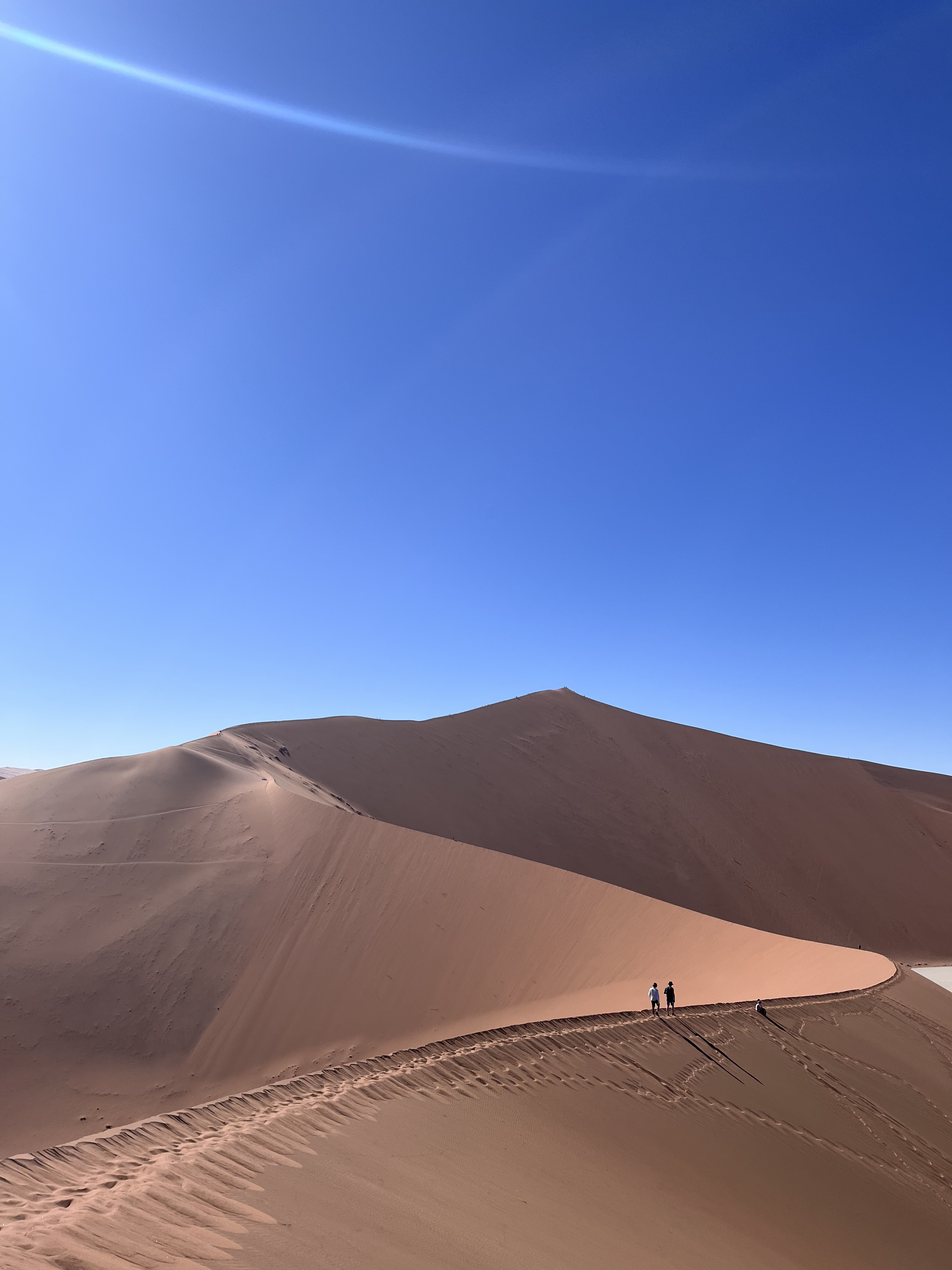
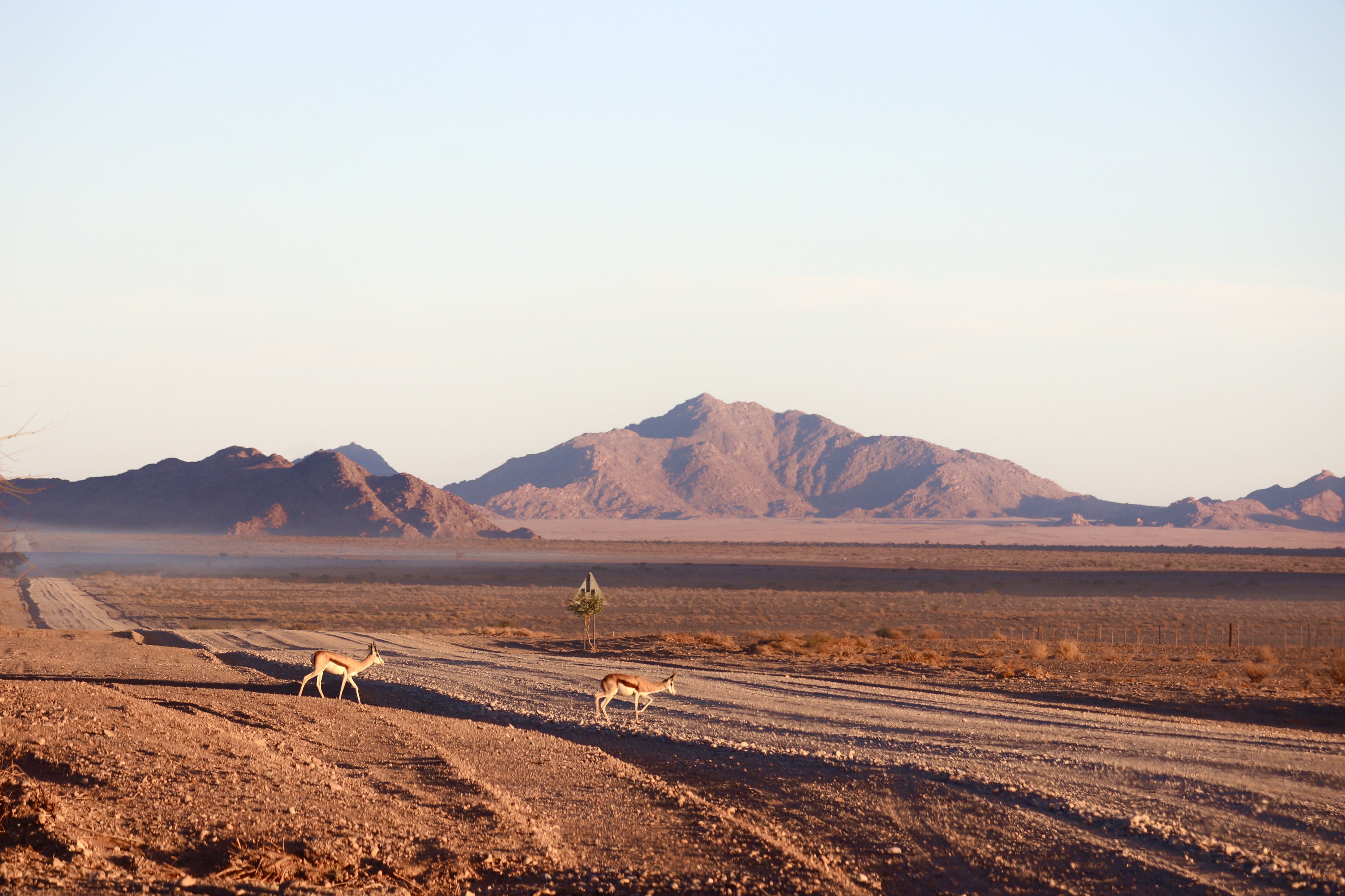
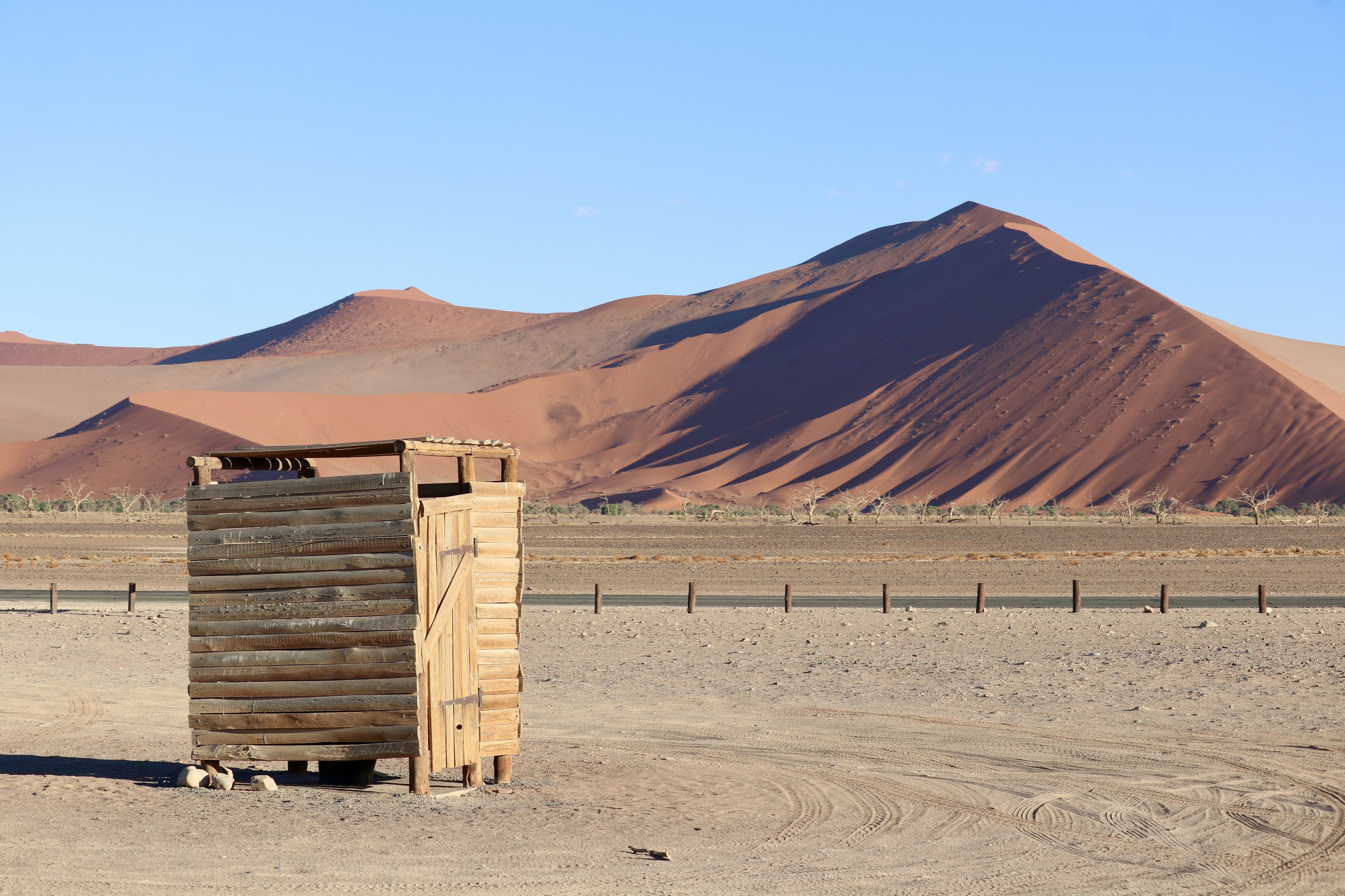
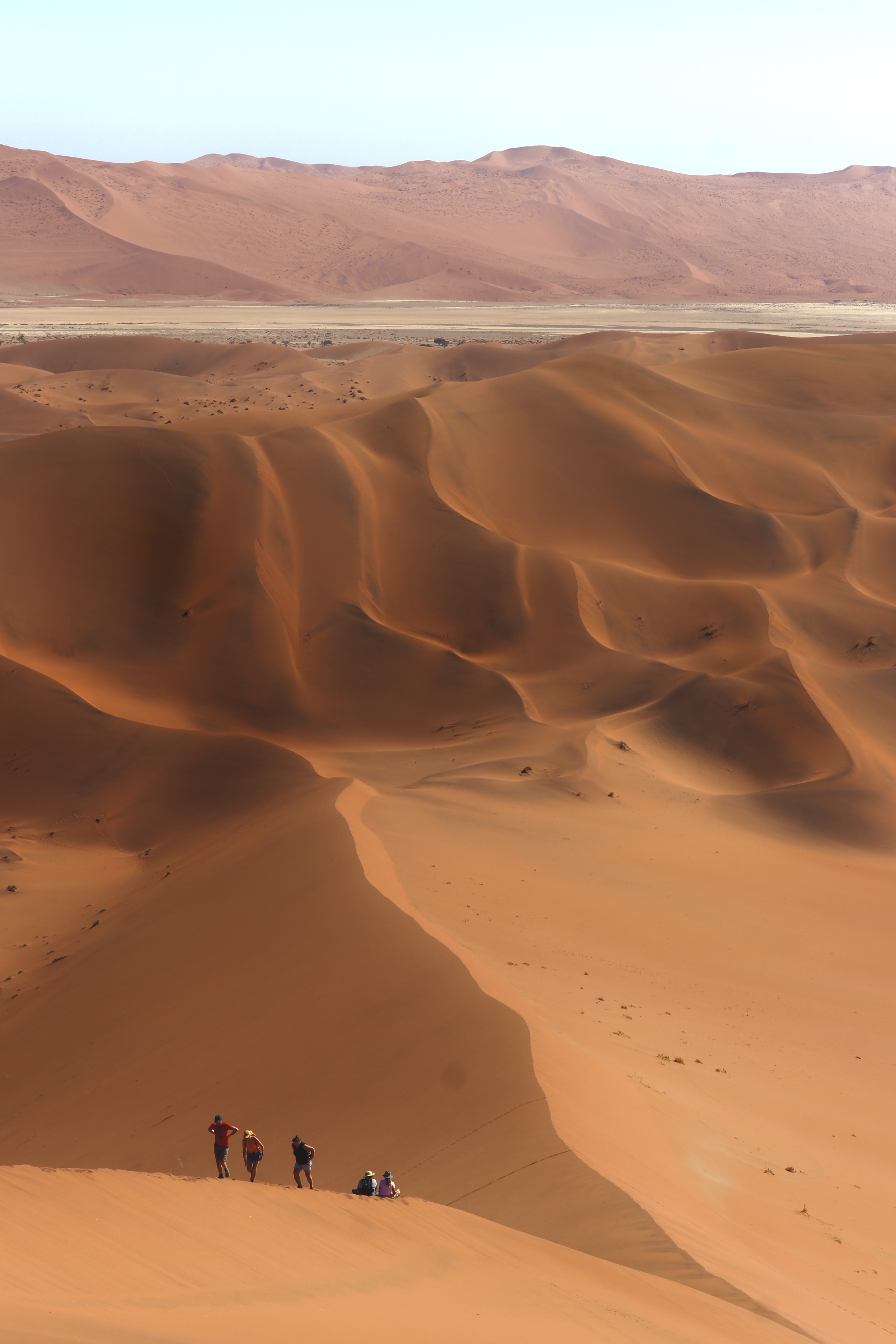
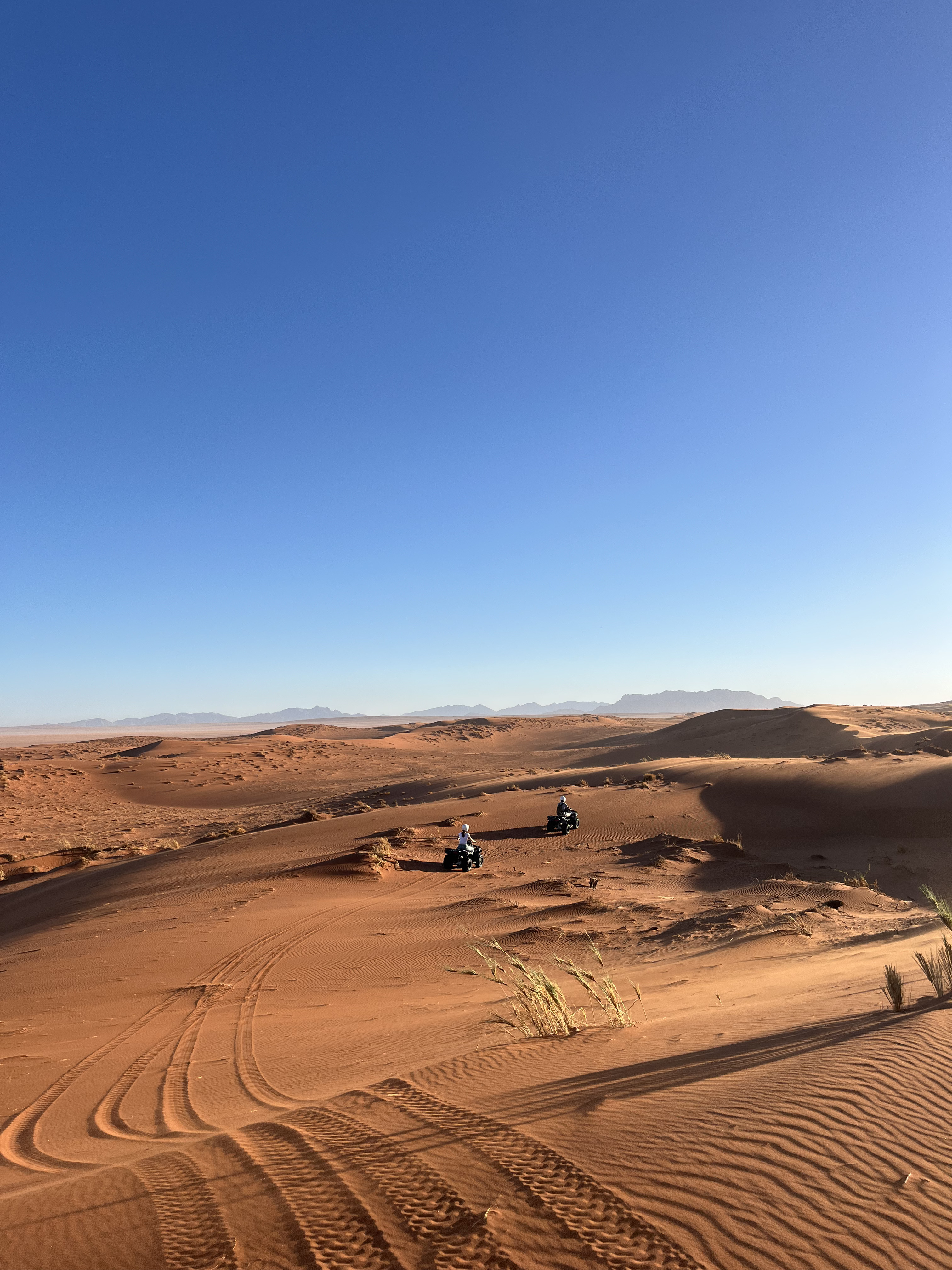
From the outer gate, drive the 60 km tarred road south through the dune corridor. The road is paved and easy; you do not need 4x4 for any of it until the very end. At approximately 45 km you pass Dune 45, named simply for its distance from the gate, a classic star dune with a sharp crest that makes for a beautiful and moderately demanding sunrise climb. The going is soft and steep; allow 30 to 45 minutes up. The view from the crest is the dune sea in full morning colour, but do not linger too long: Deadvlei is the morning's priority and heat builds fast after 8 am.
Continue to the 2WD parking area at the end of the tarred road. Here the paving stops and the final five to six kilometres to Deadvlei parking is deep sand. As of 2025, private 4x4 vehicles are permitted on this section, but the shuttle operated by About Africa (approximately N$200 to N$260 per person return) is genuinely worth taking even if you have a capable 4x4: the sand is unpredictable and deep, conditions change daily, and getting stuck at 9 am in rising heat is a full-day problem. Deflate your tyres to approximately 1.5 bar before attempting the sand if you do drive yourself, and reinflate immediately at the 4x4 parking using your compressor.
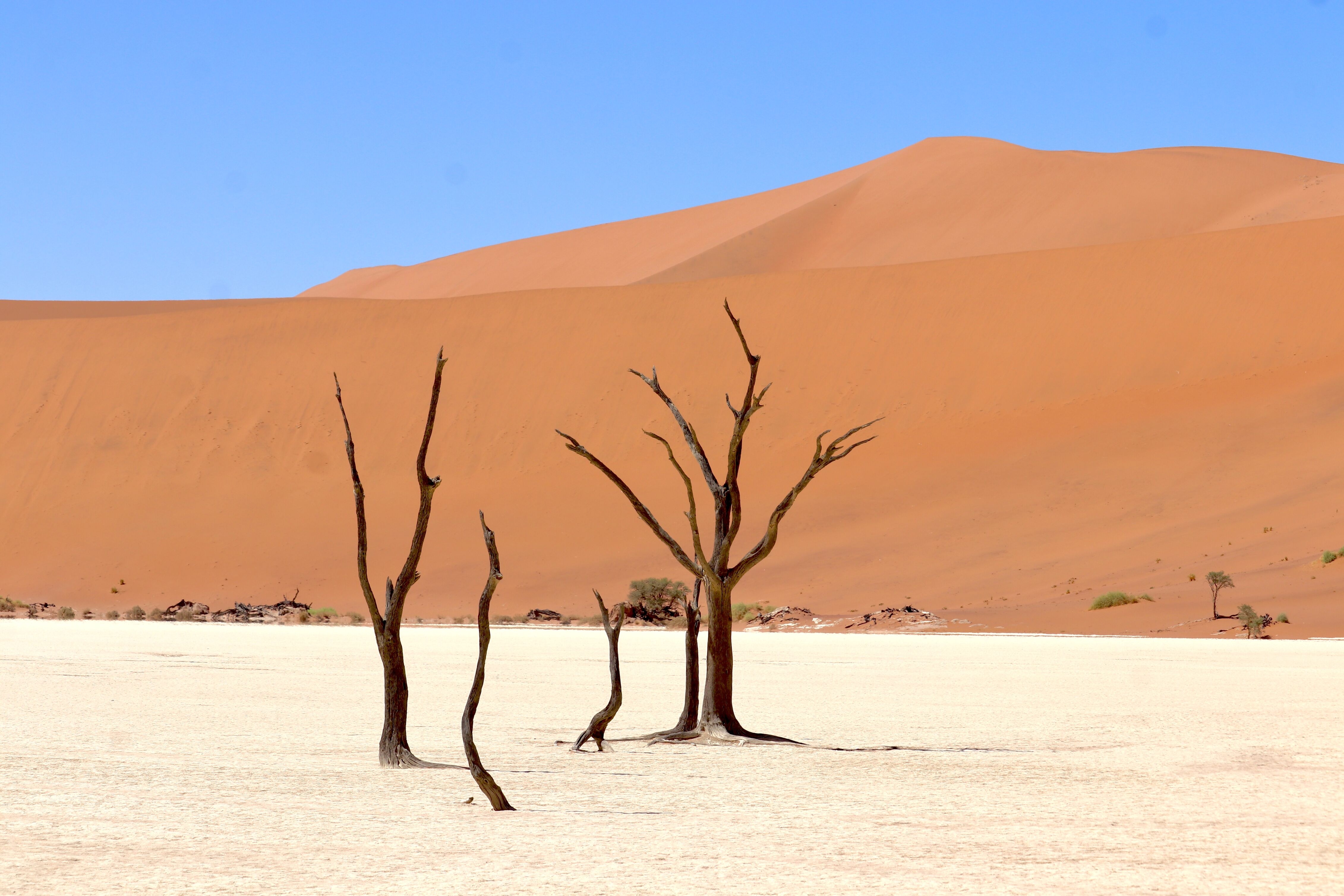
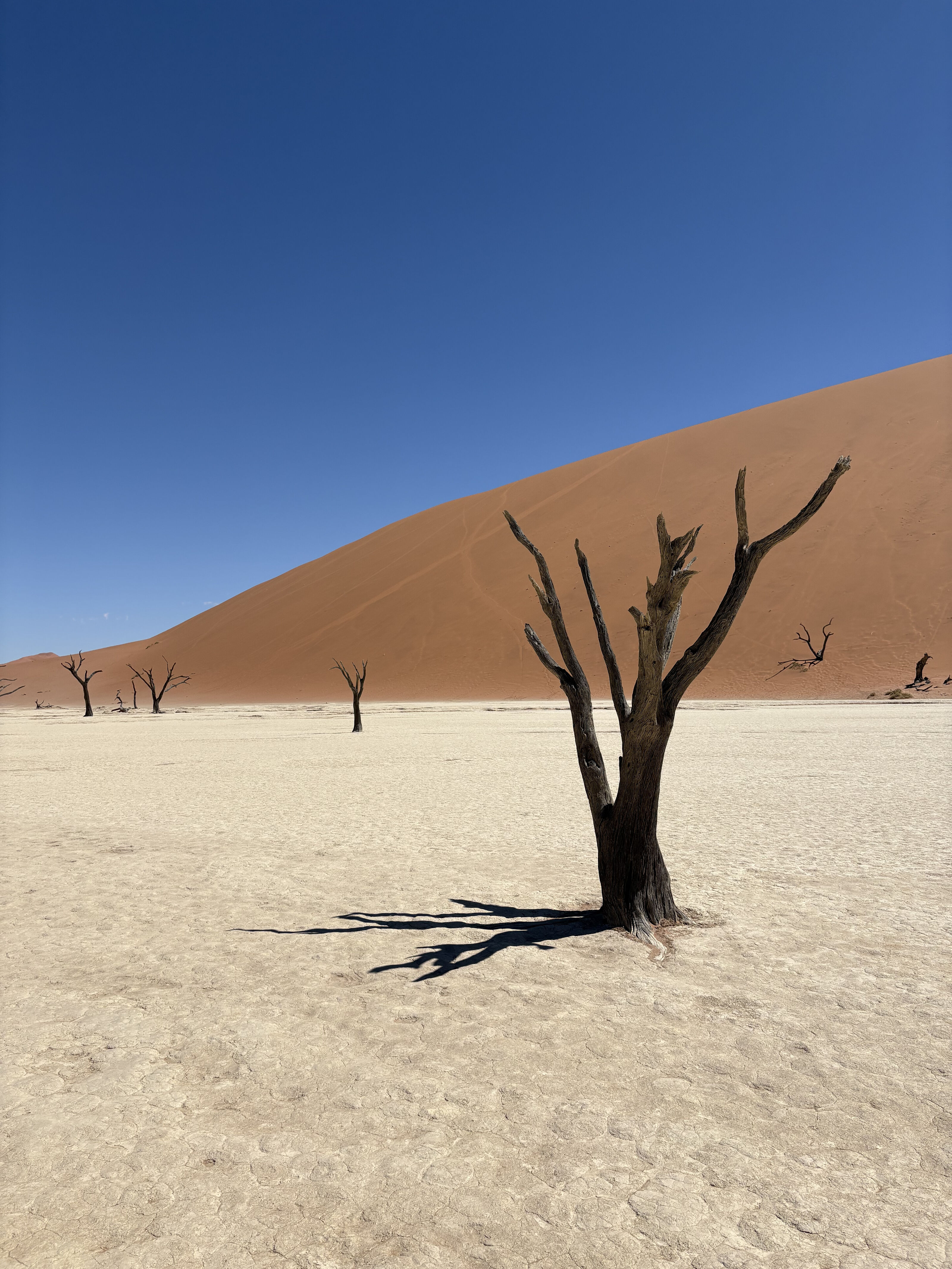
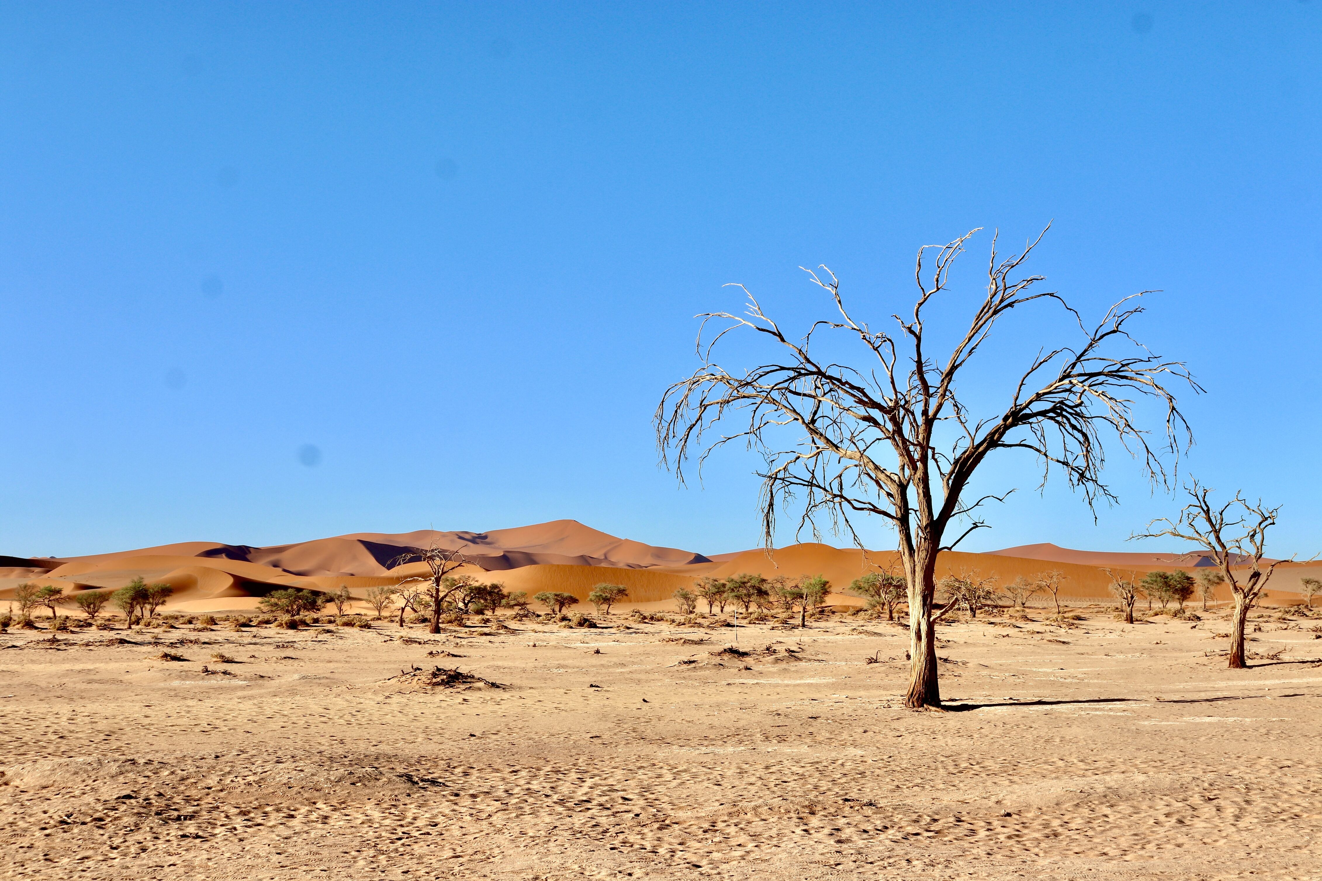
From the 4x4 parking, Deadvlei is a 10-minute walk over a low dune. What you walk into is immediately disorienting: a flat white clay pan roughly 500 metres across, bone dry, floored with cracked salt and clay, ringed by orange-red dunes that rise 150 to 200 metres on three sides. Inside the pan, 500 to 900-year-old camelthorn trees, blackened by sun, stand where a river once flooded seasonally. The river changed course centuries ago, the dunes sealed the pan, and the trees died without decomposing because the desert is too dry for rot. They are still standing exactly where they fell silent. The visual contrast, black trees, white floor, red dunes, blue sky, is not exaggerated by photographs; if anything, photographs flatten it. Spend as much time here as you have before the heat becomes serious.
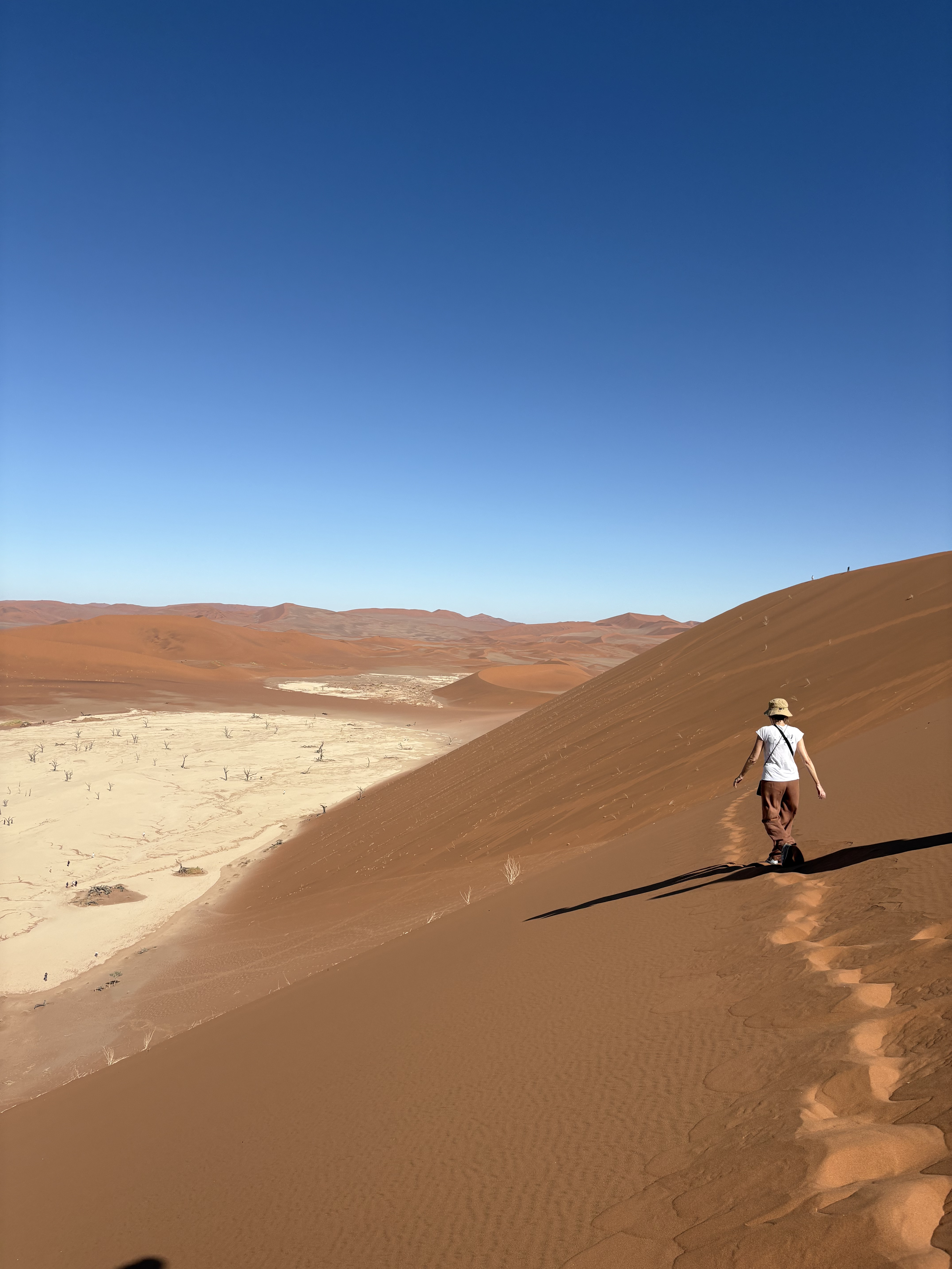
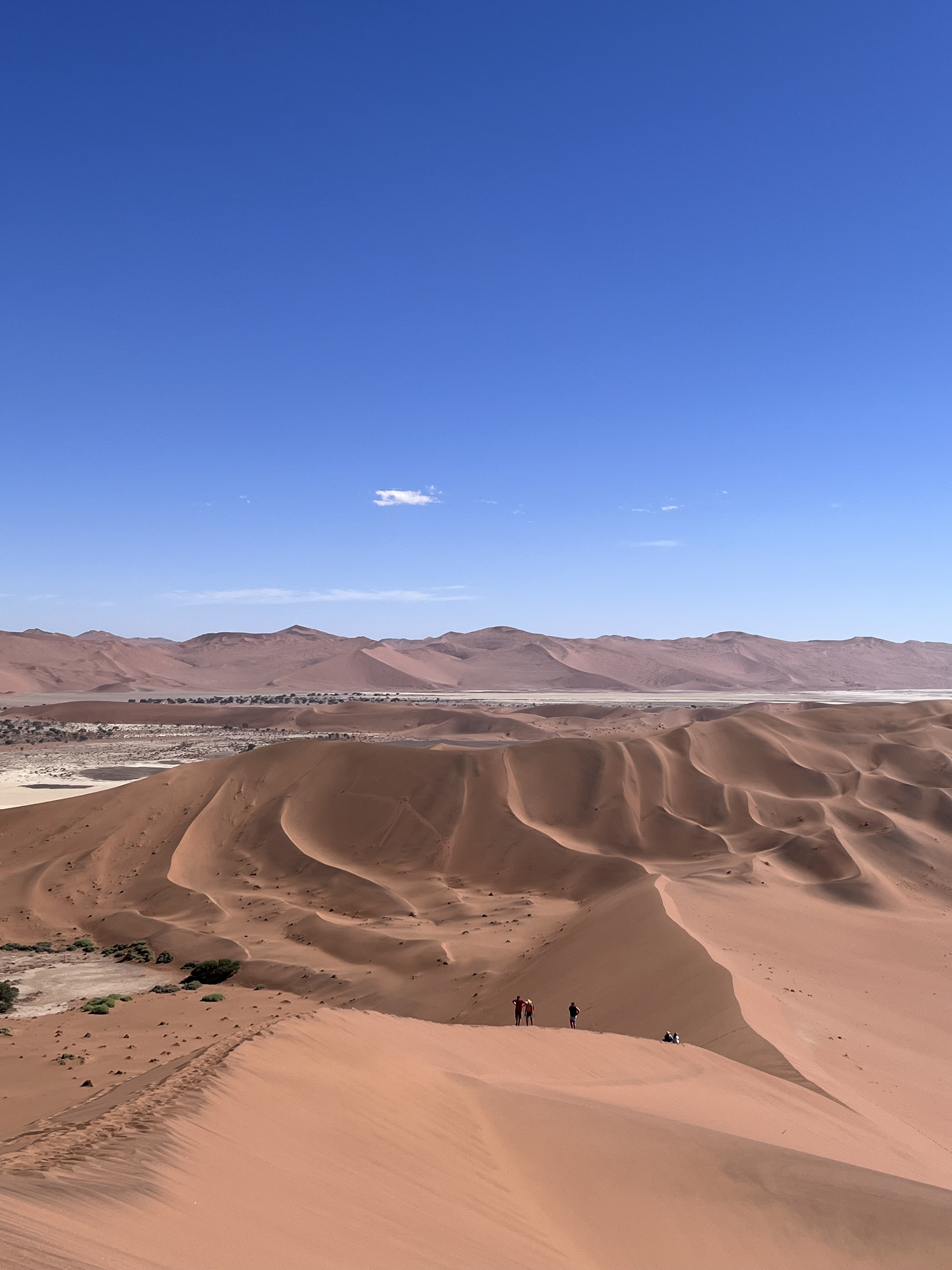
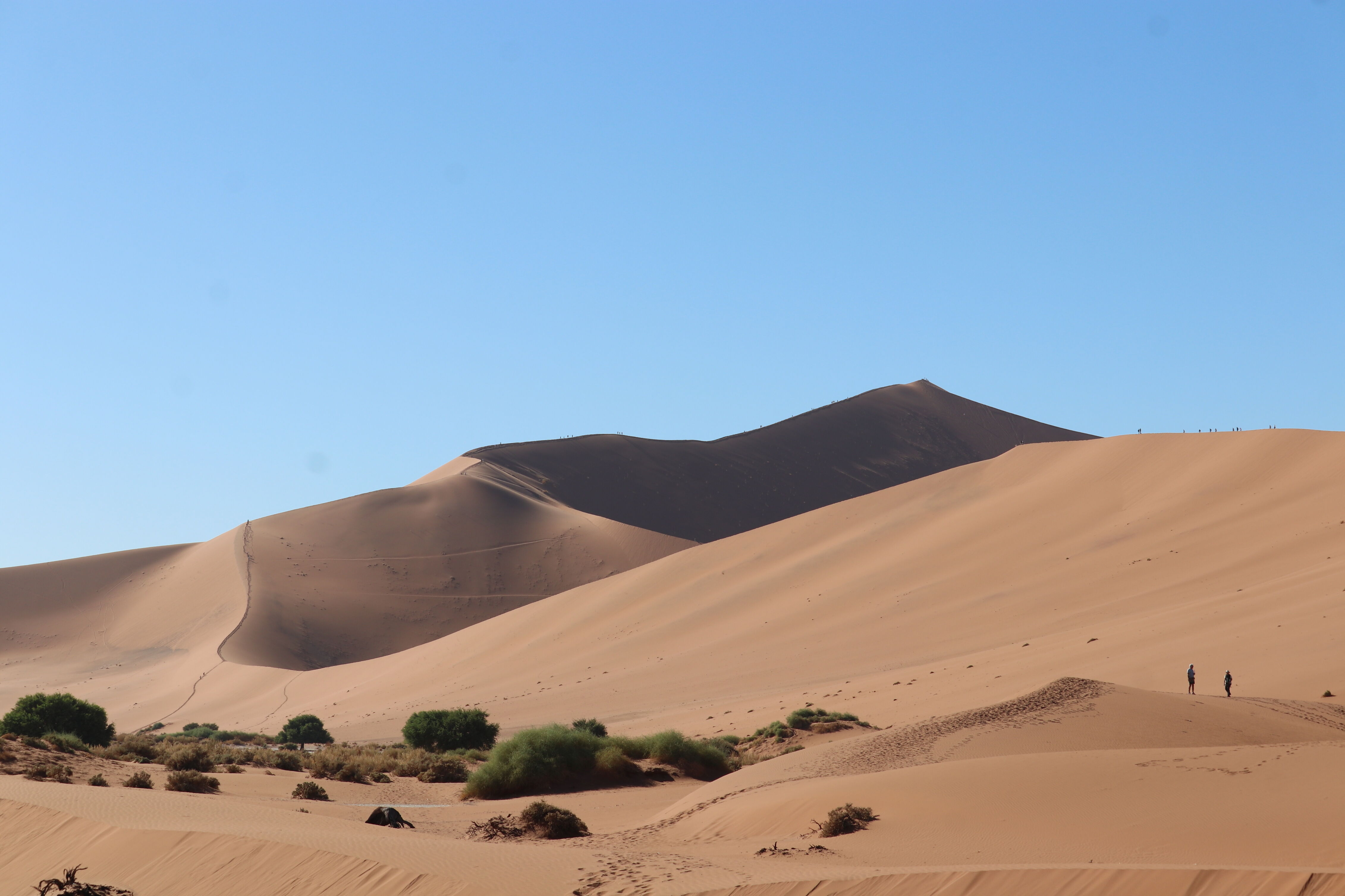
Big Daddy dune rises directly behind Deadvlei at approximately 325 metres, one of the tallest dunes in the world. The ascent from the pan takes 45 minutes to two hours depending on pace; the sand is steep and soft throughout. From the summit you look directly down into Deadvlei below and out across the full dune sea in every direction. Climb Big Daddy before going into Deadvlei, not after; the light is better and the heat is lower.
Return to Sesriem by midday, take shade through the hottest hours, and use the late afternoon for Sesriem Canyon, four kilometres from the gate. The Tsauchab River carved this 30-metre-deep gorge through red conglomerate over two million years. The canyon is shaded, cool relative to the open desert, and takes about 45 minutes to walk. It has flood season pools in the deeper sections. The late afternoon light in the canyon is exceptional.
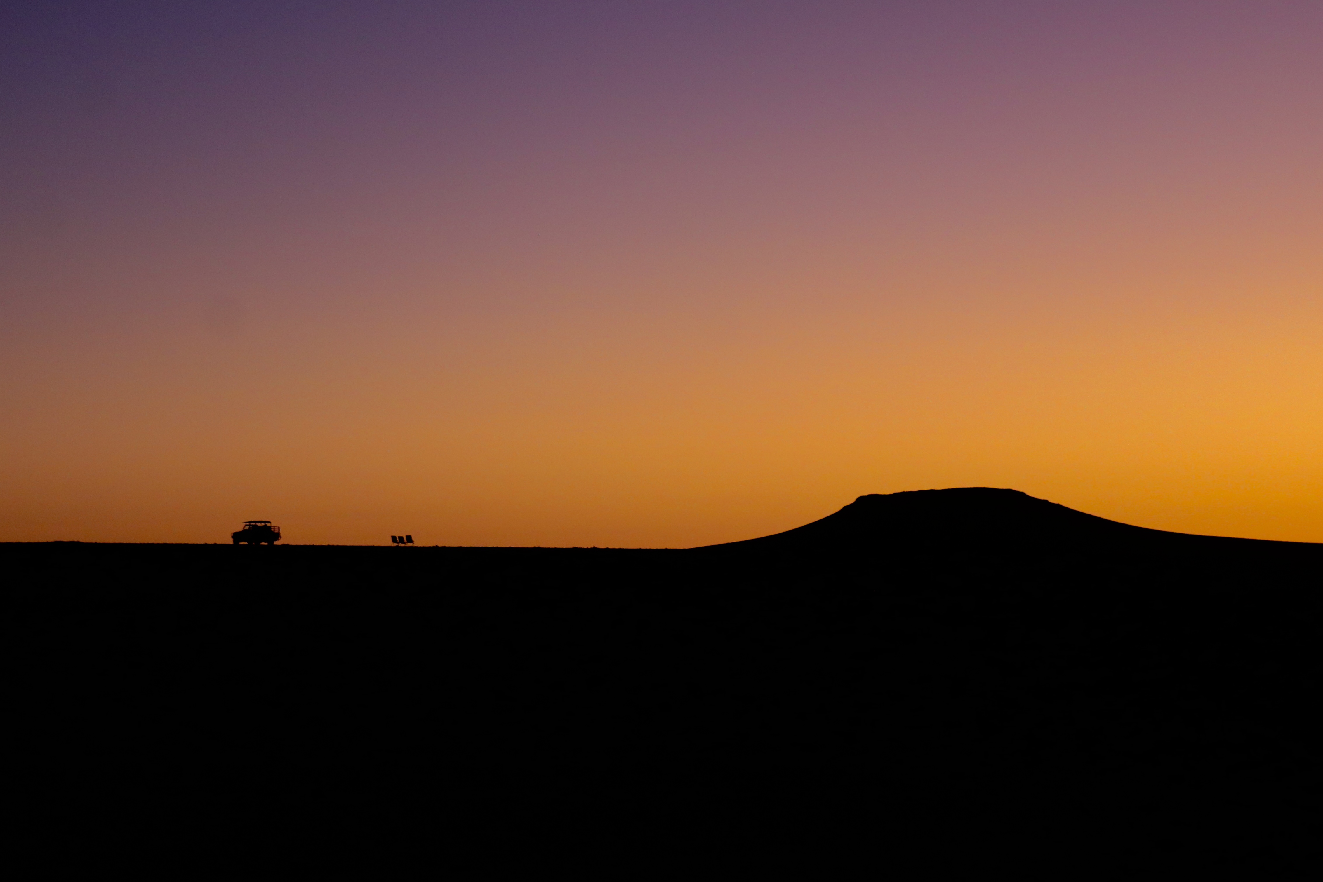
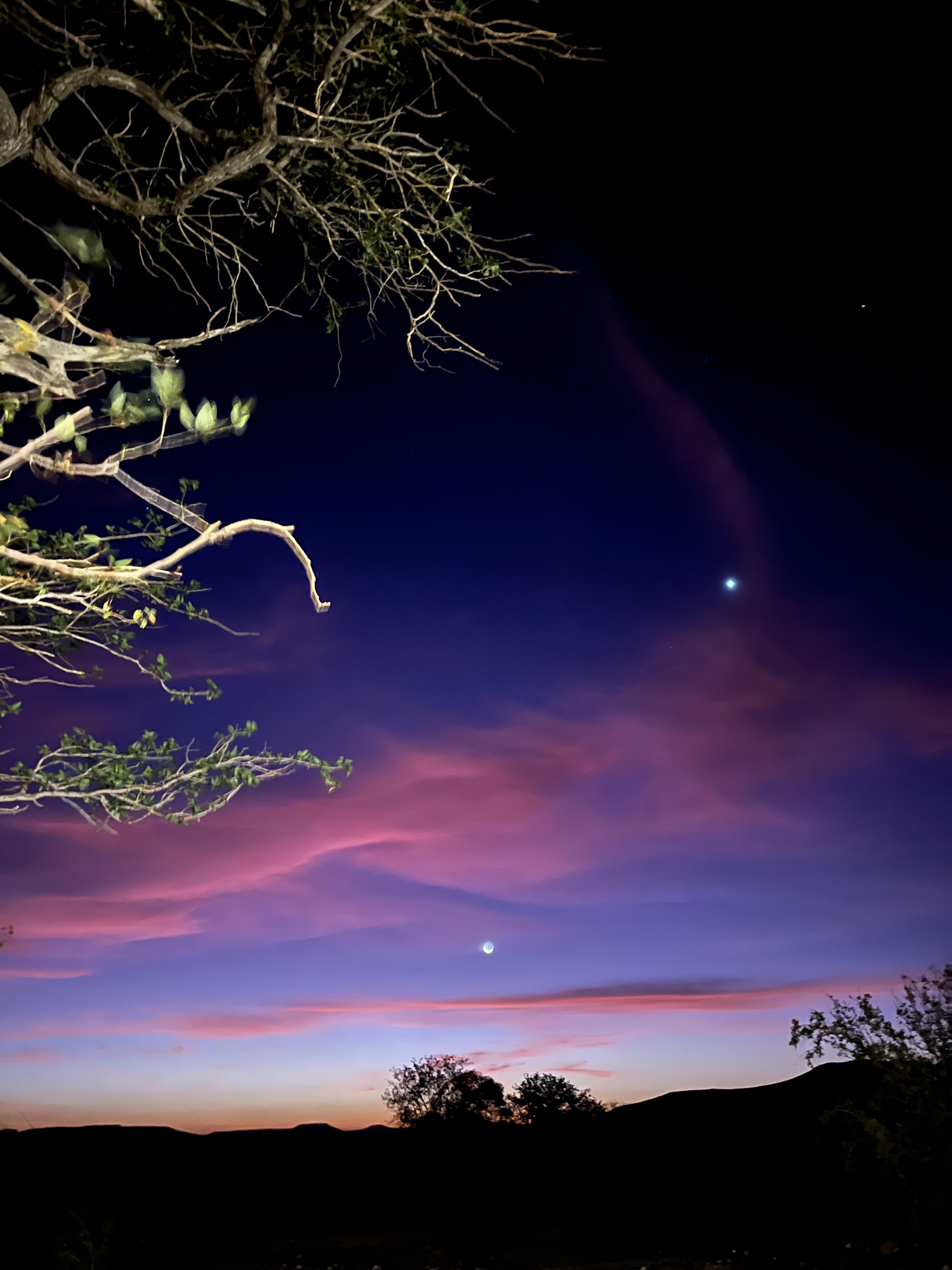
After dark: return to Dune 45 or a dune near your camp for the first proper night sky of the trip. No light pollution within 50 kilometres in any direction.
Day 3: Namib to Swakopmund via Solitaire
A driving day, roughly six to seven hours of total road time including stops. The route north from Sesriem crosses the Tsauchab plain, climbs through the Gaub and Kuiseb Passes in the Namib-Naukluft, and eventually descends toward the Namib gravel plains that run to the coast. Most of this road is unsealed but well maintained and manageable at 80 km/h.
Solitaire is a compulsory stop. It is a single-building settlement on the C14 with a bakery, a fuel pump, a campsite and a scatter of rusting old cars left where they broke down in the desert and never moved. The apple pie is legitimately good and has been for decades. Fill fuel here; the next reliable fuel heading toward Swakopmund is Walvis Bay or Swakopmund itself.
As you descend toward the coast the temperature drops and a wall of coastal fog appears on the horizon. This is the Benguela Current effect: cold Antarctic water wells up along the Namibian coast, chilling the air above it, which the warmer desert air rides over, creating a persistent temperature inversion. The fog rolls in from the sea each evening and burns off by mid-morning, and it gives the Skeleton Coast its particular quality of light, muted, soft, colourless, like the world has been toned down. Swakopmund appears out of this fog as a strange apparition: German church spires, cream-coloured colonial facades, palm trees in a circle of sand.
Swakopmund was founded in 1892 as the main harbour of German South West Africa and retains its colonial layout almost intact: the Woermannhaus (1905), the Hohenzollern Building with its atlas figure, the old railway station (now a hotel), and the Altes Gefängnis (the old prison) are all within a short walk of the central Kaiserstrasse. None of this requires formal visiting; it reads as you walk. The Mole, the 1905 iron jetty extending 300 metres into the Atlantic, is the best viewpoint over the foggy coastline at dusk.
Dinner: The Tug (converted tugboat on the beach, excellent seafood, the most atmospheric restaurant in town), Kücki's Pub (generous local portions at honest prices, the local standby), Jetty 1905 (seafood on the waterfront, popular and reliable). Book ahead for The Tug at peak times.
Day 4: Skeleton Coast and Swakopmund activities
The itinerary as written combines the Skeleton Coast drive north to Cape Cross with activities around Swakopmund; in practice, these are best split since Cape Cross is 120 km north (about 1.5 hours each way) and the dune activities around Swakopmund are half-day commitments. A realistic Day 4 structure:
Morning: Cape Cross. Leave Swakopmund by 7 am on the C34 north. The road follows the coast closely, tar for the first section and then hardened gravel; it is doable in a standard vehicle. The sea is immediately to your left, the gravel Namib desert immediately to your right, and almost nothing in between for 120 kilometres. The landscape is post-apocalyptic in the most literal sense: no vegetation, no buildings, no traffic, ship wrecks rusting on the beach, salt crystals on the road surface, the cold Atlantic churning brown and grey under the fog. The Skeleton Coast is named partly for whale bones (Namibia had major whaling stations through the 19th century), partly for the bleached bones of shipwrecked sailors who made it to shore only to find themselves in waterless desert, and partly for the general character of the place.
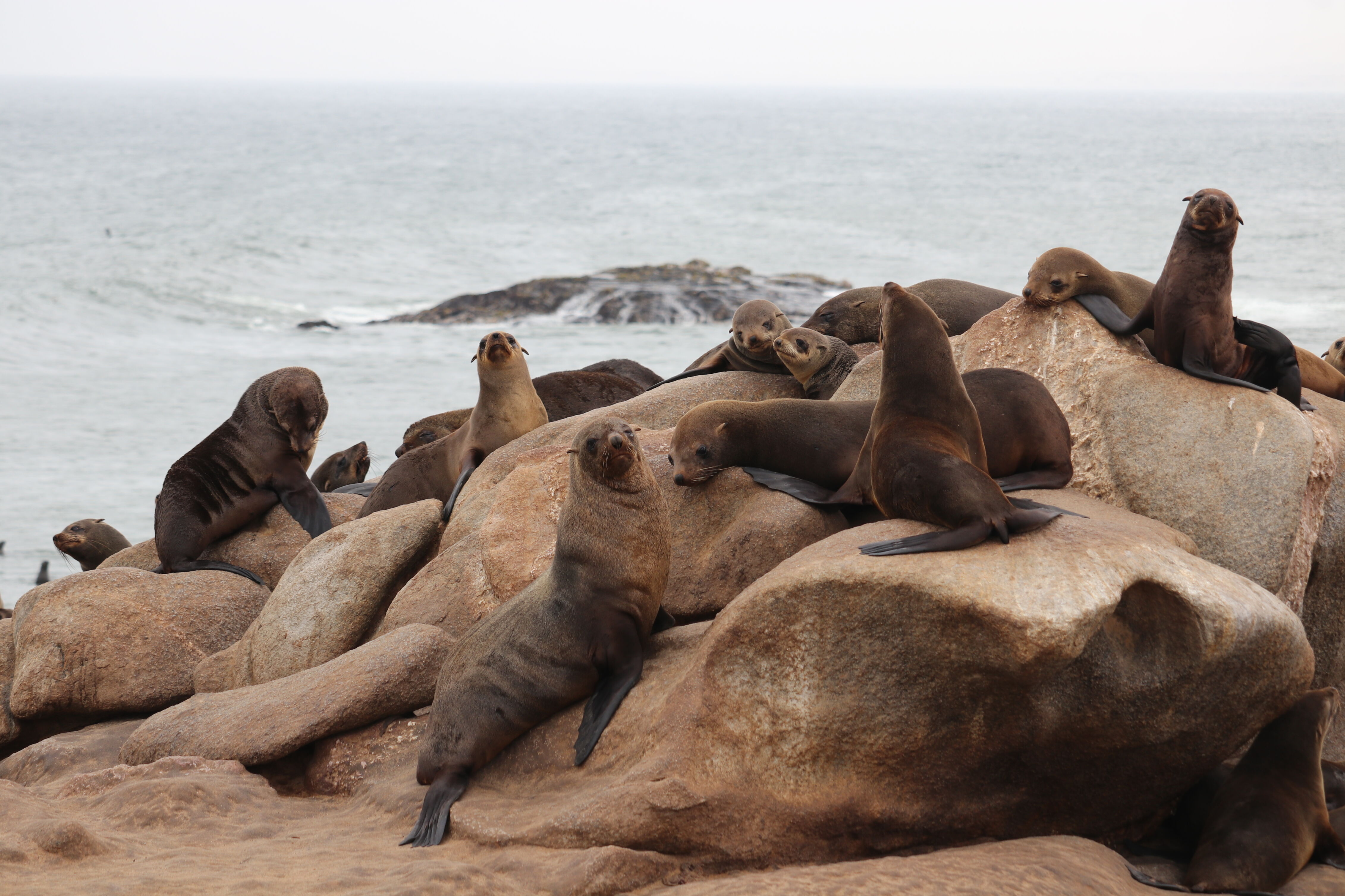
Cape Cross itself is a fenced reserve around one of the largest Cape fur seal colonies in the world, fluctuating between 80,000 and 300,000 animals depending on season. Entry is N$80 per person plus N$10 per vehicle. The boardwalk runs along the edge of the colony at close range. The bulls weigh up to 360 kg and are territorial; the pups tumble and bark in the surf. The smell is pure ammonia and guano carried on the sea wind. It is overwhelming and extraordinary. November to December is breeding season and the colony is at maximum density; June to July is quieter but still impressive. A stone cross marks the spot where Portuguese navigator Diogo Cão erected a padrão in 1486, one of the earliest European presence markers on the sub-Saharan African coast.
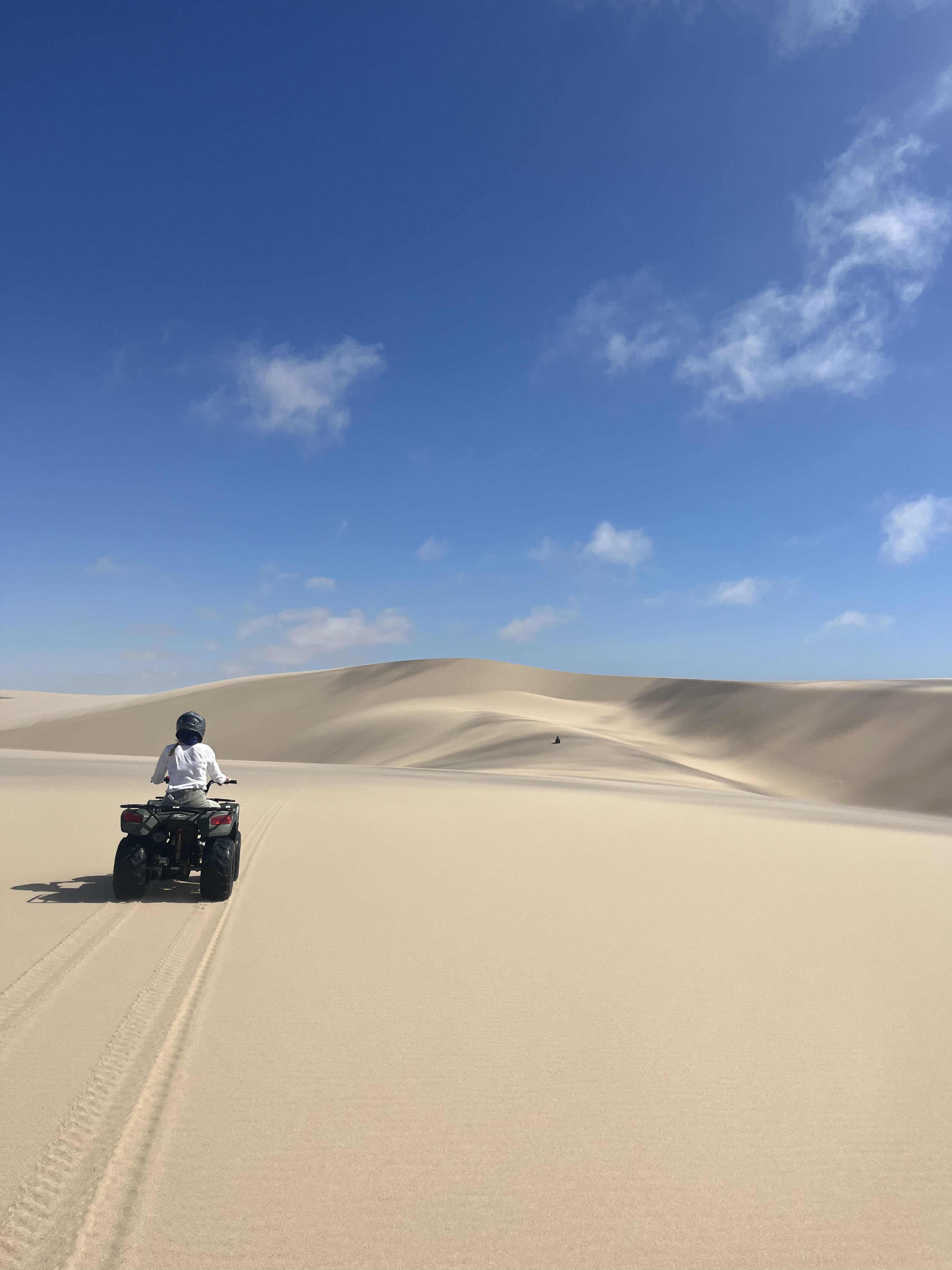
Afternoon: Swakopmund activities. The dune belt behind Swakopmund sits immediately east of the town and is where the activities happen. Sandboarding runs in two forms: lie-down (on a board, face first, reaching speeds up to 80 km/h on the steepest faces) and stand-up (like snowboarding, requires some balance). Both are offered in combination with quad biking. The main operators are Alter Action and Namibia Desert Explorers (also called Desert Explorers Adventure Centre on Sam Nujoma Avenue). Book directly in person rather than through third-party sites to avoid a 20 to 40% markup. A two to three-hour combo session including lie-down sandboarding and quad biking costs approximately 500 to 700 NAD per person. Morning sessions have cooler temperatures and firmer sand; afternoon sessions catch the golden light. Bring a bandana for sand in the face and closed shoes rather than sandals.
Sandwich Harbour, where sand dunes fall directly into the Atlantic lagoon 45 km south of Swakopmund, is a different order of experience from the activity dunes. It requires a guide and a permit (the lagoon is a protected Ramsar wetland site), and the tour involves driving through deep tidal sand at the waterline. Pelican, flamingo and cormorant feeding happens at the lagoon edge and the visual drama of 100-metre dunes dropping directly into the ocean is remarkable. Full-day and half-day tours run from most Swakopmund operators at approximately N$1,400 to N$2,000 per person; book at least the day before.
Day 5: Skeleton Coast to Damaraland and Twyfelfontein
Drive east and inland on the C35 and then north, roughly four hours on mixed gravel roads. Damaraland is not a single place but an unofficial region name covering the arid northwest of Namibia between the Skeleton Coast and the Kunene River: rocky hills, mopane woodland, dry riverbeds and a big, flat silence. The rocks change colour as you drive, rust red to grey basalt to pale quartzite.
Twyfelfontein (the name means "doubtful spring" in Afrikaans) was inscribed as Namibia's first UNESCO World Heritage Site in 2007. It contains one of the largest concentrations of rock engravings in Africa: approximately 2,500 carvings on sandstone slabs and boulders across a hillside above a seasonal water source. The images are mainly animals, lion, giraffe, rhino, ostrich, elephant and oryx, created by San hunter-gatherers over a period from roughly 6,000 years ago to as recently as 2,000 years ago. The interpretations are debated, but one reading is that the site functioned as a map of water and game for travelling hunters; engravings of tracks lead between animal images in patterns that reflect actual game movement across the landscape.
Access is through the visitor centre at the base of the site. A local guide is mandatory and is organised here; the cost is included in the entry fee. The guides are often descendants of the San communities who created the carvings and the context they provide is not available in any guidebook. The walk covers rough terrain and takes approximately one to one and a half hours. Go in the morning or late afternoon; the flat midday light washes out the engravings.
Immediately nearby: the Organ Pipes, a formation of parallel dolerite columns roughly 60 metres long and up to five metres high, created when a dolerite intrusion cooled and contracted into geometric columns. A 10-minute walk from the car park. The Burnt Mountain, a low hill of shale and dolerite that changes colour dramatically in the evening light, from purple to dark red to near-black, is another five minutes' drive and worth a quick stop.
Sleep at a lodge in the Palmwag area for the following morning's wildlife tracking.
Day 6: Desert-adapted wildlife in Palmwag
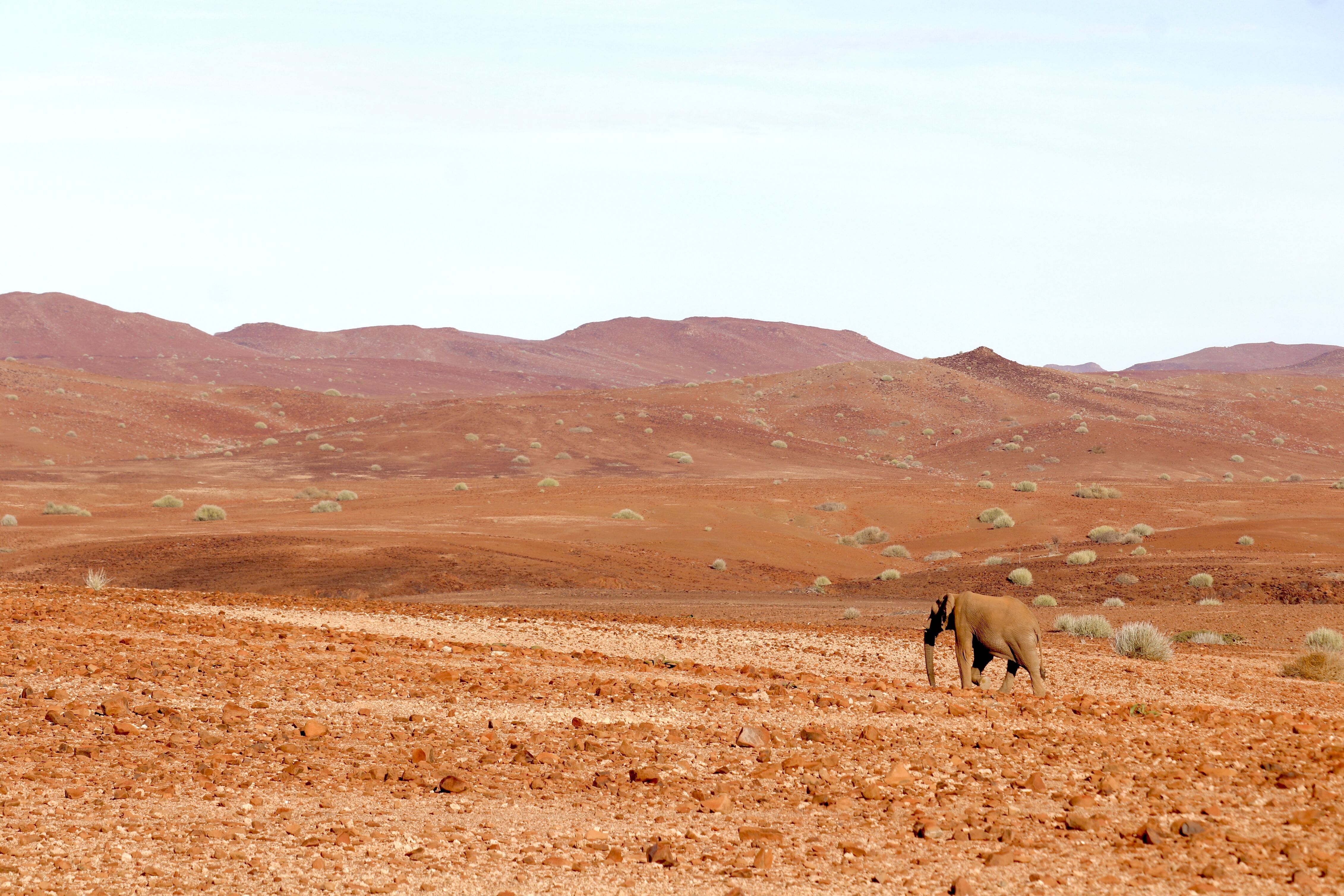
Join trackers at first light, ideally 5:30 to 6 am. The Huab and Palmwag river systems hold populations of desert-adapted African elephants, a genetically distinct subpopulation that has adapted to the hyper-arid environment over several generations. They are physically different from savannah elephants: leaner, with larger feet relative to body size, and capable of going up to four days without water by covering extraordinary distances between sources. Finding them requires reading dry riverbeds for tracks, pad impressions and spoor the way others read maps. A good tracker covers the same terrain you drove through the previous day but sees it as a library of recent movement.
Desert-adapted black rhino are also present in the Palmwag Concession and the Kunene Region more broadly; as of 2025 Namibia holds approximately 80% of the world's remaining black rhino population. Rhino tracking with a permit holder and a professional guide from Save the Rhino Trust is available from certain lodges and concession operators; enquire at the time of booking. This is a strict permit process, not a guaranteed sighting, and the organisation's focus is conservation rather than tourism. The experience of following a tracker through basalt kopjes reading rhino spoor is genuinely different from a waterhole sighting and is one of the most unusual wildlife activities available in Africa.
Midday is for complete rest; the heat between 11 am and 3 pm in Damaraland in summer renders any outdoor activity inefficient and uncomfortable. Late afternoon walk on the koppies near your lodge for hornbills, Monteiro's hornbills and Ruppell's korhaans calling in the cooling air. After dark, bring a head torch and walk slowly near the riverbed: barking geckos, tok-tok beetles, sidewinder vipers and Namaqua chameleons are all active and visible to a patient observer with a red-light torch. Namaqua chameleons in the headlamp beam turn to face you, then go still: they are both dramatic and deeply strange in the desert at night.
Day 7: Damaraland to Etosha
Drive north approximately four hours to Etosha National Park's southern Andersson Gate. The road from Palmwag to Kamanjab on the C35 and then east on the C38 is mostly gravel, with the landscape transitioning from the broken rock of Damaraland into the flatter mopane woodland of the north.
Stop for fuel in Kamanjab (the last reliable fuel before Etosha from this direction). Buy food for at least two days at this point; there are limited supplies inside the park and camp restaurants serve buffet meals at set times. A supermarket picnic assembled in Kamanjab or Outjo (if you come from that direction) gives you more flexibility.
Enter Etosha through Andersson Gate in the south. The gate opens at sunrise and closes at sunset; you cannot be outside your camp after dark and gates into the rest camps lock at sunset. Pay your park entry fee at the gate (approximately N$150 per adult plus N$50 per vehicle per day as of 2025; book in advance through Namibia Wildlife Resorts where possible, particularly for Okaukuejo, which books out months ahead).
Etosha's name comes from the Hai//om San language and means "Great White Place," referring to the 4,731-square-kilometre salt pan at the park's centre, a former lake bed that dried approximately four million years ago when rivers changed course. The pan is visible from space and appears on satellite imagery as a white oval in northern Namibia. Nothing lives on the pan surface itself; everything lives around its edges where seasonal waterholes draw wildlife in from the surrounding mopane woodland.
If you arrive before mid-afternoon, drive east from Andersson Gate toward Okaukuejo camp on the route that passes several productive waterholes: Olifantsbad, Charitsaub and Gemsbokvlakte are all within an hour of the gate and regularly hold kudu, gemsbok, zebra, giraffe and, in good conditions, lion. Drive slowly, turn the engine off at waterholes, and wait; the mistake most visitors make in Etosha is driving too much rather than sitting still long enough.
Okaukuejo camp has the park's most famous floodlit waterhole, open and accessible from camp 24 hours a day. Settle in, then go to the waterhole before dinner and return after: lions, elephant and black rhino at Okaukuejo waterhole after dark are not guaranteed but are regular and the viewing is done from a low stone wall at close range with no vehicle between you and the animal.
Day 8: Etosha full day
Out at the gate the moment it opens at sunrise. The conventional Etosha wisdom is to be at a waterhole waiting rather than driving, and this is correct: waterhole sightings happen because you stayed, not because you arrived at the right second.
A productive full-day loop from Okaukuejo toward Halali covers the park's most reliable game-viewing corridor. Okondeka waterhole (north of Okaukuejo on the pan edge) is the best place in the park for lion, often visible at the waterhole or in the shade of nearby trees from late morning. Rietfontein, Sueda and Salvadora are all within range and are regular cheetah and zebra concentrations. Goas, east of Halali, is a natural spring in a tree-lined hollow that draws black-faced impala, elephant and leopard (Halali and Goas are the most reliable leopard spots in Etosha, though sightings are still infrequent).
Check the sightings board at each rest camp; other self-drivers mark what they saw and where, and this information is genuinely useful and current to within a few hours.
At Halali camp: the floodlit waterhole sits on a rocky koppie and requires a five-minute walk from camp, which discourages casual visitors and makes it quieter than Okaukuejo. The viewing angle looks down into a basin where elephant, rhino and occasionally leopard appear in the floodlight; the elevated position is different in character from Okaukuejo's ground-level perspective.
The game drive rules are simple but absolute: never exit your vehicle outside designated areas (the rest camps and marked picnic sites), maintain a 20-metre distance from animals unless they approach you, and be back inside your camp before the gate locks at sunset. The gates lock hard and there is no tolerance for late returns.
If your lodge offers a guided night drive, book it the morning you arrive and go. Night drives run from rest camps after sunset with a guide and a spotlight; this is the only legal way to be outside your vehicle in the park after dark. Springhare (a bizarre evolutionary convergent between a rabbit and a kangaroo, moving in long hops), bat-eared fox, scrub hare, African wildcat and brown hyena are all regularly seen, none of which appear on daytime game drives.
Day 9: Etosha to Windhoek
The drive to Windhoek via Okahandja is approximately 450 km, around four to five hours on a combination of gravel park roads and then tar from Andersson Gate south to the capital. Leave early to avoid arriving at the airport in a rush.
On the way south through the park: do one final waterhole stop. The first two hours of morning driving in Etosha are often the best of the whole day. Predators are still active, the light is low and lateral, and animals that drank through the night are still moving. Gemsbokvlakte and Charitsaub are both close to the route south.
After exiting through Andersson Gate, the B1 runs south through Okahandja to Windhoek. Okahandja has a large roadside crafts market on the main street where Namibian woodcarving and leatherwork is available at genuine prices rather than tourist-shop prices; if you want to buy something to take home, this is the place. It is easy to stop and browse for 30 minutes without losing meaningful time.
Return the vehicle in Windhoek, shake out the dust, and note the fuel level for the rental company. If you have an evening flight from Hosea Kutako, you have time for a final dinner in Windhoek; the Joe's Beerhouse on Nelson Mandela Avenue is the long-running traditional option, loud, heaped with game meat, and a reliable send-off to the country.
.png)