Day 4: Yerevan to Tatev
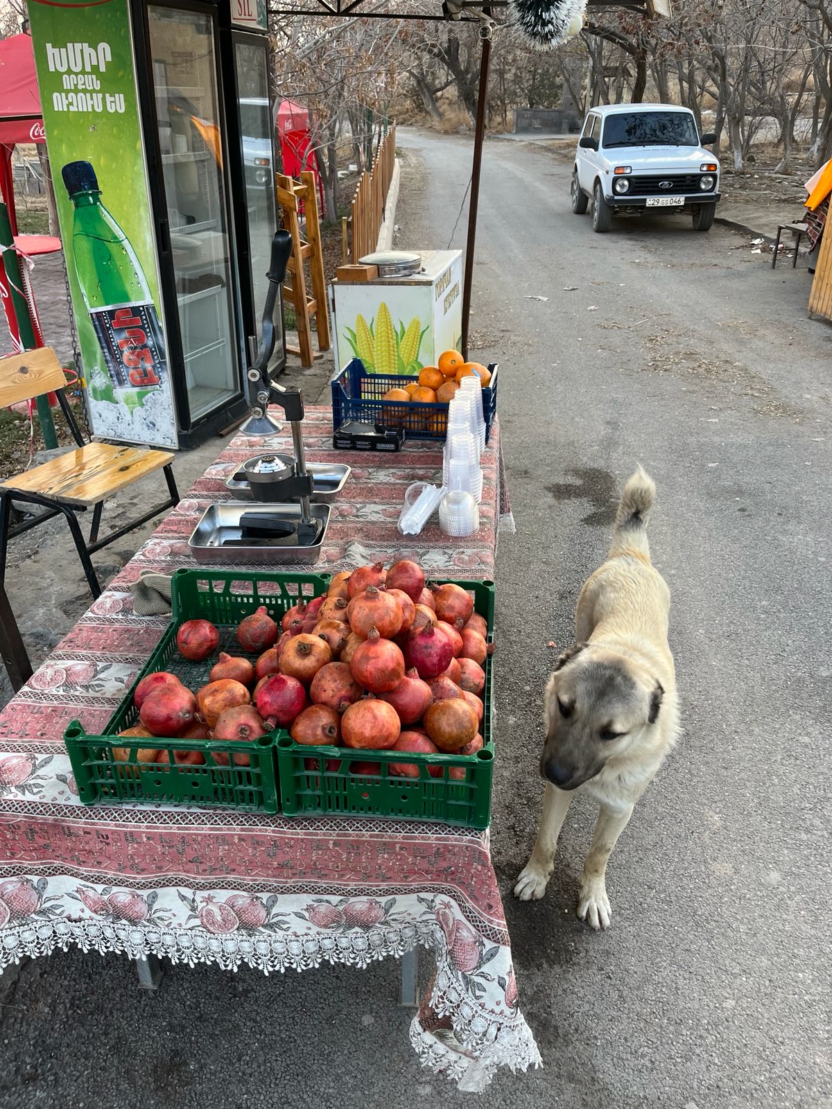
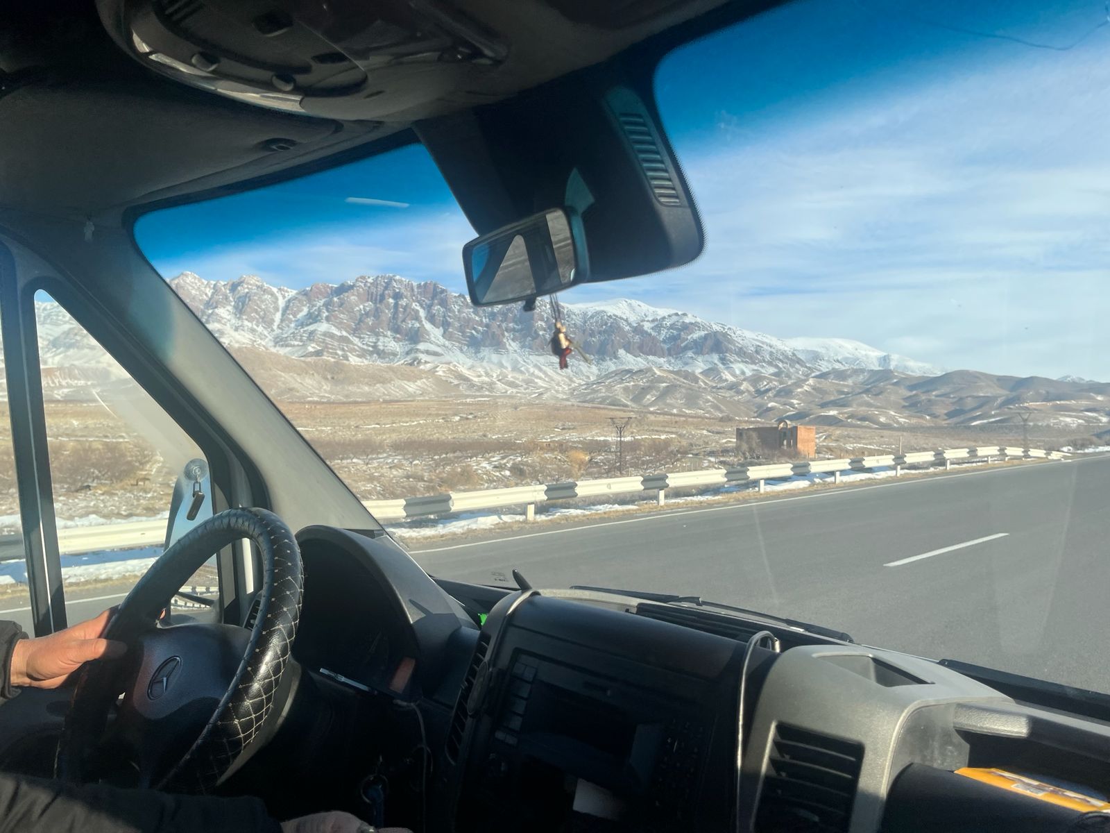
Tatev is 245 km south of Yerevan in the Syunik region, approximately three to four hours by private taxi or rental car; this is the longest single drive of the loop and the reason it opens the route while energy is highest. The road runs south through the Ararat Valley and into Vayots Dzor, with the Areni wine region as the natural stopping point roughly halfway: this is where the Areni-1 cave winery, dated to approximately 4100 BC and considered the world's oldest, was discovered, and several working wineries in the village offer tastings directly on the route. Break the drive here rather than pushing straight through.
Base for the night in the village of Tatev itself or in Goris, the regional centre approximately 20 km from the ropeway station, which has a wider choice of guesthouses.
Day 5: Tatev
Wings of Tatev ropeway: The world's longest non-stop reversible double-track cable car at 5.7 km, opened in 2010 as part of a monastery restoration project. The ropeway descends 320 metres into the Vorotan Gorge from the village of Halidzor to the monastery of Tatev on its basalt promontory. The descent takes 12 minutes; the view into the gorge and back toward the Armenian highlands is one of the most dramatic from any cable car in the region. Return tickets cost approximately 7,000 AMD. A road also connects the valley to the monastery for those who prefer not to use the ropeway.
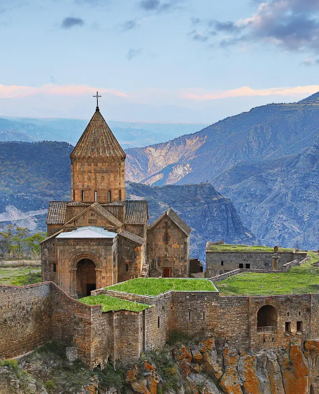
Tatev Monastery: Founded in 895 AD, one of the most important medieval centres of Armenian Christianity and scholarship. The monastery occupies a triangular basalt plateau with 200 to 300-metre drops on the gorge sides; the defensive logic of the position is immediately apparent. The main church of St Paul and Peter dates from the 9th century and contains significant medieval frescoes. The Gavazan Column, a free-standing khachkar on a pivoting base in the monastery courtyard, was engineered to swing during earthquakes as a defensive early warning system. The monastery library was one of the most significant centres of Armenian manuscript production in the medieval period.
Shaqi Waterfall: A 30-minute drive from Tatev toward the village of the same name, accessible by a short trail from the roadside. The waterfall drops approximately 18 metres over a basalt ledge into a pool; the surrounding canyon walls and the force of the fall in spring and early summer make it one of the more impressive natural stops in the Syunik region.
Day 6: Tatev to Jermuk
The drive back north to Jermuk is approximately 100 km, roughly two hours, and runs back through Vayots Dzor. This is a considerably easier day than the drive down, and there is time on arrival for an evening at the springs.
Day 7: Jermuk
Jermuk sits at 2,080 metres in a valley of the Arpa River, surrounded by highland meadows and bare volcanic peaks. The town is built around its mineral springs, which have been used therapeutically since at least the Soviet period when the town was developed as a major spa resort. The springs emerge at 43°C from volcanic rock throughout the town; the Mineral Water Gallery (Sharjharapet) is a covered promenade where you can drink from multiple different spring sources, each with a different mineral composition. The springs are the source of Jermuk mineral water, Armenia's most exported non-alcoholic product.
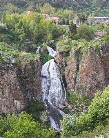
The Arpa River Gorge walk begins near the town centre and follows the river through a dramatic basalt canyon, passing several natural pools and small waterfalls. The Jermuk Waterfall on the Arpa above the town drops approximately 72 metres in a powerful curtain visible from the main viewpoint road; the full falls are more impressive in spring when the snowmelt is at its peak.
Walking trails from Jermuk into the surrounding alpine terrain cover the meadows of the Vayots Dzor plateau, which in July and August are filled with wildflowers specific to this altitude range.
Day 8: Jermuk to Sevan, via the Selim Pass
⚠️ The Selim Pass (2,410 metres) is the connecting road between Vayots Dzor and the Gegharkunik region around Lake Sevan; it is a genuine, driveable stretch of the historic Silk Road and avoids the alternative of backtracking north through Yerevan. Snow can close or seriously slow the pass between late autumn and spring; confirm current road status before departure if travelling outside the June to September window.
At the summit, the Selim Caravanserai is a 14th-century stone waystation, one of the best-preserved on the historic trade route, with its original vaulted interior intact. It is a short stop, ten to fifteen minutes, but a genuinely rare piece of medieval infrastructure to see in situ rather than in a museum.
The descent on the far side opens onto the Sevan plateau. Lake Sevan sits at 1,900 metres, one of the largest high-altitude lakes in the world at 1,242 square kilometres, with clear, cold water and a quality of light at this altitude that is noticeably different from the valley.
Sevanavank Monastery sits on a peninsula (formerly an island before Soviet-era irrigation lowered the lake level) visible from most of the western shore. The walk up from the water takes 20 minutes; the two surviving churches of the original 9th-century monastery complex give clear views over the full expanse of the lake.
For the afternoon or overnight stop, Wishup and Communa are the two named beach recommendations, both on the western shore near the town of Sevan. Both are better-maintained and less crowded than the main town beaches; Communa in particular has established itself as the most socially vibrant beach destination at the lake with a summer bar scene that extends into the evening.
Day 9: Sevan to Dilijan
The drive from Sevan to Dilijan is short, approximately 30 km through the Semyonovka tunnel, around 40 minutes. The Tavush region begins here: the most forested part of Armenia, dense deciduous forest of oak, beech, hornbeam and maple that turns extraordinary colours in October and early November.
Dilijan is the main town and the gateway to the Tavush forest, sometimes called the Armenian Switzerland for the density and character of its woodland. The town has a renovated old quarter (Sharambeyan Street) with 19th-century merchant houses, craft workshops and small cafés. Parz Lake (Clear Lake) is 10 km from town in the Dilijan National Park: a small highland lake accessible by a short walk through beech forest.
Haghartsin Monastery: 18 km from Dilijan, deep in the forest, a 12th-century complex of three churches and a dining hall built from local basalt, surrounded by mature forest on three sides. Arriving in early morning before tour groups is the correct approach.
Day 10: Tavush region
Ijevan and Yenoqavan: Further east along the Tavush valley, Ijevan is the regional capital, a working town with a wine museum and some of the oldest wine-making traditions in the country. Yenoqavan, a small village in the forested hills above Ijevan, is accessible by a short forest walk and gives the most direct experience of the region's village character away from any tourist infrastructure.
Day 11: Dilijan to Gyumri
The drive west to Gyumri is approximately 170 km via Vanadzor in the Lori region, around three to three and a half hours by road; there is no practical train or marshrutka connection directly between Dilijan and Gyumri, so a private taxi or rental car is the only realistic option for this leg.
Armenia's second-largest city is built from dark basalt that gives it a noticeably heavier character than Yerevan's pink tuff. The city was devastated by the 1988 Spitak earthquake, which killed over 25,000 people across the region, and many areas still carry traces of the reconstruction period. The historic centre, the Kumayri Historic District, survived in better condition and preserves the most intact example of 19th-century Russian imperial provincial architecture in Armenia: ornate carved stone facades, wide avenues, covered markets and a particular urban scale that Yerevan's rapid development has erased.
Gyumri has developed a reputation as Armenia's creative city: a concentration of artists, musicians and craftspeople who have found the lower costs and slower pace of the second city more amenable than the capital. The Black Fortress (Amenaprkich Fortress) on the edge of the city was built by the Russian military in the 19th century and gives views over the city and toward the closed Turkish border. The Aslamazyan Sisters' Museum covers the work of two Armenian painters whose careers spanned the full Soviet period.
Day 12: Gyumri to Yerevan
The return to Yerevan is 125 km, approximately one and a half hours by train from Gyumri's own station, the more comfortable and atmospheric option, or by marshrutka. This closes the loop back at the capital for departure, or for an additional buffer day if flight timing allows.
.png)