Day 2: Reykjanes Peninsula
Drive southwest from Reykjavík on Route 41 toward the Reykjanes Peninsula, approximately 45 minutes. The entire peninsula sits on the Mid-Atlantic Ridge where the North American and Eurasian tectonic plates meet; it is one of the only places on Earth where this plate boundary is above sea level, and the geological character of the landscape reflects it directly: low, black, fractured lava fields with almost no vegetation, steam vents and sulphur deposits, and a coastline where the Atlantic hits basalt with full force.
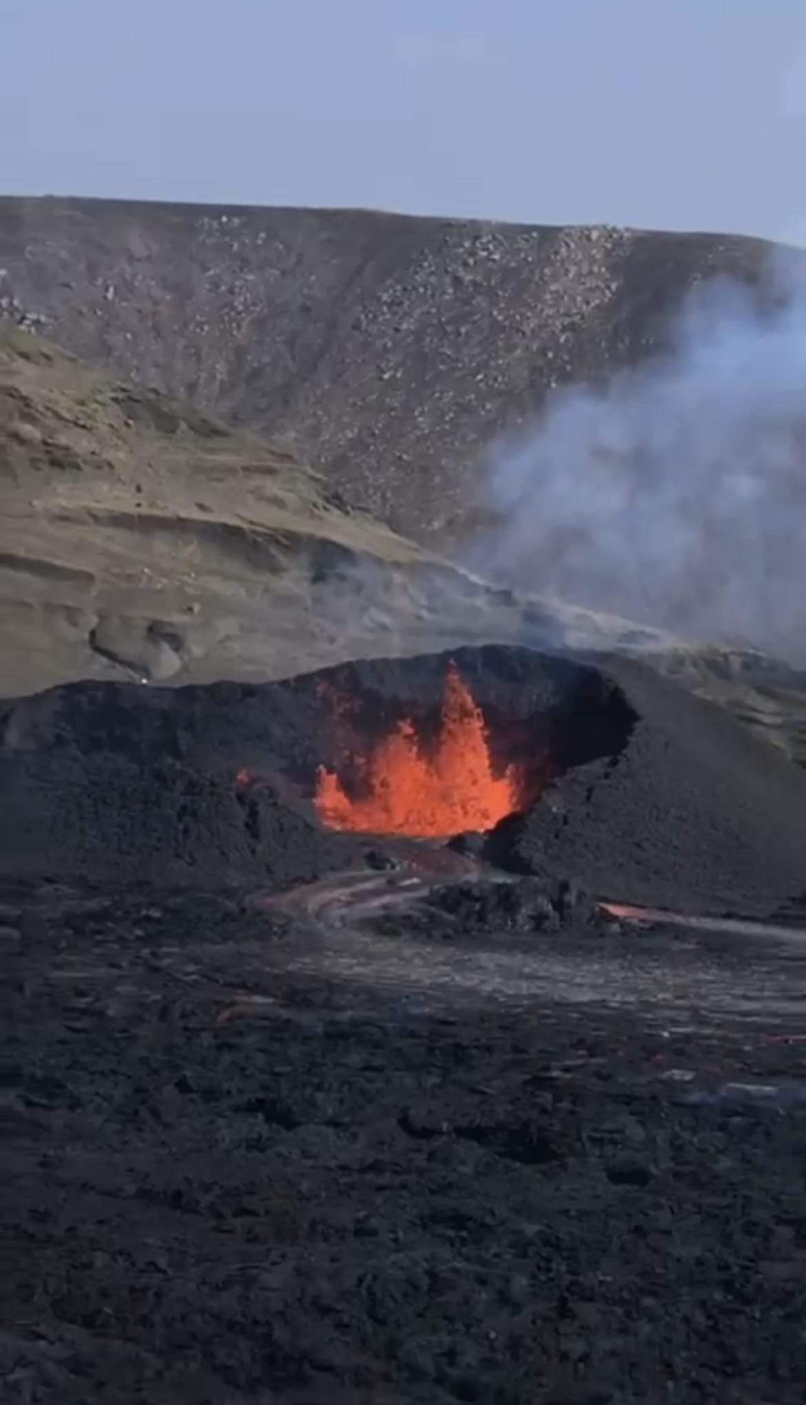
Fagradalsfjall and Festarfjall: The Fagradalsfjall volcanic system on the southern Reykjanes Peninsula produced eruptions in 2021, 2022 and 2023 that are some of the most accessible eruption sites in recent global volcanic history. The lava fields from these eruptions are still new enough to look sharp and freshly made; the standard plant colonisation that softens older lava surfaces has barely begun. The hike from the Fagradalsfjall trailhead at Grindavík toward the newest lava takes 30 to 90 minutes depending on which flow you are walking to. The ground radiates heat in places even in 2025 and 2026; respect the rope lines and do not step onto surfaces that are smoking or visibly discoloured. Festarfjall is the adjacent mountain whose trails give the widest overhead perspective on the full lava field extent.
Bridge Between Continents: A pedestrian bridge over a small rift valley near Reykjanesviti lighthouse, built to allow visitors to walk symbolically between the North American and Eurasian plates. The geological significance is real; the symbolic experience is modest. Worth 20 minutes on the way south.
Blue Lagoon: Book in advance; the Blue Lagoon has operated an online-only reservation system since 2016 and walk-in access is not available. Entry costs approximately ISK 8,990 to 14,990 depending on the package. The silica-blue water sits at approximately 37 to 39°C and is a geothermal byproduct of the Svartsengi power plant rather than a natural hot spring, though the minerals in the water (silica, algae, minerals) are entirely natural. The setting, low black lava walls enclosing the milky blue pool with steam rising and the power plant visible behind it, is genuinely strange and beautiful. The algae face masks available at the bar in the pool are free and make photographs look exactly like what they are. Book the afternoon slot to arrive after the morning crowds.
Day 3: Golden Circle / Þingvellir and Silfra
The Golden Circle is the most visited day circuit in Iceland: Þingvellir National Park, Geysir geothermal area and Gullfoss waterfall, all within 300 km of Reykjavík on paved roads. Most visitors do it as a rushed day; staying at or near Þingvellir and starting early gives you the first two to three hours at Silfra before the tour groups arrive.
Þingvellir (Thingvellir) National Park: Iceland's most historically significant site and a UNESCO World Heritage Site. The Alþingi, the world's oldest surviving parliament, was founded here in 930 AD on the edge of the Mid-Atlantic Rift; the rift valley that splits the park is the visible gap between the two tectonic plates. The main viewpoint from Hakið gives the full panorama of the rift valley, Þingvallavatn lake and the lava plain. The walk down through the Almannagjá gorge (the main rift crack) takes 30 minutes and ends at the original parliamentary site at Lögberg (Law Rock). Entry to the park is ISK 750 per adult from June to August.
Silfra snorkelling: Silfra is a fissure between the North American and Eurasian tectonic plates in Þingvallavatn Lake. The water filling it is glacial melt from Langjökull that has been filtered through lava rock for 30 to 100 years before entering the fissure, which produces underwater visibility exceeding 100 metres on most days. The water temperature is 2 to 4°C year-round regardless of season.
All tours provide dry suits or wetsuits; you must bring thermal base layers and wool socks. Tours run with a maximum of six participants per guide; no self-guided snorkelling is permitted. Book early during peak season (June to September) as morning slots sell out several days in advance. The main operators are Dive.is and Arctic Adventures; both are well-reviewed and run multiple daily departures from the Silfra car park at Þingvellir (meet at Þingvellir P5 and walk 400 metres back to the smaller car park with the tour vans). Cost approximately ISK 20,000 to 25,000 per person. The snorkel itself takes approximately 40 minutes in the water; plan three hours total for briefing, suiting up, the water section and drying off afterward.
Bring plenty of layers, especially for your extremities: wool socks and thick gloves are essential. The face is the part you cannot protect; your skin adjusts.
Geysir: The geothermal area 80 km east of Þingvellir where the English word geyser originates. The original Geysir erupts rarely now; Strokkur, its neighbour, erupts every five to ten minutes to a height of 15 to 30 metres. Go around to the back of Strokkur (opposite from where most visitors stand) for an angle that puts the eruption against sky rather than crowd. Allow 45 minutes. The surrounding geothermal field has hot springs and fumaroles accessible on walking paths.
Gullfoss: Iceland's most famous waterfall, two tiered, dropping 32 metres into a canyon. Walk to the lower platform for the full force of the spray; the upper path gives the wider geological context of how the canyon was carved. In winter the falls partially freeze. Allow 45 minutes. Avoid the café at the top; it is overpriced.
Day 4: South Coast drive
The South Coast from Vík to Höfn is the most visually varied single day's driving in Iceland: two major waterfalls, a black sand beach and sea stacks, farmland beneath glacier tongues and the approach to Vatnajökull, Europe's largest ice cap.
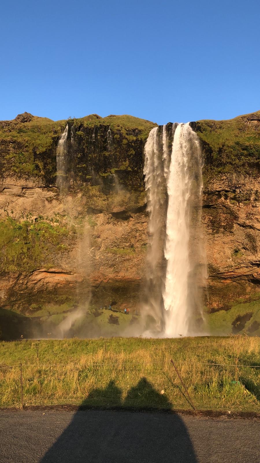
Seljalandsfoss: 100 metres off Route 1, no detour needed; park at the signed car park. The 60-metre fall drops off the edge of the former sea cliff (this entire coast was once below sea level) and uniquely allows a path behind the curtain. The path behind the falls is wet, slippery and extremely cold from the spray; wear waterproofs and non-slip footwear. Worth five minutes of getting very wet. Gljúfrabúi, a hidden waterfall 10 minutes' walk north of Seljalandsfoss reached through a narrow canyon that requires wading, is significantly less visited and more atmospheric.
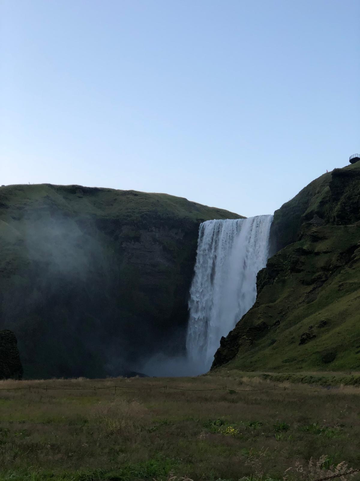
Skógafoss: A 60-metre fall and 25 metres wide, one of the largest in Iceland. The path to the right of the falls climbs 370 steps to the top of the cliff where the Skógá river trail begins; the view down the coast from the top of the stairs, looking south to the black sand plains and the sea, is worth the effort. Below, the constant spray creates rainbows in direct sun. The Skógar Folk Museum adjacent to the falls is one of the better regional museums in Iceland if you have an hour.
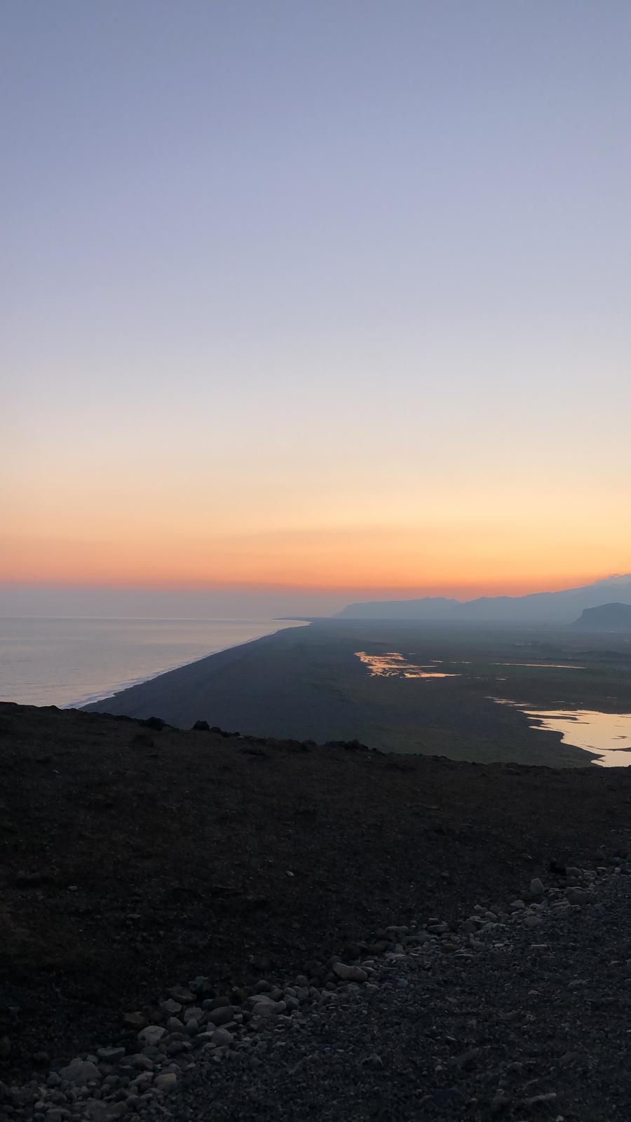
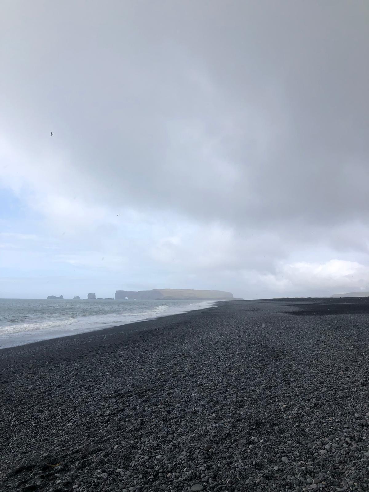
Reynisfjara black sand beach: Continue east to Vík and then to Reynisfjara, signposted off Route 1. The beach is composed of basalt sand ground from the adjacent cliffs, jet black, extending west in a long arc beneath the Reynisfjall mountain. The Reynisdrangar sea stacks emerge from the water offshore; Icelandic folklore holds them to be trolls caught by sunlight. The Hálsanef basalt column cave at the eastern end of the beach has the same hexagonal column formations as the Galway Causeway analogue found throughout Iceland. The ocean at Reynisfjara is extremely dangerous; sneaker waves (waves that arrive without warning from a calm sea) have killed visitors here. Do not turn your back on the water and do not approach closer than 30 metres to the waterline. The warning signs are genuine and have been installed following multiple fatalities.
Vík: The southernmost village in Iceland, 1,500 people, under the Mýrdalsjökull glacier which sits above the Katla volcano. Katla is overdue for eruption by historical standards; when it erupts (considered likely within decades) Vík will be directly in the path of the resulting glacial flood (jökulhlaup). The small Vík church on the hill above town is built on the highest ground precisely as a refuge. Worth knowing before you sleep there.
Day 5: Glacier country
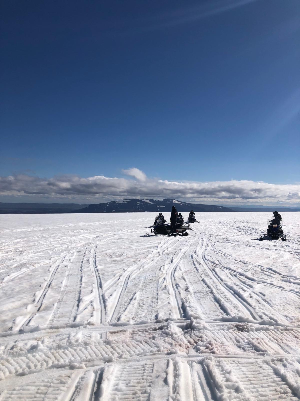
Sólheimajökull glacier hike: An outlet glacier of Mýrdalsjökull, 10 minutes off Route 1 east of Vík. The glacier tongue has retreated significantly over the last two decades; the markers showing its position in 1930, 1960 and 2000 are progressively further from the current glacier face. Guide companies at the car park run ice hikes of 2 to 4 hours from the glacier edge; this requires crampons and ice axes which are provided. You cannot walk on the glacier independently (crevasses are not visible from the surface). Arctic Adventures and Troll Expeditions are both reliable operators. Cost approximately ISK 9,000 to 13,000.
Drive east on Route 1. The view northward for the next 80 km is Vatnajökull, the largest ice cap in Europe, its various outlet glaciers visible descending between nunataks.
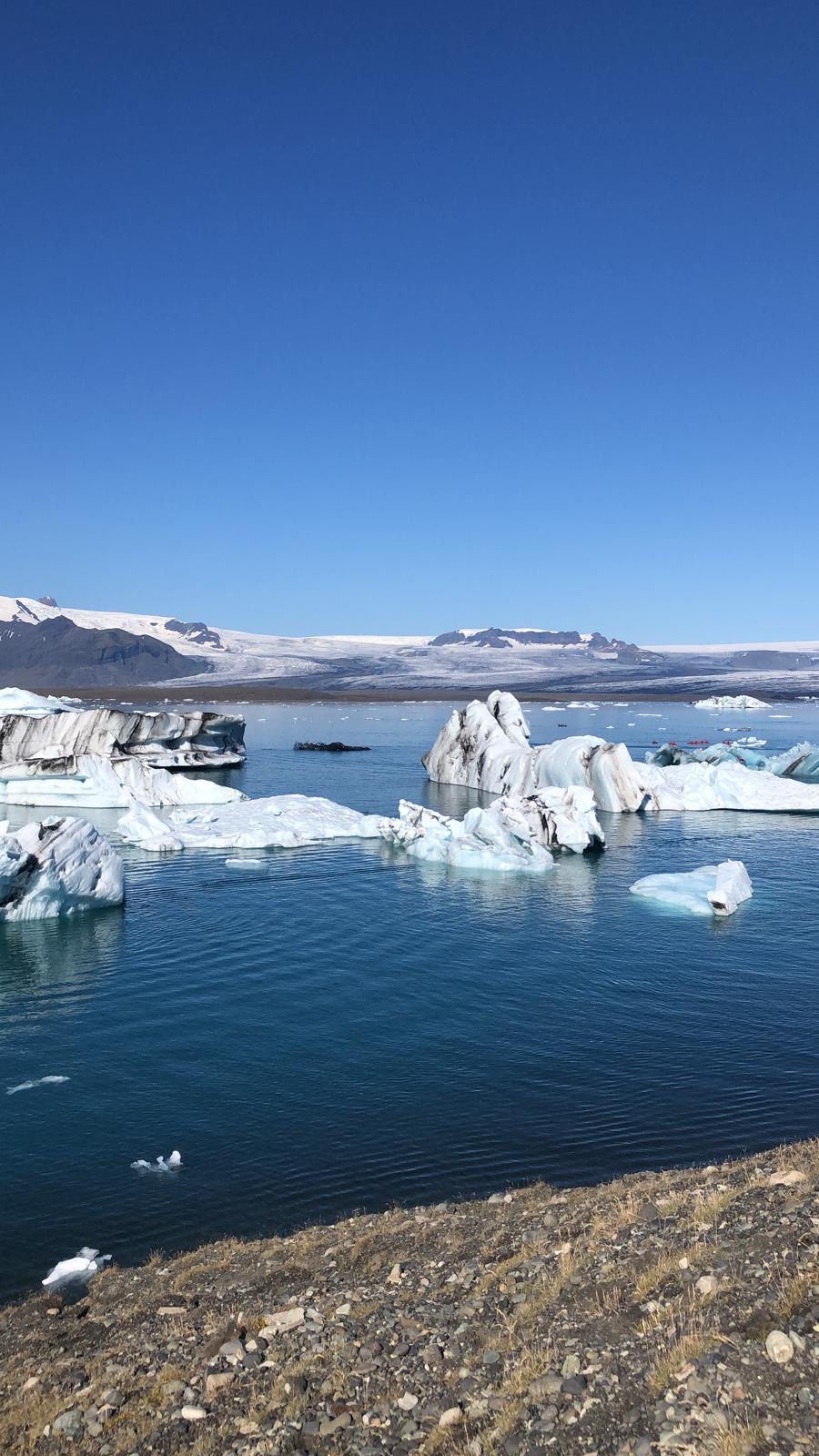
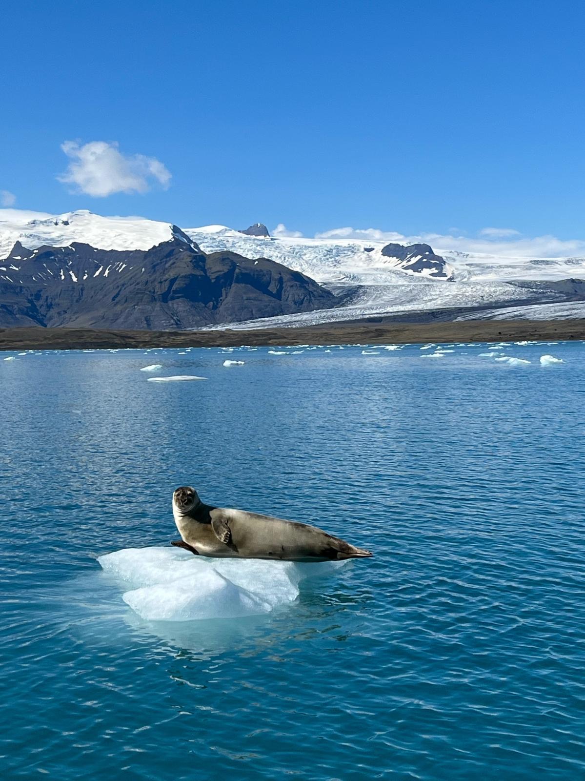
Jökulsárlón glacier lagoon: Vatnajökull's largest outlet glacier, Breiðamerkurjökull, calves icebergs directly into a lagoon that connects to the sea by a short channel. The icebergs range from small to bus-sized; they drift slowly out to sea or rotate in place as they melt, their interiors compressed ice turning the deep blue of centuries of snowfall. The lagoon opened as a tourist site when the glacier retreated far enough to form it in the 1930s and has expanded dramatically since. Amphibian boat tours run from the lagoon shore (Icelandic Adventure Tours, approximately ISK 5,500 for a 40-minute tour); Zodiac boat tours get closer to the glacier face and between the icebergs (approximately ISK 9,500, book in advance). Both depart from the lagoon shore car park. Allow two hours at the lagoon.
Diamond Beach: Immediately across Route 1 from Jökulsárlón, the black sand beach where icebergs that drift through the channel are deposited by the tide and left scattered across the sand. Translucent ice blocks on black sand, backlit by the low Icelandic sun, are one of the most photographed images in the country. Walk along the beach; the ice shapes vary daily.
Day 6: Eastfjords
Drive east from Höfn into the Eastfjords on Route 1. The road enters a series of deep fjords separated by mountain passes, each fjord roughly the same shape but with its own character. Djúpivogur is the first significant settlement, a small fishing village with the Eggin í Gleðivík (Eggs of Merry Bay) sculpture: 34 large granite eggs representing 34 local bird species, arranged on the shoreline. A brief stop.
The drive through the Eastfjords requires patience; the road winds continuously between sea level and 300-metre passes. The light in summer (the fjords face east) is particularly good in the morning. The town of Seyðisfjörður (reachable via a 27 km detour on Route 93) is the most photogenic in the region: a wooden church, a rainbow street leading to it, mountains framing the fjord directly behind. Worth the detour if time allows.
Egilsstaðir: The main town of East Iceland, a functional regional hub with fuel, supermarkets and accommodation. Use it as a base for Stuðlagil Canyon.
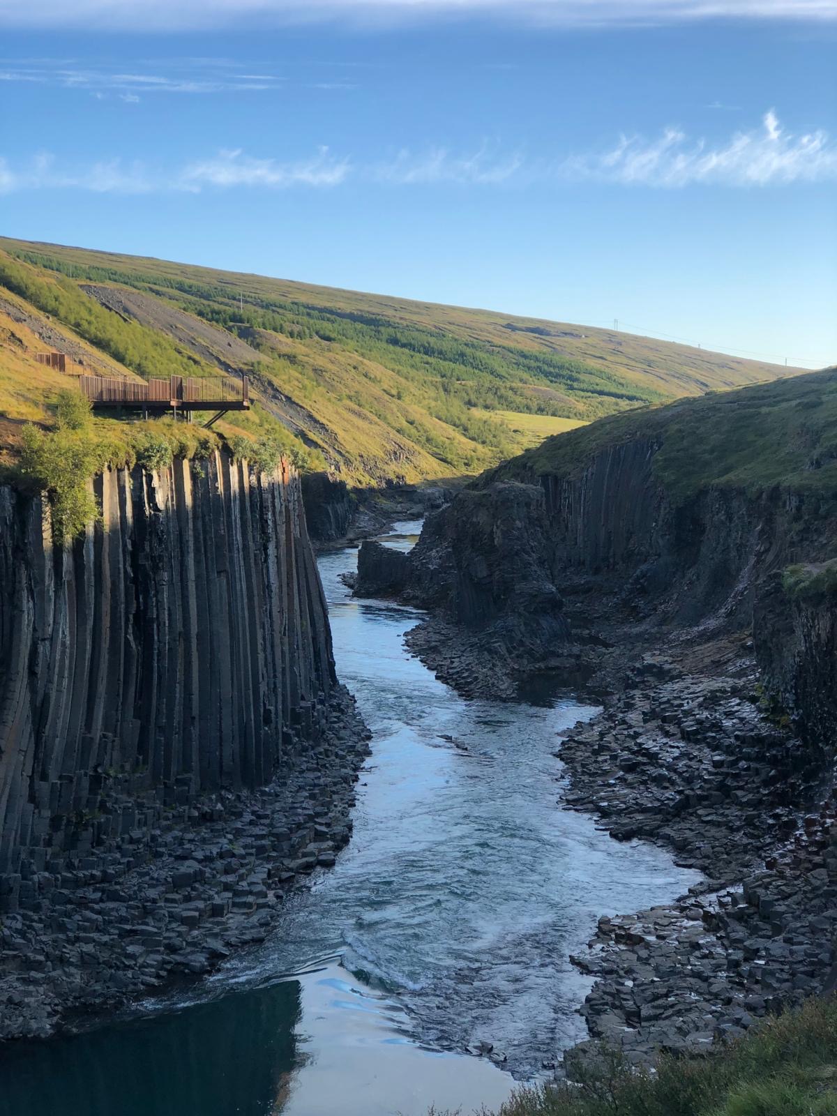
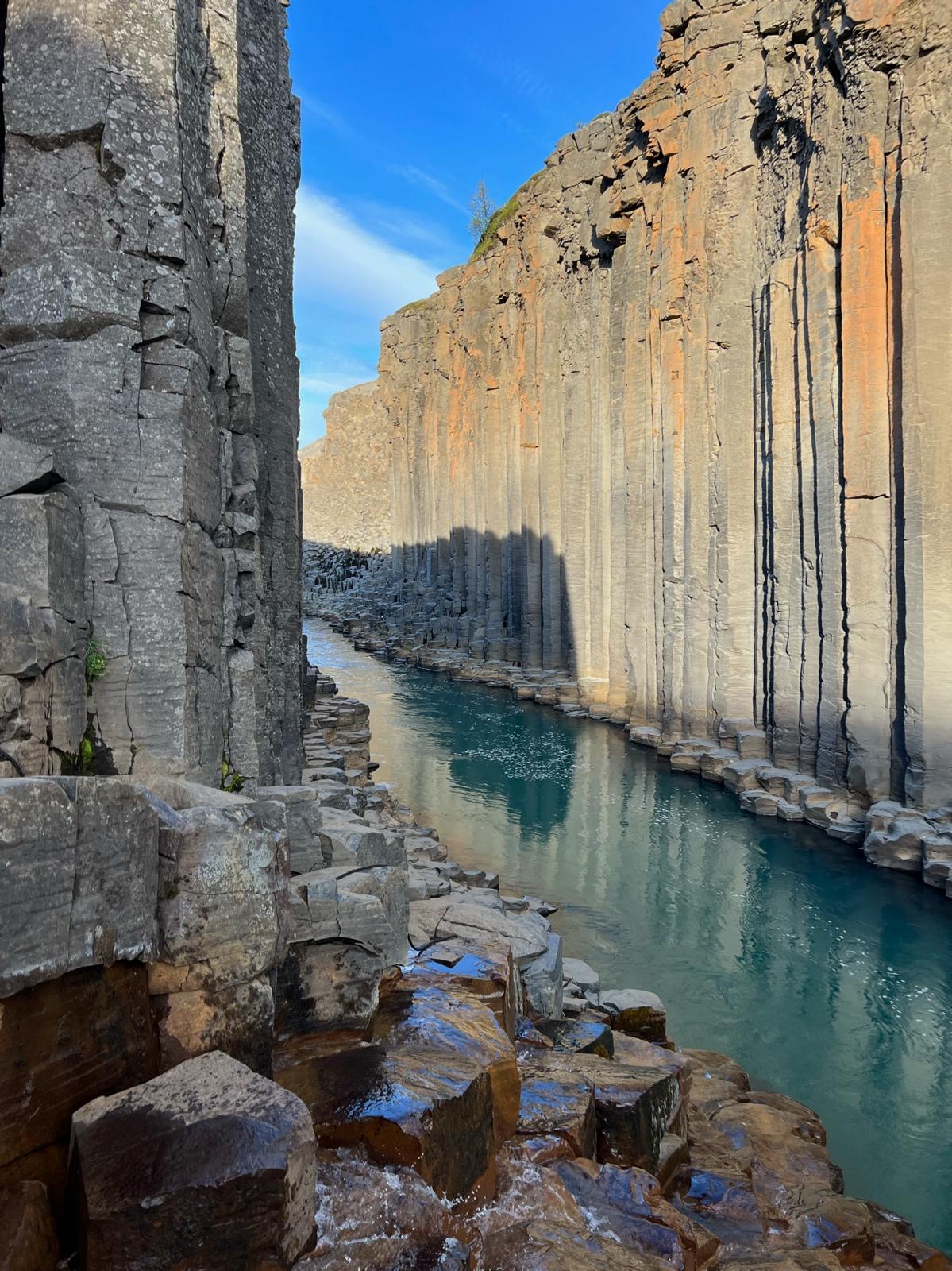
Stuðlagil Canyon: Stuðlagil is in the Jökuldalur valley of East Iceland, home to the largest and most impressive display of hexagonal basalt columns in Iceland. The canyon was largely unknown until the construction of the Kárahnjúkar hydropower dam upstream reduced the water level of the Jökla river, revealing the extraordinary basalt formations that had been submerged for centuries.
Access from the east side (recommended for most visitors): turn off Route 1 onto Route 923 heading north toward Jökuldalur. The flat trail from the east parking lot is about 2 km each way and takes approximately 30 minutes of easy walking along the river. For the west side, which has an overlook with more than 100 stairs descending to a platform above the canyon, there are paid restrooms at the Grund farm adjacent to the parking area. No hiking is accessible from the west side; it is a viewpoint only. Parking at all car parks is free as of 2026. Stuðlagil pairs well with Vök Baths (floating geothermal pools on Lake Urriðavatn, approximately ISK 6,990 as of 2026) for a hike-then-soak day.
June through September is the best time to visit when the water level is lower and the turquoise glacial colour is most vivid.
Days 7 and 8: North Iceland approach via Möðrudalur
Leave Egilsstaðir north on Route 1 then turn west onto Route 901 toward the highland plateau. Möðrudalur, at 469 metres, is Iceland's highest inhabited farm, sitting on a flat lava plateau with Herðubreið volcano visible to the southwest. The turf church at Möðrudalur (built 1949, still in use) and the attached café (Fjallakaffi, reliably good lamb soup and coffee) are the right midpoint stop on the drive north.
Continue northwest toward Mývatn on Route 1 through increasingly volcanic terrain. The road enters Mývatn via the Skútustaðir lava field; pseudocraters (formed when lava flowed over wetland, trapping water that exploded upward) dot the southern shore of the lake. The lake itself is shallow, rich in algae and therefore rich in midges from June to August; bring a midge net or face covering if visiting in summer, the midges are not dangerous but are relentless.
Day 9: Mývatn volcanic north
Hverfjall: A tephra cone volcano rising 452 metres above the Mývatn landscape, approximately 1 km in diameter at the rim. The 30-minute ascent on the marked path gives a view into the flat, featureless crater interior and out over the lake, the lava fields and Vatnajökull on the southern horizon. Cross the crater rim to the north side for the view toward Krafla.
Námaskarð (Hverir): An active geothermal field immediately east of Hverfjall on the Route 1 roadside: mud pots, steam vents, sulphur deposits and boiling ground in an area that smells strongly of hydrogen sulphide and looks like a different planet. The colours (orange, yellow, white, grey) are mineral deposits from the geothermal activity. Stay on the marked paths; the thin crust over boiling ground elsewhere on the field is genuine. Free entry, always open.
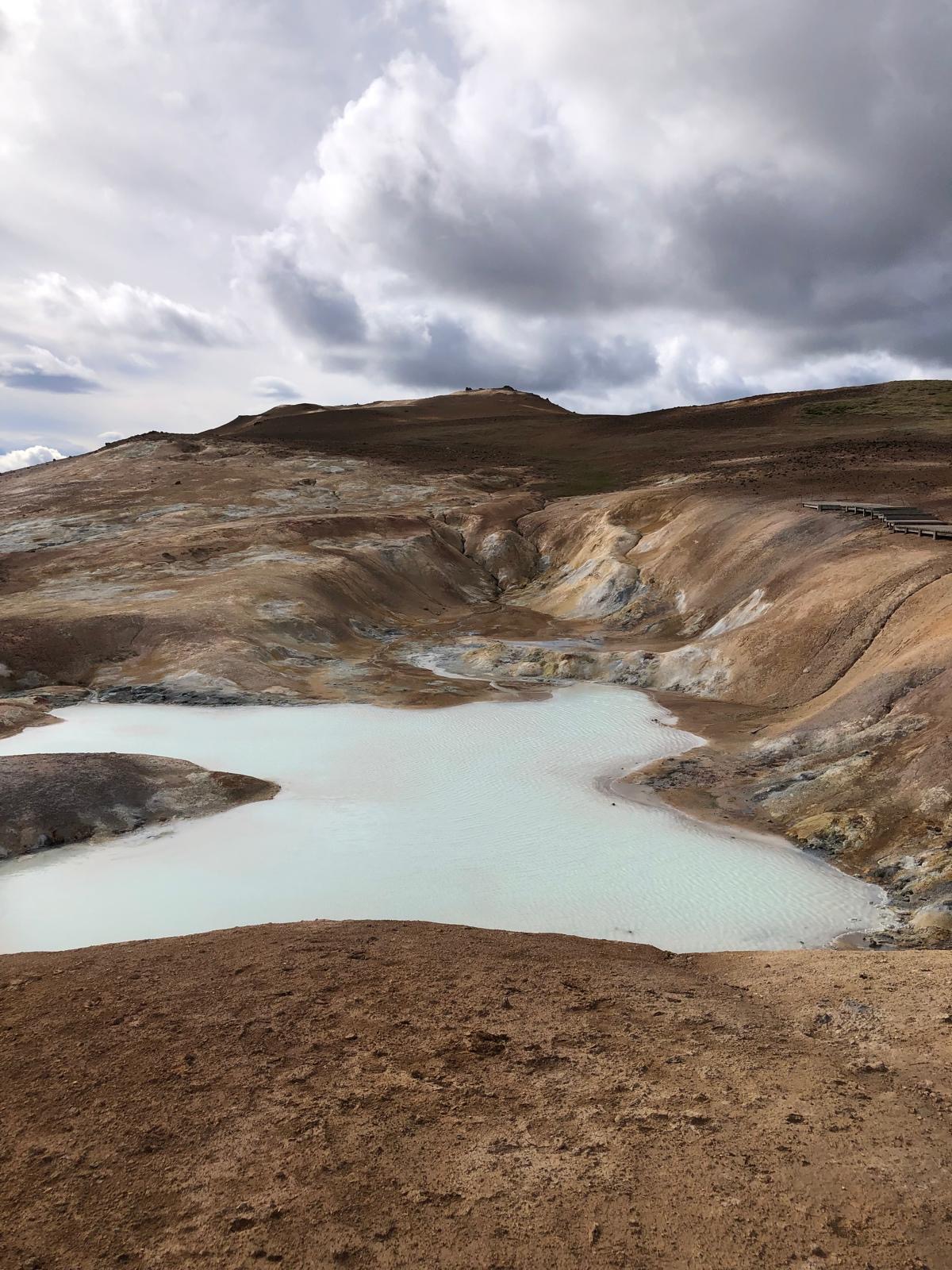
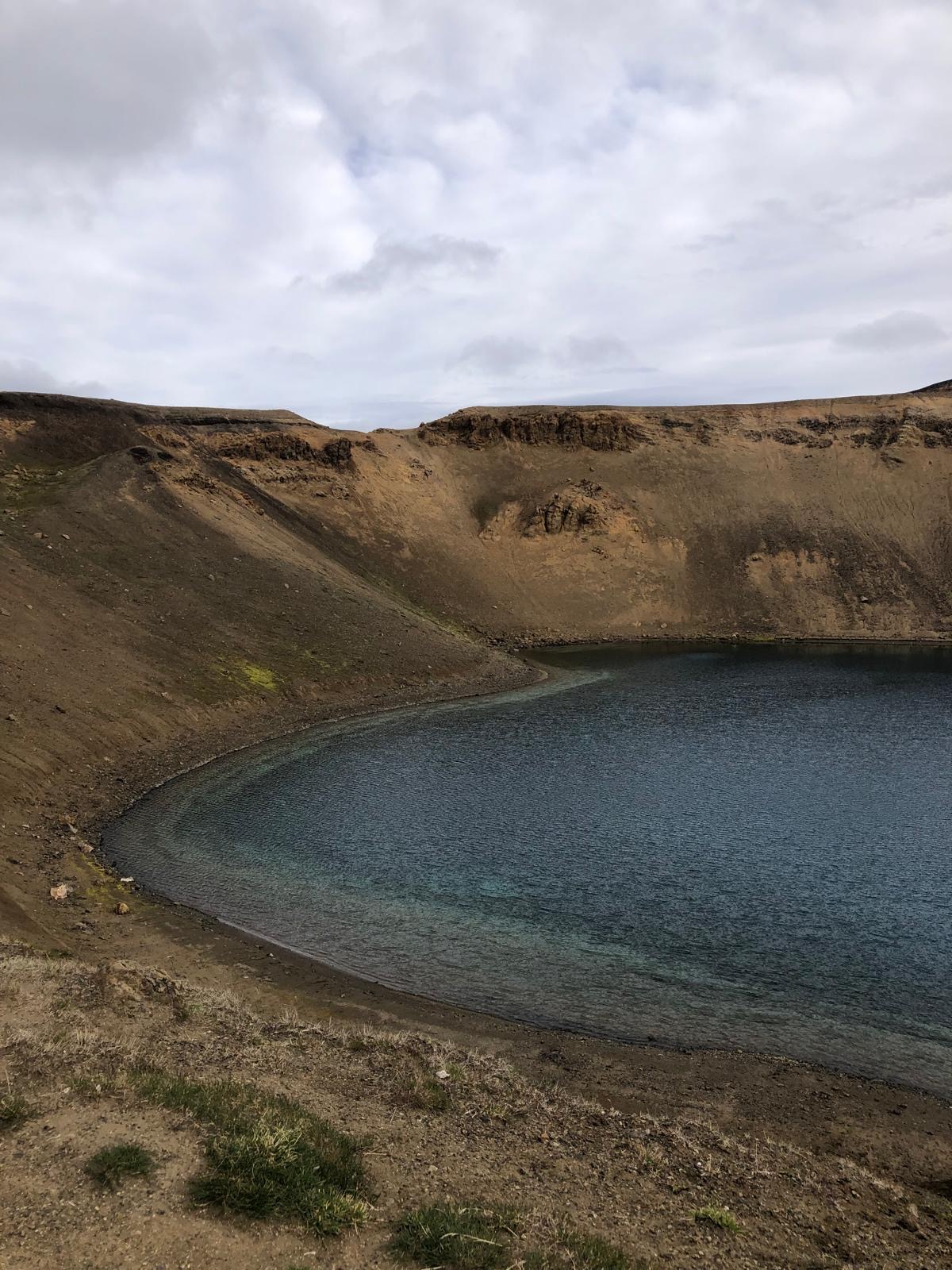
Krafla: Drive north on Route 863 to the Krafla caldera, a volcanic system that was active between 1975 and 1984 in a series of eruptions and subsidence events known as the Krafla Fires. The Viti explosion crater (200 metres diameter, containing a turquoise geothermal lake) is a 10-minute walk from the car park. The Leirhnjúkur lava field adjacent to Viti is the newest lava in the area; walking the marked path through it takes 30 to 45 minutes and covers terrain that ranges from cooled black rubble to still-steaming cracks.
Grjótagjá cave: A small lava cave on the south side of Route 1 between Mývatn and Krafla with a geothermal pool inside. The water was swimmable until the Krafla eruptions raised the temperature to unsafe levels; it has since cooled but swimming is officially prohibited. The cave itself is worth the 5-minute stop for the blue light on the water and the otherworldly atmosphere.
Day 10: Dettifoss and Ásbyrgi
Drive north from Mývatn on Route 1 and then east on Route 862 (sealed) or 864 (unsealed, 4x4 advisable) toward Dettifoss. The east bank approach on 862 is the recommended route: the view from the east side shows the full force of the falls from above rather than the narrower west bank perspective.
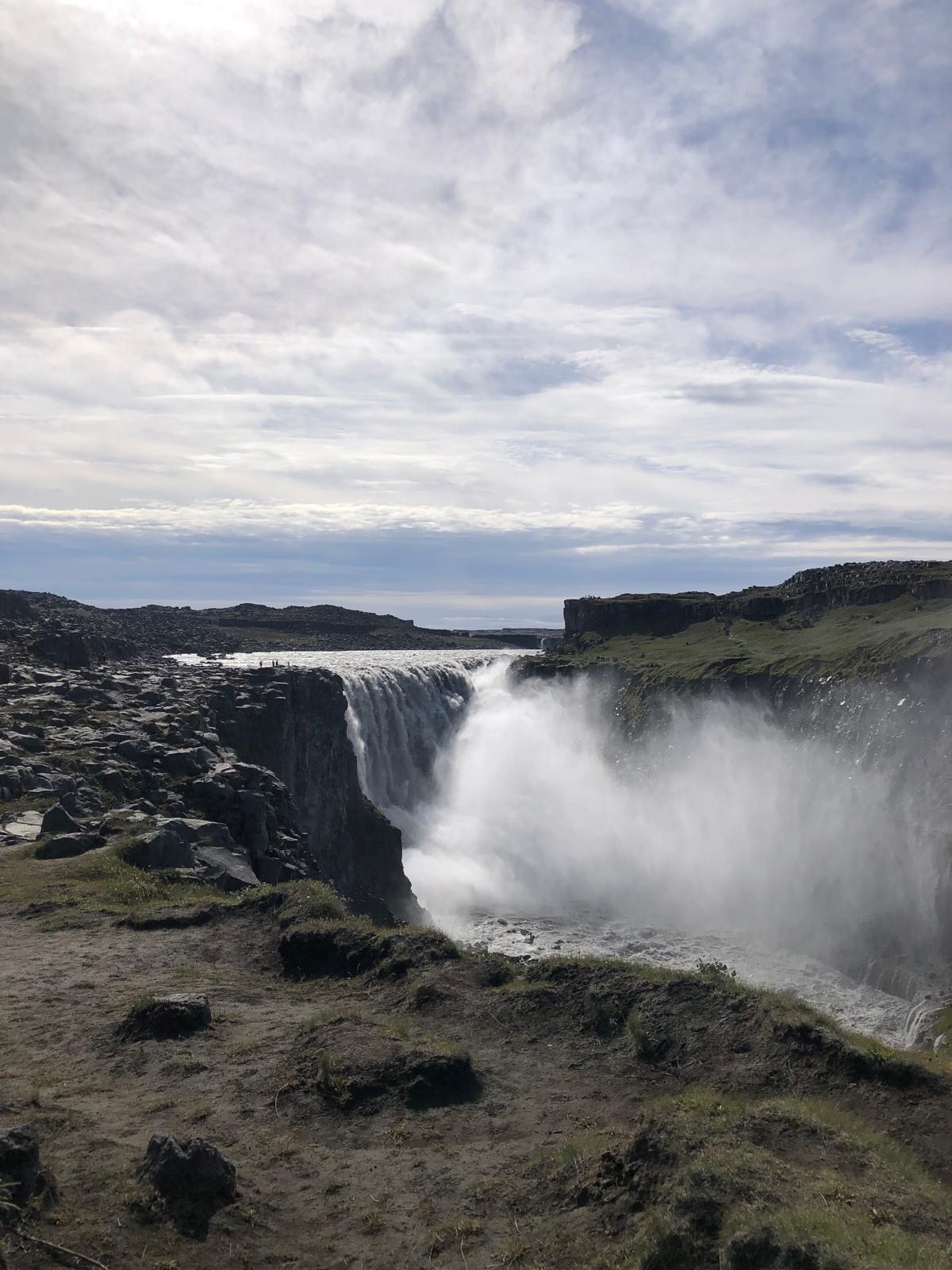
Dettifoss: Europe's most powerful waterfall by volume, carrying approximately 200 cubic metres per second of glacial water over a 44-metre drop into the Jökulsárgljúfur canyon. The sound is audible before the falls are visible; the vibration through the ground is felt before you reach the viewing platform. The water is grey-brown from glacial sediment, which combined with the spray and the raw basalt canyon gives it a completely different character from Iceland's clearer waterfalls. There are no barriers between visitors and the edge; exercise judgment. Upstream, Selfoss (a 10-metre, 100-metre-wide cascade, quieter and more photogenic) and downstream, Hafragilsfoss are both worth visiting on the same trail. Allow two hours for the full Dettifoss area.
Ásbyrgi canyon: Drive north to Ásbyrgi, a horseshoe-shaped canyon 3.5 km long and 1 km wide, carved by catastrophic flooding from beneath Vatnajökull approximately 2,000 to 3,000 years ago. The canyon walls are 100 metres high and a birch forest grows on the flat canyon floor. Icelandic mythology holds that Ásbyrgi was formed by the hoof-print of Óðinn's eight-legged horse Sleipnir. The Eyjan outcrop at the canyon centre is accessible by a short marked walk and gives a view of the full horseshoe from the inside.
Day 11: Snæfellsnes Peninsula
Drive west from Reykjavík (or loop back from the north on the Ring Road) to the Snæfellsnes Peninsula, 200 km northwest of the capital. The drive takes approximately two and a half to three hours.
Snæfellsnes is a 90 km long peninsula ending at Snæfellsjökull, the glacier-capped volcano that Jules Verne used as the entrance to the Earth's interior in Journey to the Centre of the Earth (1864). The glacier is visible from Reykjavík on clear days; the peninsula road circles it through a landscape of black beaches, lava flows, fishing villages and basalt sea stacks.
Kirkjufell: The isolated mountain at the town of Grundarfjörður, its distinctive symmetrical peak reflected in the river below (Kirkjufellsfoss is the waterfall immediately adjacent). The mountain appears in Game of Thrones as Arrowhead Mountain; this is now the most photographed location in Iceland. The car park fills early; go before 9 am or after 7 pm in summer for any chance of the composition without other photographers in it.
Snæfellsjökull glacier: The summit can be reached by snowcat tour from the south side of the peninsula or by a serious mountaineering expedition from the north. The glacier is currently retreating; its complete disappearance within decades is considered likely by glaciologists. The Snæfellsjökull National Park surrounding it covers the full western tip of the peninsula including Djúpalónssandur (a black beach with four lifting stones used historically to test the fitness of fishermen; the stones range from 23 kg to 154 kg and the strongest is beyond most visitors) and Lóndrangar (two volcanic plugs rising from the sea, one 75 metres and one 61 metres, the most dramatic coastal formations on the peninsula).
Arnarstapi: A small harbour village on the south coast of the peninsula with sea arch formations and a large colony of nesting Arctic terns (aggressive in June and July when chicks are present; do not approach nests and carry a stick above your head if the terns are diving). The 2.5 km coastal walk between Arnarstapi and Hellnar is one of the shorter and more varied walks in the region.
Day 12: Reykjavík final day
Return from Snæfellsnes to Reykjavík. Remaining time in the city: the National Museum of Iceland (Þjóðminjasafn Íslands) on Suðurgata covers the full arc of Icelandic settlement from the Viking age to the 20th century, with particular depth on the Commonwealth period (930 to 1262 AD) when the Alþingi was the governing institution; allow two hours. The Settlement Exhibition (871±2) on Aðalstræti in the city centre displays the excavated longhouse of one of Reykjavík's earliest settlers under a glass floor in situ; the date in the name is derived from volcanic tephra layers that bracket the house's construction.
Kolaportið flea market: Open on weekends from 11 am to 5 pm at the harbour, selling old Icelandic books, second-hand clothing, Icelandic food products and various odds; the hákarl (fermented Greenlandic shark, the national dish that smells of ammonia) is available for tasting and is worth trying for the complete picture of Icelandic food culture.
For a final dinner: Dill (New Nordic, first Michelin star in Iceland, book weeks ahead), Grillið at the Radisson Blu Saga Hotel (the panoramic rooftop restaurant with the best views over the city), or Matur og Drykkur (modern Icelandic using traditional preparations, the most interesting kitchen for those interested in the food culture specifically).
Day 13: Departure from Keflavík
Allow two hours before your flight from Keflavík. The Flybus from BSÍ terminal in Reykjavík takes 45 minutes; book in advance or buy at the bus terminal. Alternatively, book a transfer through your accommodation. The airport has one terminal building; arrivals and departures share facilities. Security queues can be long in summer peak periods (June to August); add 30 minutes buffer if travelling in this window.
.png)