Day 3: Lake Tekapo
The drive from Christchurch to Lake Tekapo is approximately 220 km, taking two and a half to three hours on State Highway 1 south to Rangitata and then inland on SH8 through Fairlie into the Mackenzie Basin. The landscape changes decisively after Burkes Pass: the mountains appear, the grasslands open into a wide basin of golden tussock, and the sky becomes enormous. This is one of the better drives on the South Island.
Lake Tekapo (Takapō in Māori) sits at 707 metres above sea level. Its colour, the extraordinary milky turquoise that photographs struggle to accurately represent, comes from rock flour: fine particles of ground rock suspended in melt water from the surrounding glaciers, which reflect the blue-green wavelengths of light and give the lake its distinctive tone.
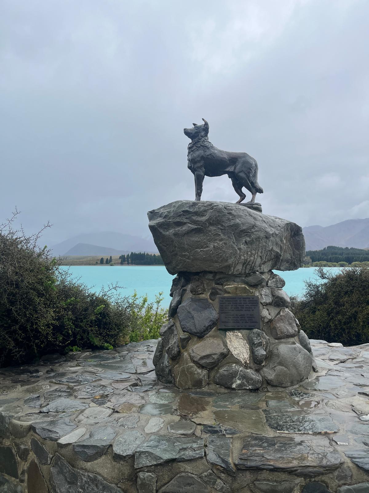
The Church of the Good Shepherd sits directly on the lakefront and is one of the most photographed buildings in New Zealand. It was built in 1935 from local stone and has an east-facing window that looks directly onto the lake and mountains. It is an active church and small; photography inside is not permitted during services. The lakeside path around it and the sheepdog memorial statue on the shore give you the classic Tekapo compositions without needing to go inside.
Mount John Observatory and stargazing: Lake Tekapo sits inside the Aoraki Mackenzie International Dark Sky Reserve, the largest dark sky reserve in the Southern Hemisphere. Two main operators offer stargazing tours with meaningfully different experiences:
The Dark Sky Project (darkskyproject.co.nz) runs from the summit of Mount John, home to the University of Canterbury's professional research observatory. The Summit Experience involves transport to the top, guided telescope viewing including a 16-inch telescope inside an observatory dome, and naked-eye constellation work. This is the more serious astronomical experience and is the southernmost professional stargazing facility in the world.
Tekapo Stargazing (tekapostargazing.co.nz) offers a combined 90-minute hot pools and stargazing experience, the only one of its kind in New Zealand: you stargaze with guided telescopes while soaking in thermal pools with mountain views. On cloudy nights both operators switch to immersive VR experiences with 360-degree imagery captured above Tekapo.
Both require advance booking; clear-sky nights fill up, particularly in summer. The tours run after dark which in summer (December to February) means starting around 10:30 pm to 11 pm. Dress very warmly regardless of the daytime temperature; the summit and lakeshore get genuinely cold after dark and the operators provide poncho coats but a base layer makes a significant difference. If you are not a confirmed night owl, the Crater Experience (75 minutes, in wind-sheltered purpose-built observation craters, slightly shorter and more accessible) is an alternative to the full summit tour.
Day 4: Tekapo to Mount Cook to Wanaka to Queenstown
This is a long day of driving with multiple stops; the total distance if you do all sections is around 400 km. Start early.
Mount Cook detour: The turnoff for Aoraki/Mount Cook National Park leaves SH8 at Lake Pukaki and runs 55 km along the lake's western shore to Mount Cook Village. Lake Pukaki is the largest of the Mackenzie Basin glacier lakes and its colour on a clear day, an intense cobalt blue fed by the Tasman Glacier melt, rivals any lake in the country. Pull over at the Lake Pukaki lookout near the SH8 junction; this is the iconic shot of Aoraki rising above the blue lake that appears on most New Zealand travel posters, and it is exactly that striking in person.
Hooker Valley Track current status (as of mid-2026): The track has been closed beyond the first swing bridge since April 2025 due to construction work and trail damage from flooding. The section to Mueller Lake Lookout remains accessible. The full track is expected to reopen by autumn 2026. Before your visit, check current status at doc.govt.nz as conditions and reopening timelines have shifted multiple times. Even the partial walk to the Mueller Lake Lookout is worth doing; the mountain views are dramatic from the lower valley and the round trip takes around 90 minutes rather than the usual three to four hours. If the full track has reopened by the time you travel, it is 10 km return, easy and flat, three to four hours with stops, three swing bridges over the Hooker River and direct views of Aoraki at 3,724 metres. Start before 9 am to beat the crowds at the car park.
Wanaka: Continue on SH80 back to SH8, then west and north to Wanaka. The town sits at the southern end of Lake Wānaka, backed by the Harris Mountains. It is smaller and calmer than Queenstown and increasingly popular as an alternative base. The lakefront walk from the town centre takes 30 to 40 minutes and gives views south across the lake to the mountains. The Roys Peak Track (16 km return, five to six hours, steep) is the standout day hike but requires too much time for a transit day. The Roy's Peak to Skyline Swing option is also popular. If you are not hiking, the Puzzling World attraction 2 km east of town is a genuinely enjoyable hour of optical illusion and spatial disorientation.
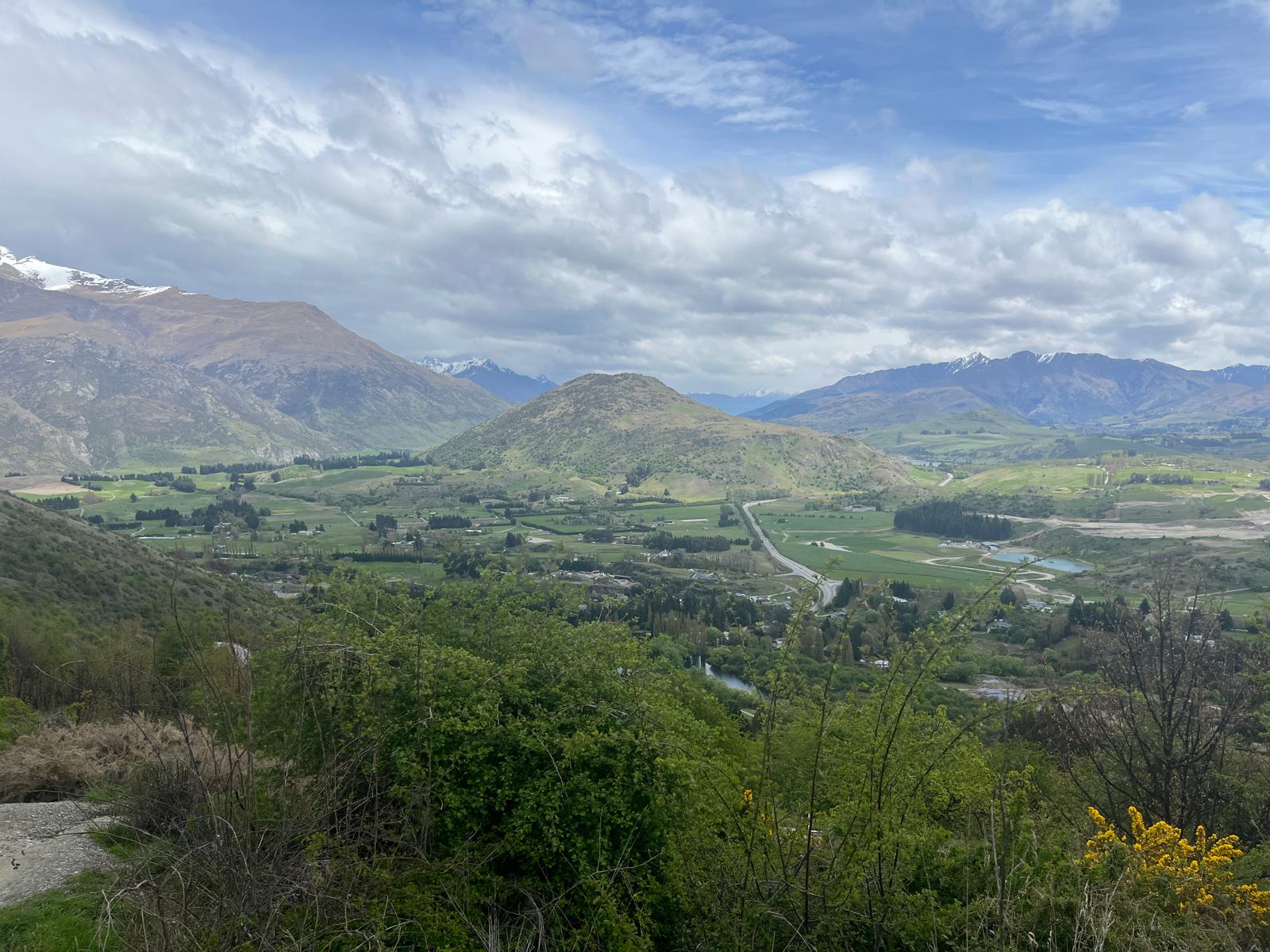
Crown Range Road: The route from Wanaka to Queenstown via the Crown Range is 95 km and takes about 1.5 hours. It crosses New Zealand's highest sealed road at around 1,120 metres. The ascent from the Wānaka side is steep and winding; the descent toward Arrowtown on the Queenstown side is even steeper. It is manageable in a standard car in dry conditions, slow and careful in wet or icy ones. In winter, check conditions before committing; the road can close with snow. The views from the summit looking back over the Wānaka basin and the Crown Range valley are some of the best on the South Island. The alternative is the longer SH6 route via Cromwell (130 km, two hours, also very scenic through the Kawarau Gorge).
Arrive in Queenstown in the early evening and check in.
Days 5 to 7: Queenstown and Fiordland
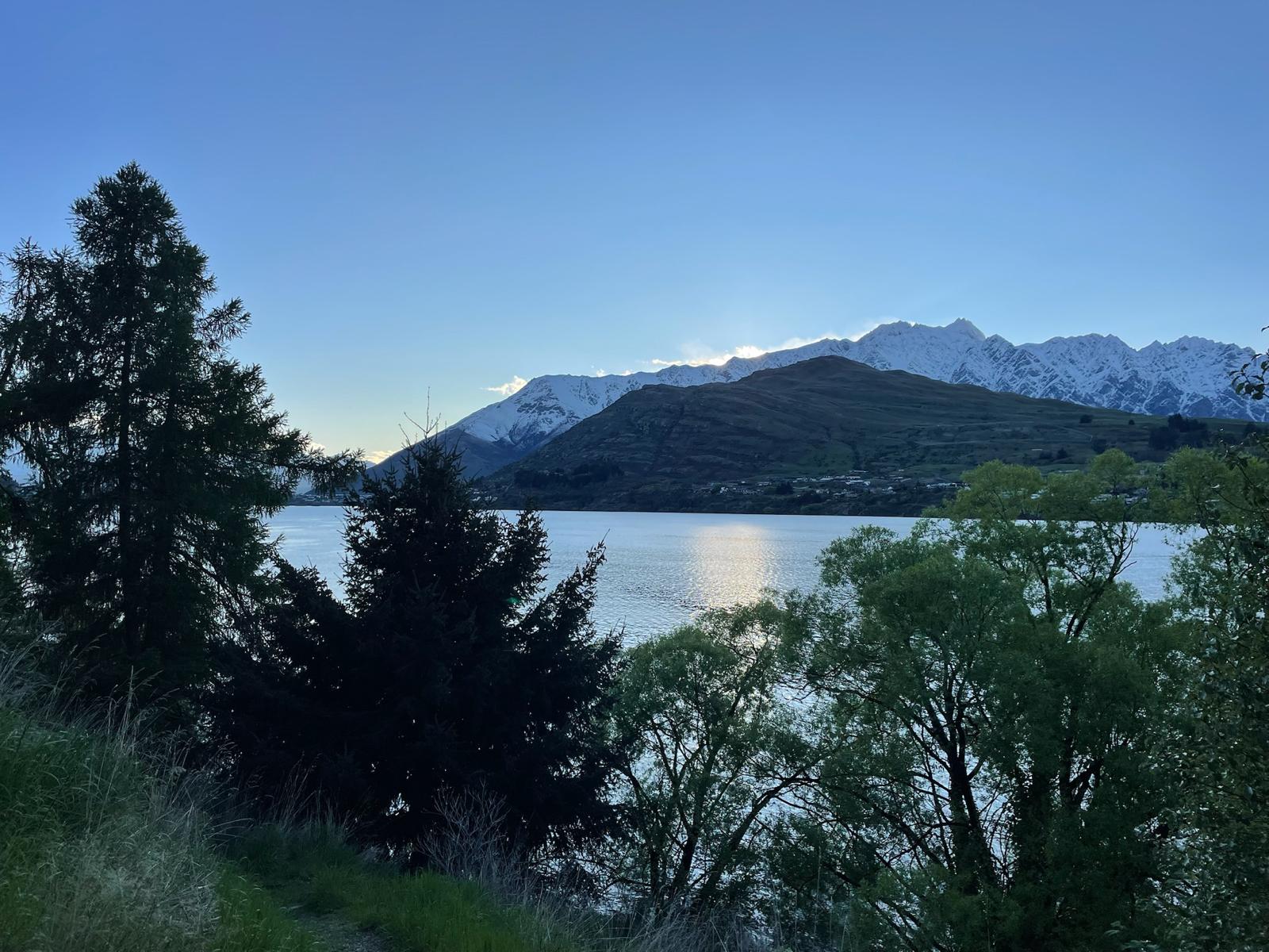
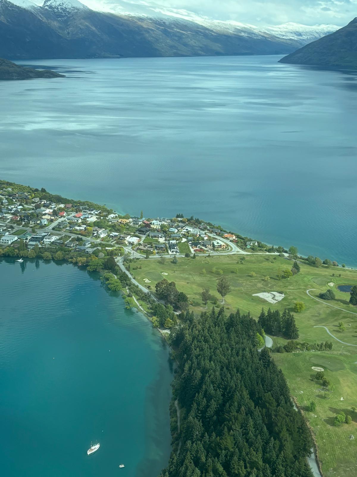
Queenstown sits on the shore of Lake Wakatipu at 310 metres, surrounded by the Remarkables range to the southeast and the Coronet Peak range to the north. The town is small, walkable in 20 minutes, and built around the combination of outdoor activity and a dense café and bar scene.
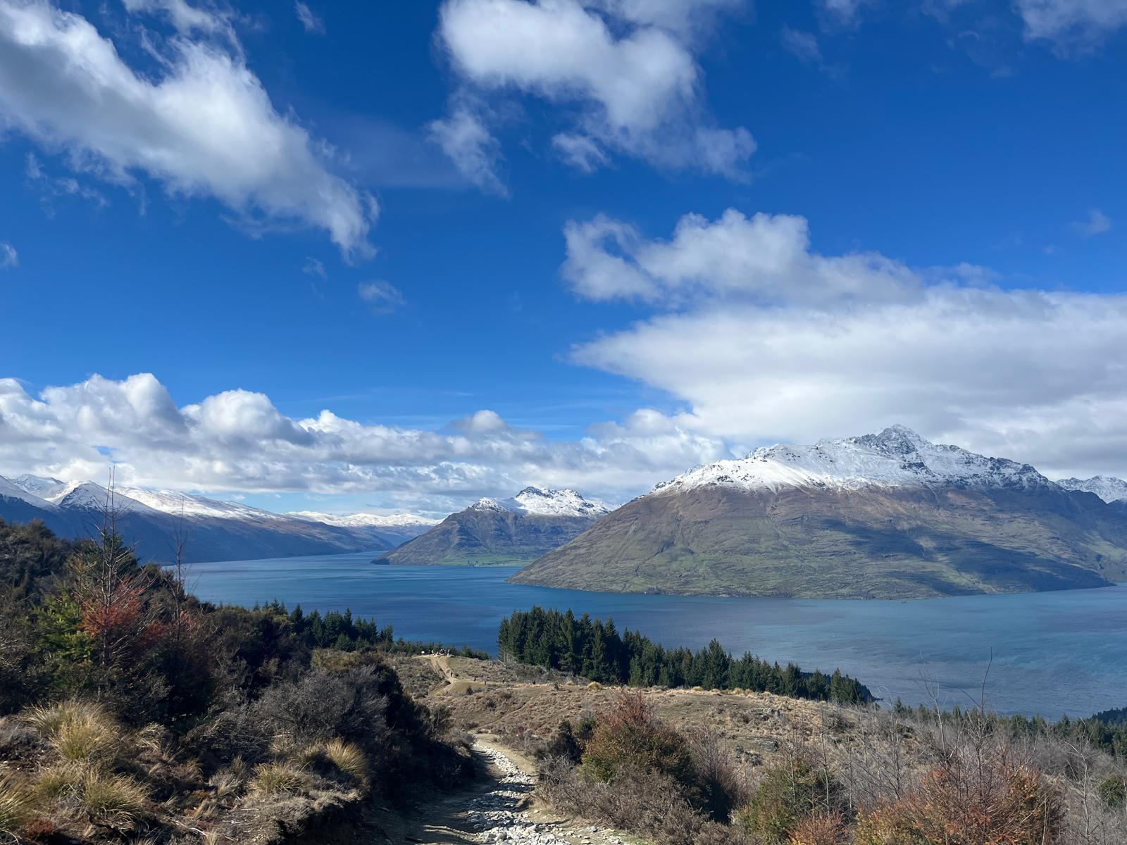
The gondola: The Skyline gondola runs from Brecon Street up to the Bob's Peak station at 446 metres above the town. Return ticket approximately NZD 45. From the top, the views take in the full lake, the Remarkables, Cecil Peak and Walter Peak across the water. The Luge (wheeled toboggan tracks on the hillside) is available from the same station and is better fun than it sounds.
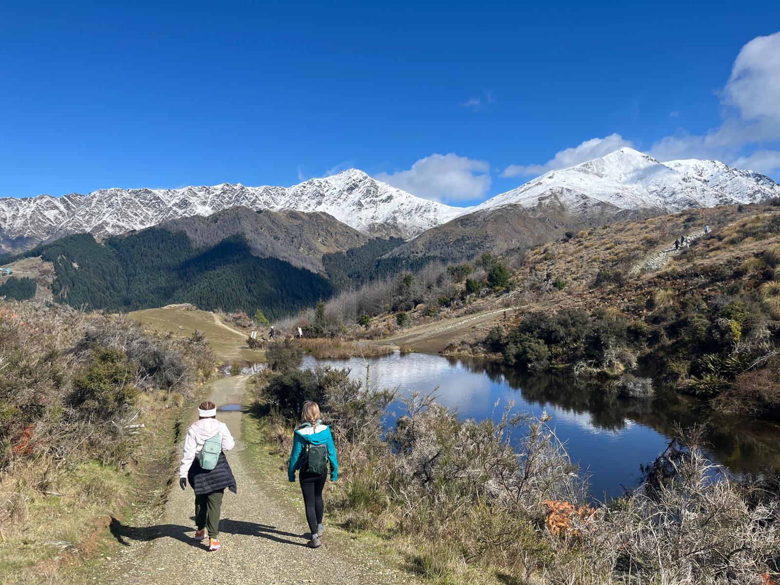
Day hike options: Queenstown Hill (two hours return from the town centre, steady climb through pine forest to a 906-metre summit) is the most accessible ridgeline walk and gives a complete view over the lake and town. Ben Lomond (six hours return, 1,748 metres, a serious alpine hike above the treeline with loose scree near the summit) is the full-day option for confident hikers. Both start from near the gondola base station.
Milford Sound: The itinerary allocates one full day to Fiordland. The logistics are significant and need to be understood before booking.
Milford Sound is 290 km from Queenstown by road, a four-hour drive one way on SH6 through Te Anau and then the spectacular Milford Road through Fiordland National Park. The Milford Road is one of the most scenic drives in New Zealand and involves the Homer Tunnel, a one-lane tunnel through the mountain that requires waiting for the lights. The full road trip from Queenstown and back takes around eight hours of driving plus two hours for the boat cruise, making it a very long day.
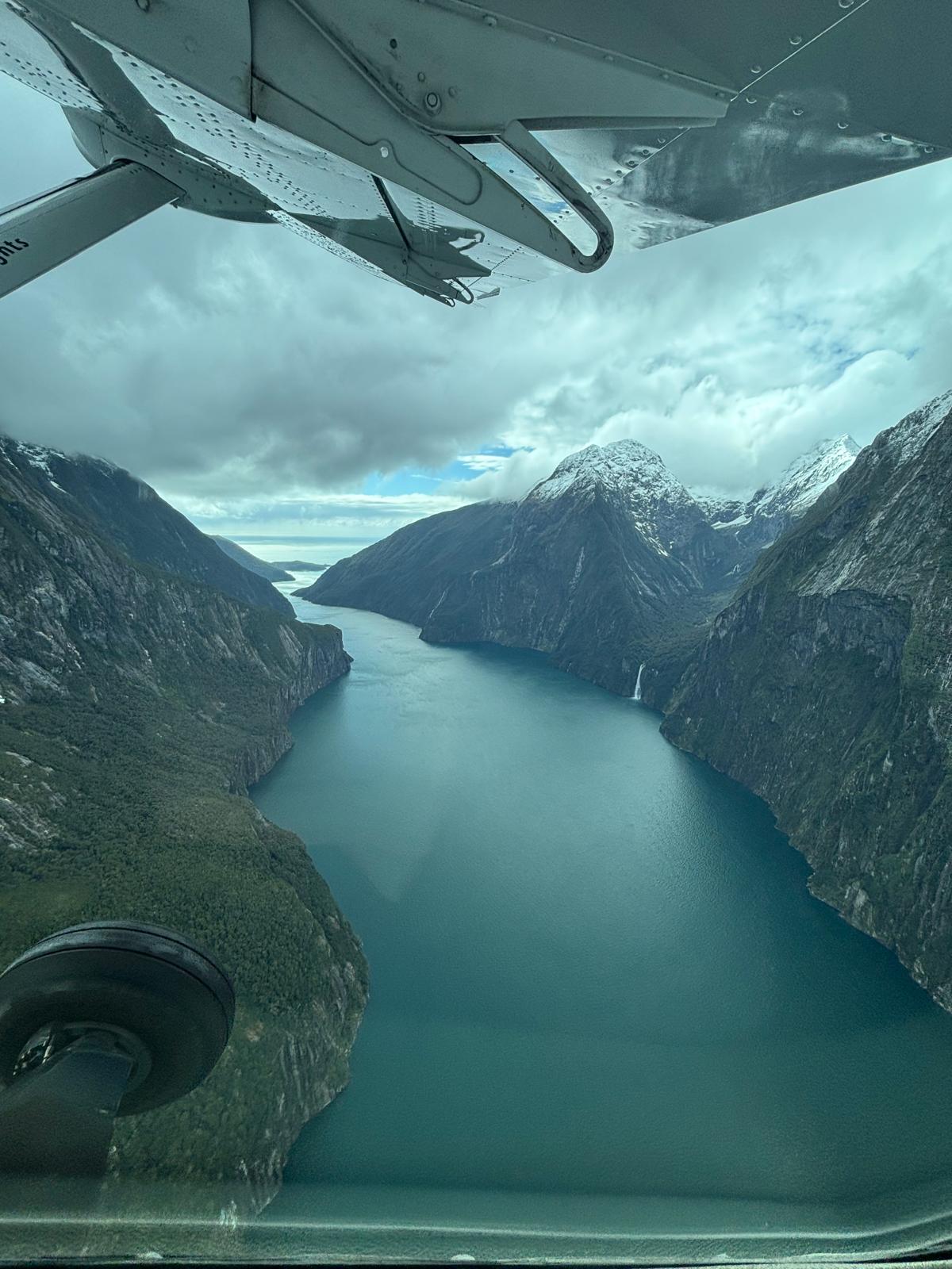
Tours depart from Queenstown at 6:30 am to 7:30 am. The most useful operators for a day trip are Altitude Tours (small group, maximum 15 passengers in a Mercedes van, two-hour nature cruise included, guided stops en route) and Real Journeys (larger coaches, reliable, several daily departures). Book at least a week ahead in peak season (December to February); the best tours sell out. A scenic flight return from Milford instead of driving back (fly-cruise-fly option) saves four hours of driving and gives aerial views of the Southern Alps and the fiords; it costs significantly more but transforms the day.
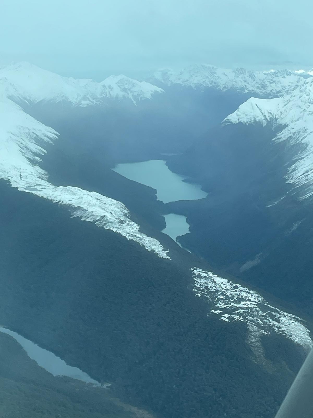
The boat cruise itself runs approximately two hours from the Milford Sound Visitor Terminal. Mitre Peak (1,682 metres) rises directly from the water at the entrance to the fiord; Stirling Falls drops 151 metres from a hanging valley on the southern wall. Fur seals haul out on rocks along the southern shore and are visible on every cruise. Fiordland crested penguins are occasionally spotted in the water. Smaller boats get closer to the waterfalls and cliff faces; the spray from Stirling Falls on a still day can reach the open deck. Sandflies are vicious at the shoreline before boarding and after disembarking; bring repellent and apply it before you get out of the vehicle.
Weather at Milford: Milford Sound receives approximately 7,000 mm of rainfall per year, one of the wettest places in New Zealand. Rain creates hundreds of temporary waterfalls pouring off the cliff tops and the fiord is genuinely more dramatic in wet conditions than on a clear day. Do not let a rainy forecast put you off the trip; some of the most spectacular Milford visits happen in heavy rain.
Te Anau glowworm caves: The itinerary notes these were closed during the source trip. The Te Anau Glowworm Caves are run by Real Journeys and require a boat trip across the lake followed by a guided cave tour; tickets must be booked in advance. Check current availability and booking status at realjourney.co.nz before finalising plans, as availability is limited.
Day 8: Flight to Auckland
Queenstown Airport (ZQN) is 7 km east of the town centre. Domestic flights to Auckland operate multiple times daily on Air New Zealand and Jetstar; the flight takes approximately 1.5 hours. Book this domestic leg when you book the international flight, not as an afterthought; peak summer dates between Queenstown and Auckland fill early.
Auckland's airport (AKL) is at Mangere, 21 km south of the city centre. The SkyBus runs from international and domestic terminals to the CBD (approximately 45 minutes, NZD 18 to 20 one way) and is reliable. Taxis and Uber are available but the SkyBus is the most efficient option for most arrivals.
Mount Eden (Maungawhau) is the highest volcanic cone in Auckland at 196 metres, 4 km from the city centre. The walk to the summit takes 15 minutes from the road and the view takes in the full 360-degree volcanic field: 53 cones in total within the Auckland region, the central business district to the north, the Manukau Harbour to the south and the Waitematā Harbour to the east. The summit is a sacred site for Māori; walking into the crater bowl at the top is not permitted.
Ponsonby for dinner: the strip of Ponsonby Road is Auckland's most concentrated food and bar precinct, running northwest from the city centre through a Victorian streetscape. Walk it from the Grey Lynn end south toward the city; the density of good restaurants and bars is higher than anywhere in New Zealand.
Day 9: Waiheke Island
Ferries run from the Fullers360 terminal at the Auckland Ferry Building (Quay Street, downtown) to Matiatia Wharf on Waiheke Island. The crossing takes 35 to 40 minutes and runs frequently throughout the day; the first departure is around 6 am and the last return from Waiheke is around midnight. Return fare approximately NZD 44 for adults. Buy tickets at the terminal, online or through the Fullers360 app; the app is the most convenient option and shows live departure times. The ferry terminal is five minutes' walk from the main Auckland waterfront and directly adjacent to the Viaduct Harbour.
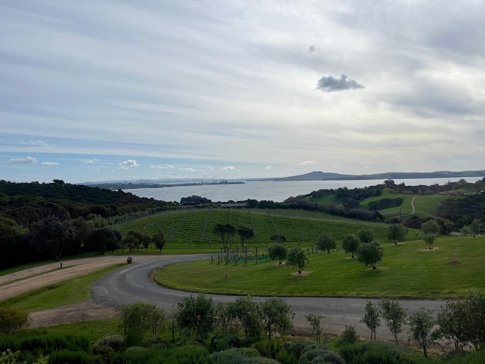
Waiheke is 92 square kilometres and is most efficiently explored by renting a bicycle (available near Matiatia Wharf), hiring a scooter, using the island bus network (route maps at the wharf), or joining a winery tour that handles transport between estates. The island has 30-plus wineries; the main varieties are Bordeaux-style reds (Cabernet Sauvignon, Merlot, Malbec blends), Syrah and Rosé. The established names are Stonyridge (the most prestigious, famous for Larose, often sold out), Man O'War (larger estate on the eastern end, excellent Valhalla Chardonnay), Cable Bay (restaurant, sea views, reliably good), Mudbrick (the most tourist-friendly, panoramic views, the place to watch the sunset over the Hauraki Gulf). Tastings at most estates run NZD 10 to 20 and are often refundable against a purchase.
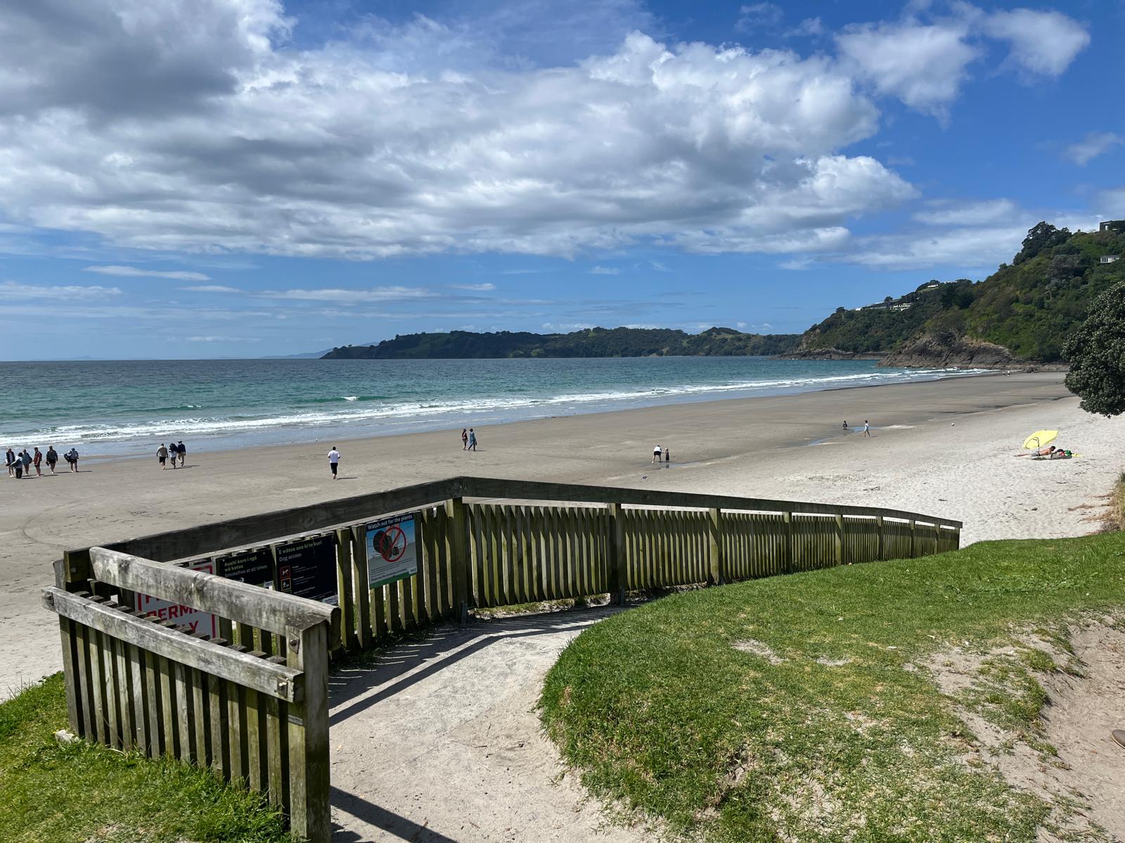
Onetangi Beach is the longest and most swimmable beach on the island, roughly 20 minutes from the wharf by bus or 40 minutes by bicycle. The water is calm and safe; the beach faces north into the Hauraki Gulf.
Practical note: Waiheke gets very busy on summer weekends (December to February). Going on a weekday gives you the wineries and beaches with a fraction of the people. Ferries back to Auckland fill up on weekend evenings; book your return trip if you are visiting on a Saturday.
Days 10 and 11: Rotorua and Lake Taupo
Getting there: The drive from Auckland to Rotorua is 230 km, approximately three hours on SH1 south and SH5 east. Rotorua sits 280 metres above sea level in the volcanic heart of the North Island; the sulphur smell is detectable from several kilometres out and is continuous throughout the city. This is not unpleasant once you adjust; it is simply the smell of Rotorua.
Wai-O-Tapu Thermal Wonderland is 27 km south of Rotorua and is the most visually dramatic of the geothermal sites: the Champagne Pool (57°C, bright orange from arsenic and antimony deposits), the Artist's Palette (acid-coloured silica terrace), and Lady Knox Geyser (erupts daily at 10:15 am, induced by a surfactant poured into the vent). Entry approximately NZD 46 for adults. Allow two hours.
Te Puia is 3 km from the Rotorua city centre and combines Māori cultural experiences with geothermal activity including Pōhutu Geyser, New Zealand's largest, which erupts up to 30 metres several times daily. The evening cultural performances (hāngi dinner and Māori concert) run most nights and provide the most complete introduction to Māori performing arts available in Rotorua; book ahead as they fill. The New Zealand Māori Arts and Crafts Institute is also on-site with working carvers and weavers. Entry from approximately NZD 49 adults, evening packages from NZD 120 including dinner.
Rotorua hot pools: Te Ara Ahu Geothermal Spa (previously Polynesian Spa) on the lakefront is the best-established facility; mineral pools ranging from 36 to 42°C with lake views, from NZD 35 for the main pool complex.
Lake Taupo and Huka Falls: Drive south from Rotorua on SH5 approximately 80 km to Taupo town (about one hour). The lake is the caldera of a supervolcanic eruption approximately 26,500 years ago; at 616 square kilometres it is the largest lake in New Zealand and one of the largest in the Southern Hemisphere. The water is clear and cold.
Huka Falls is 3 km north of Taupo town. The Waikato River narrows from about 100 metres wide to 15 metres, and the full volume of New Zealand's longest river is forced through that gap at 220,000 litres per second, producing a standing wall of brilliant blue and white water that drops 8 metres into a pool below. It is one of the more powerful natural spectacles in the country and is a 10-minute walk from the car park. No entry fee.
Tongariro Alpine Crossing is New Zealand's most famous single day hike and sits 120 km south of Taupo; at 19.4 km it requires a full day (six to eight hours) and is typically done as a separate itinerary addition. The itinerary as currently designed does not include it, but it is the strongest single-day hiking experience on the North Island.
Days 12 to 14: Auckland and departure
Three nights in Auckland is generous; use the time to explore the parts of the city not covered on Days 8 and 9.
The Auckland Harbour: The Viaduct Harbour and Wynyard Quarter are the rebuilt waterfront precincts west of the Ferry Building. The America's Cup racing infrastructure left the Viaduct with excellent waterfront infrastructure; the area has good restaurants, a seafood market and covered architecture worth walking through. The Maritime Museum (NZD 20) is on the Viaduct and covers New Zealand's sailing history comprehensively.
Devonport: A 12-minute ferry from the Ferry Building to the suburb of Devonport on the North Shore gives you Victorian streetscapes, a beach and the climb to Mount Victoria (Takarunga, 87 metres), the volcanic cone with the best view of the CBD skyline and harbour bridges from the North Shore side. The climb takes 10 minutes and is entirely worth it. Devonport has good cafés and a quiet weekend market.
Karekare and Piha: The west coast black sand beaches are 45 minutes' drive west of the city through the Waitākere Ranges. Piha is the most famous (featured in the film The Piano and home to a strong surf community) and Karekare is smaller and wilder. Both have dangerous surf, strong rips, and no lifeguards outside summer patrol hours. Swim between the flags where they exist; if there are no flags, be cautious. The drive through the Waitākere Ranges on its own is worthwhile.
Auckland International Airport departure: Allow two to three hours before long-haul flights. The airport at Mangere handles all international departures from AKL. SkyBus from the CBD takes 45 to 60 minutes depending on time of day; Uber is faster but traffic into the airport in the afternoon can add 20 minutes. Book the earliest reasonable departure time; Auckland traffic during peak hours (7:30 to 9 am, 4:30 to 6:30 pm) significantly affects airport journey times.
.png)