image of popular travel destinations

USA

A sweeping multi state journey across the American South and West from jazz soaked New Orleans, to California's Pacific sunsets Highway One.

Cross country odyssey from Southern soul to Western wilderness.

The itinerary weaves through fifteen states and mixes big cities with tiny desert towns, national parks with university bars, and some of the most dramatic terrains on the continent. You begin in the Deep South where New Orleans wraps you in music, Creole food, and riverfront energy. Texas comes next with Austin’s craft beer, barbecue temples, and live bands that spill into the street from Sixth Avenue.

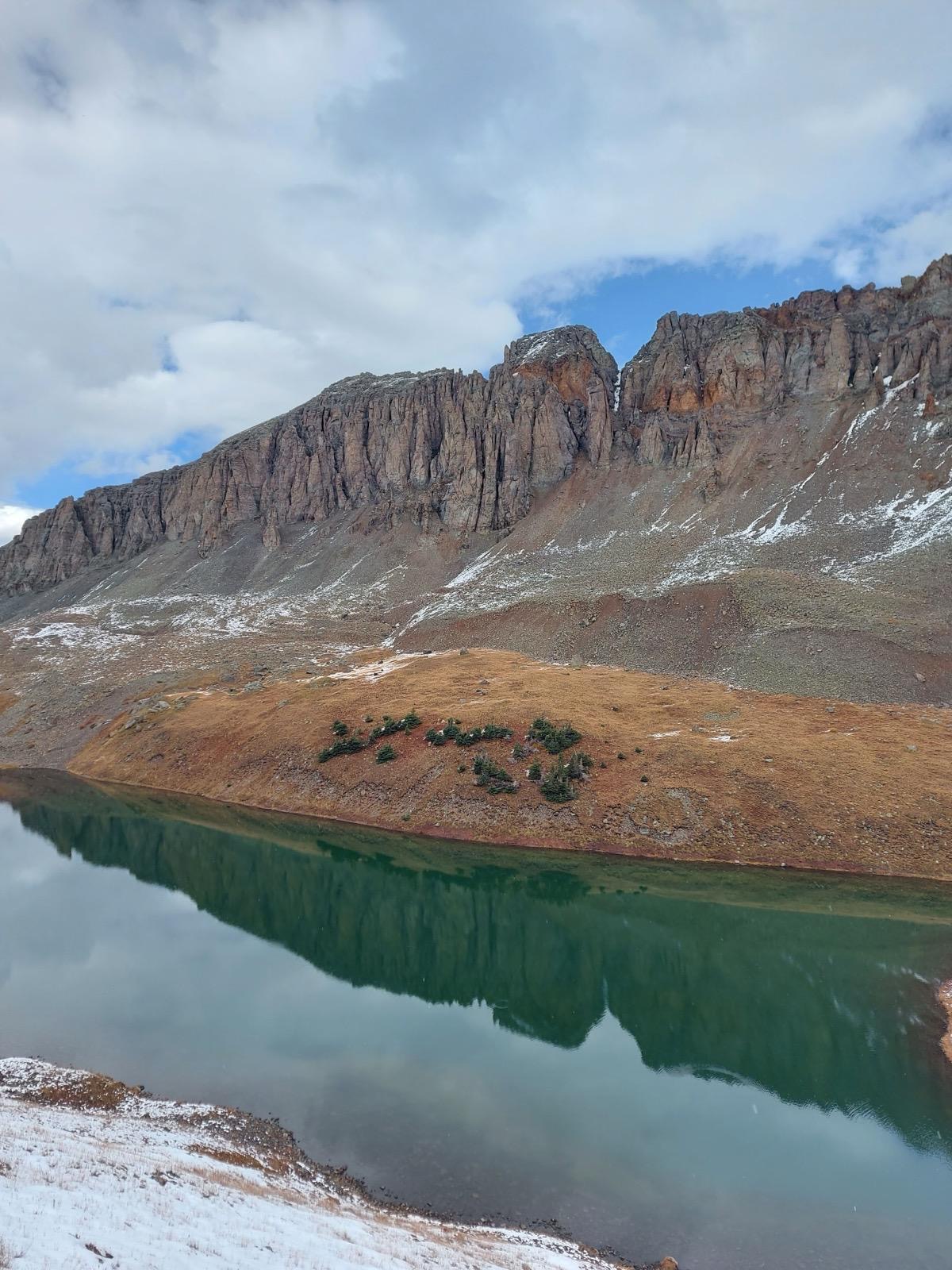
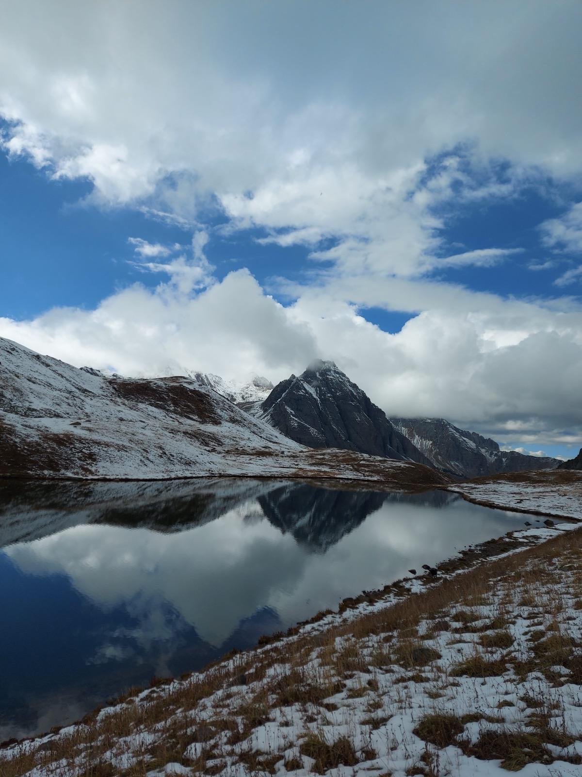
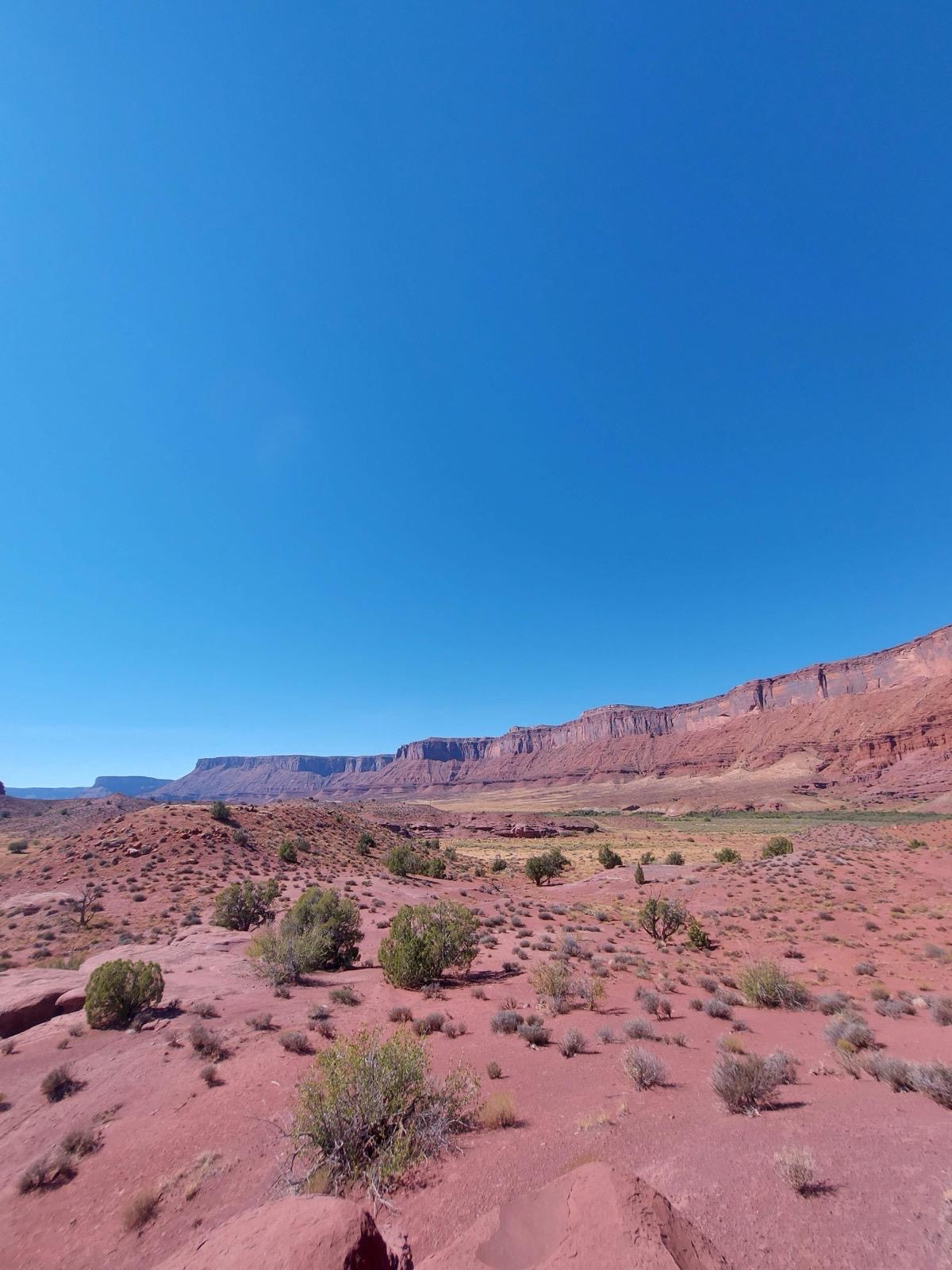
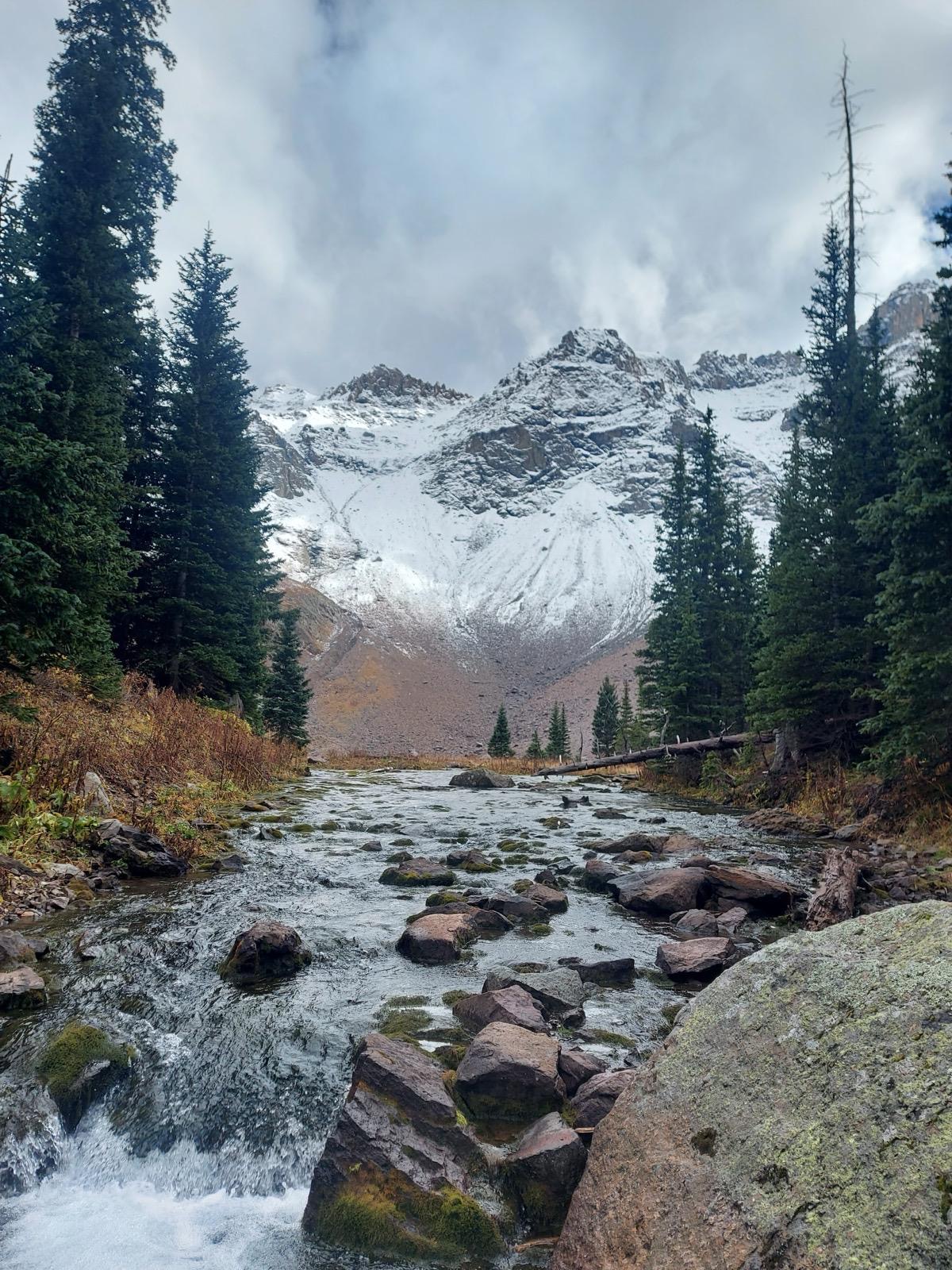
The central section of the trip is the long climb north and west across plains, mesas, and mountain foothills. The route bites into Colorado’s outdoors culture around Boulder before pushing into the Rockies where pine forests, alpine lakes, and high passes create a colder more rugged energy. From here the landscape widens until Utah’s desert takes over. Moab is your gateway to Arches National Park, Canyonlands, and sandstone landscapes shaped by water and wind.

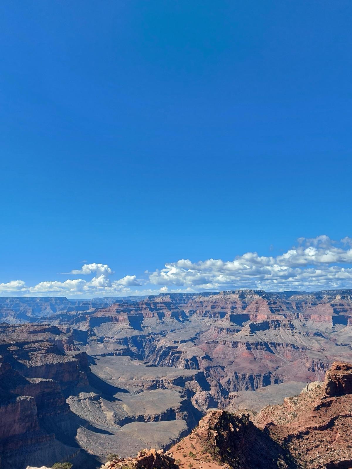
Arizona offers the Grand Canyon, a place that always feels bigger in reality than it does in photos, followed by the Hoover Dam, Lake Mead, and the neon storm of Las Vegas. The desert intensifies in Death Valley where the roads run flat. California then opens slowly: the hills of Los Angeles, the boardwalks of Santa Monica and Venice, the calm beaches of San Diego, and the artistic sprawl of northern LA.

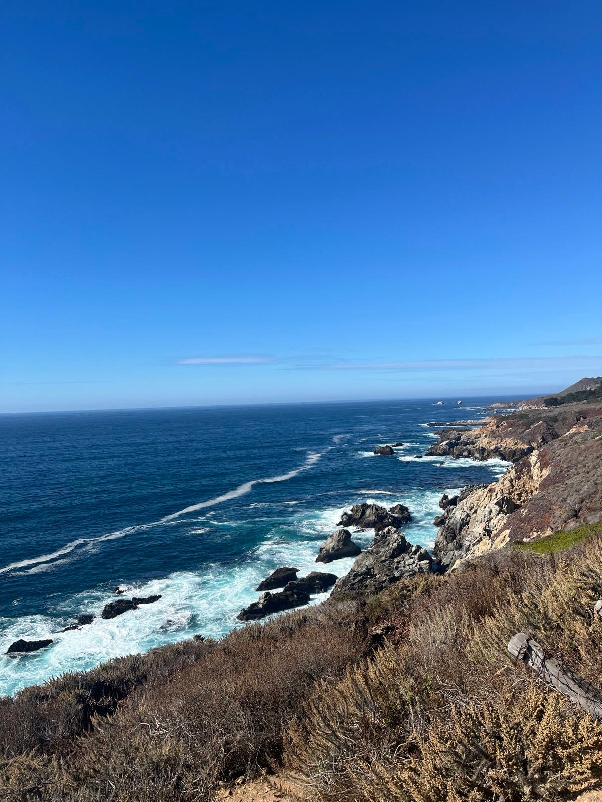
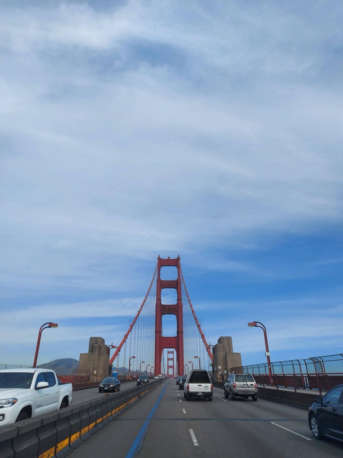
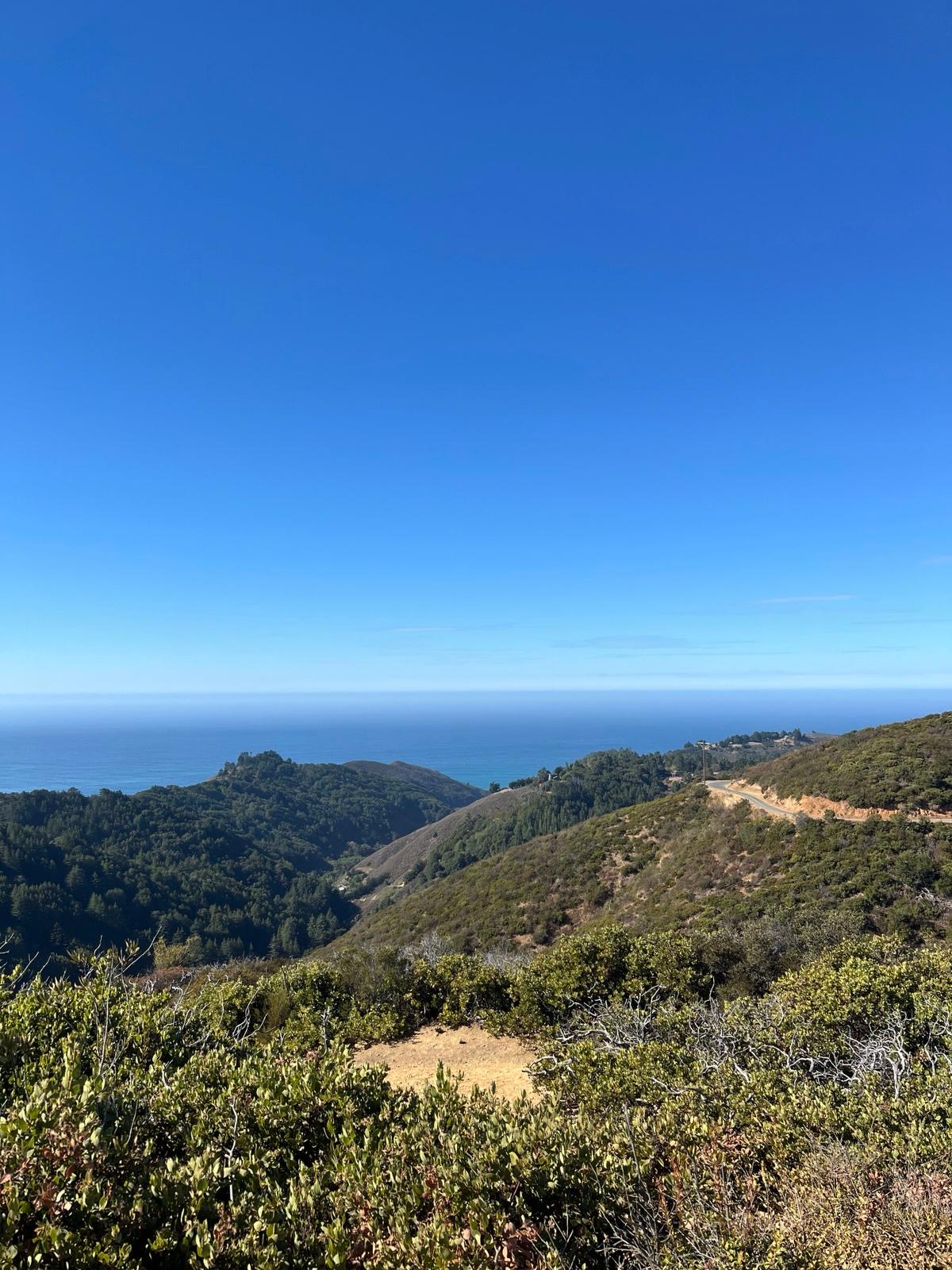
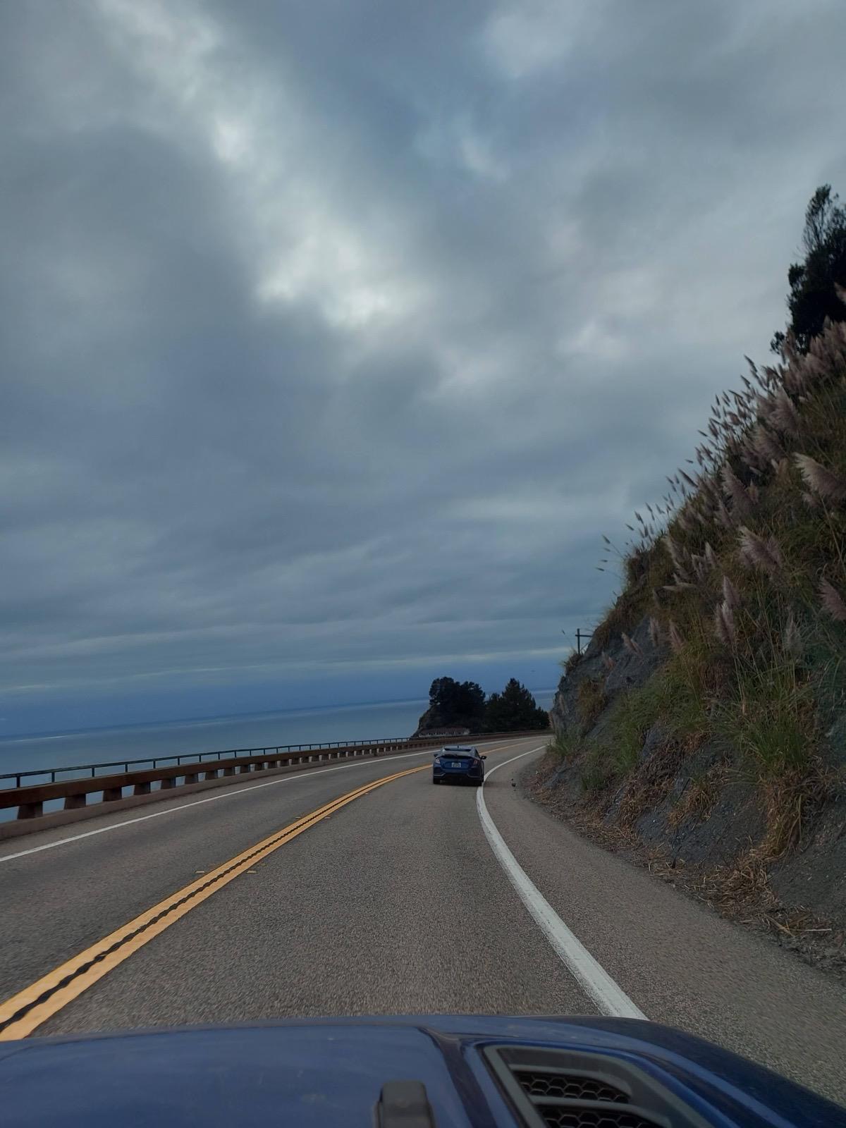
Highway One links this southern coast to the cliffs of Big Sur, passing lighthouses, elephant seal colonies, and cloud covered forests. The route finishes in San Francisco, a city perched on hills over the ocean with cable cars, Victorian houses, and long views across the bay.

Highlights

image of vibrant dining space (for a mexican restaurant)

Southwest Deserts and Canyons

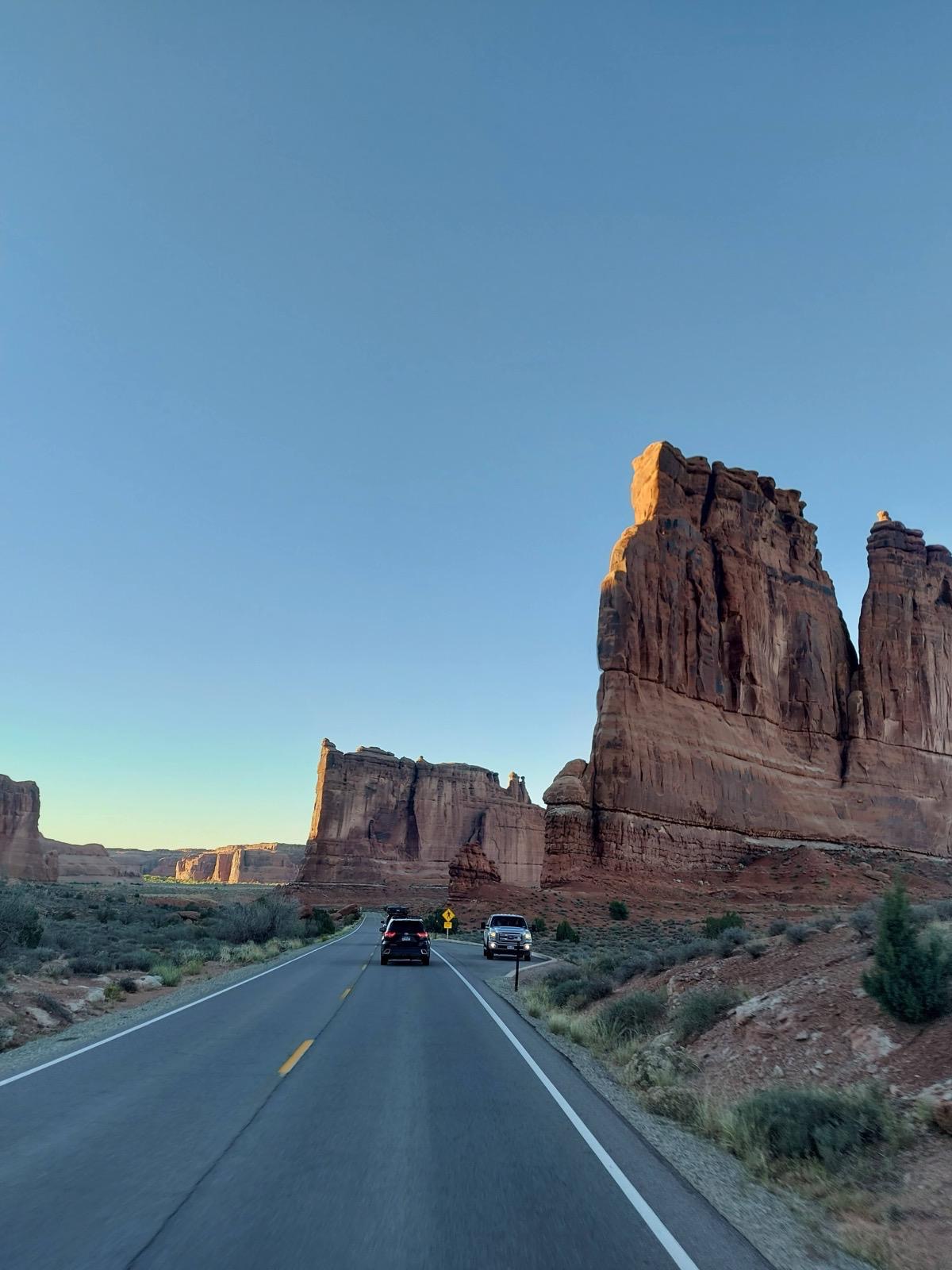
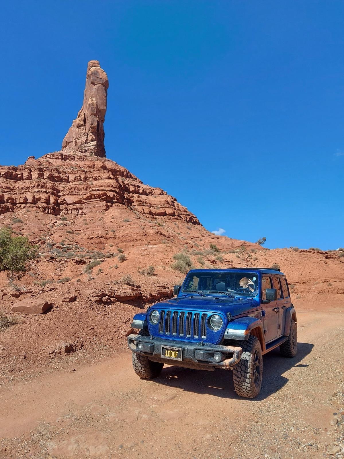
Long drives through Oklahoma, New Mexico, and Colorado open into the cinematic landscapes of Utah. Red rock walls, sweeping viewpoints, and national parks like Arches and Canyonlands create some of the most iconic scenery in the country.

image of a guided tour group

The South: New Orleans & Austin

From jazz clubs and neon drenched Bourbon Street to Austin’s barbecue pits, dive bars, and live music on Sixth Street, this early stretch is built around rhythm and energy.
image of a local tour guide (for a travel agency)

California Sierra Nevada Parks

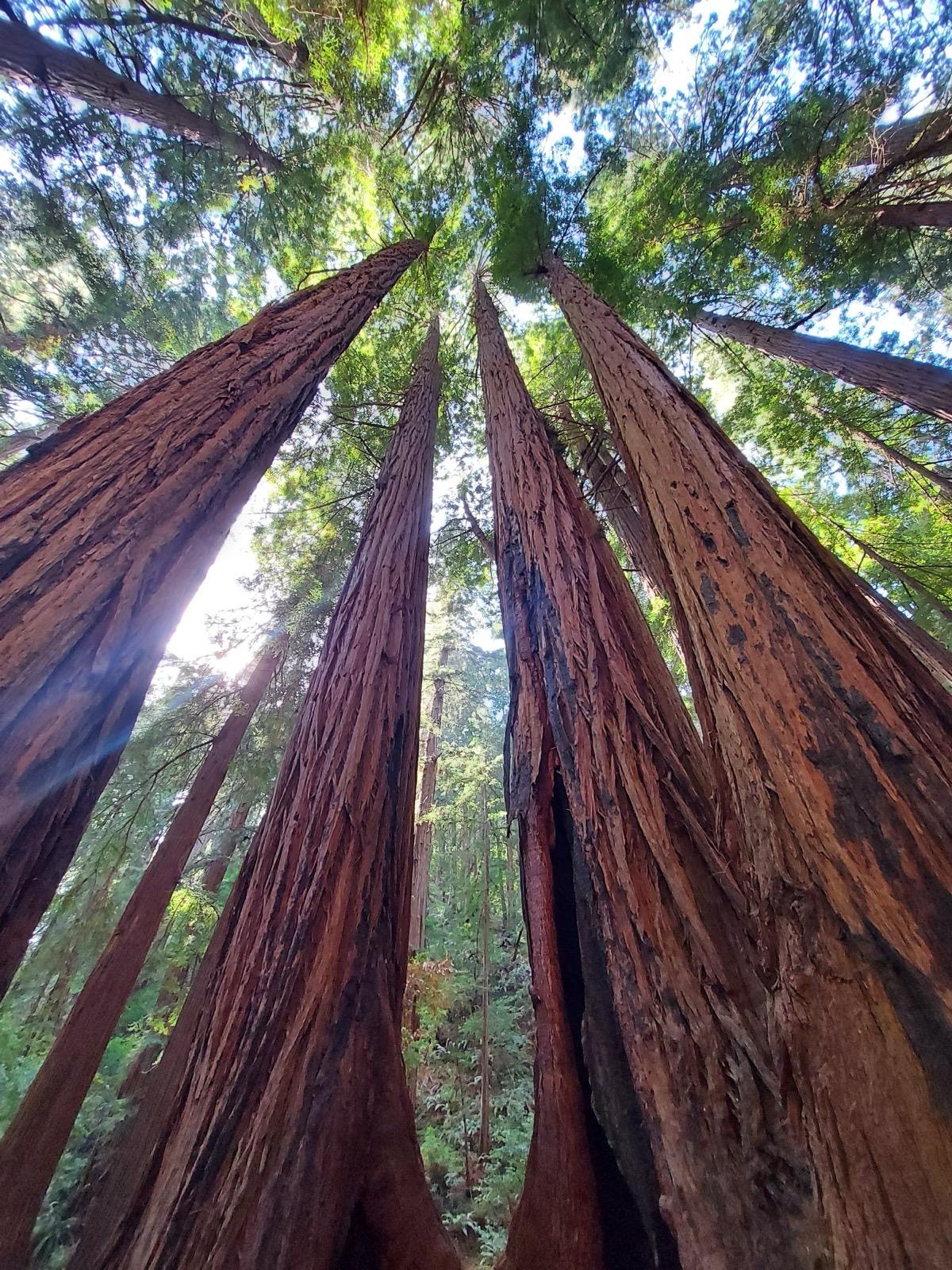
Back-to-back parks: Sequoia for the oldest and largest trees on Earth, Yosemite for the granite valley, the waterfalls and the views from Glacier Point that stop most people in their tracks.
image of vibrant dining space (for a mexican restaurant)

Southwest Deserts and Canyons

Long drives through Oklahoma, New Mexico, and Colorado open into the cinematic landscapes of Utah. Red rock walls, sweeping viewpoints, and national parks like Arches and Canyonlands create some of the most iconic scenery in the country.

image of a guided tour group

The South: New Orleans & Austin

From jazz clubs and neon drenched Bourbon Street to Austin’s barbecue pits, dive bars, and live music on Sixth Street, this early stretch is built around rhythm and energy.
image of a local tour guide (for a travel agency)

California Sierra Nevada Parks

Back-to-back parks: Sequoia for the oldest and largest trees on Earth, Yosemite for the granite valley, the waterfalls and the views from Glacier Point that stop most people in their tracks.

Journey itinerary

Itinerary overview
Detailed breakdown follows

Day 1: Fly into Atlanta / drive to New Orleans, French Quarter evening

Day 2: New Orleans / Jackson Square, Café du Monde, Frenchmen Street and Preservation Hall

Day 3: Drive west to Austin / Atchafalaya Basin, Houston and arrival on South Congress

Day 4: Austin / Barton Springs, South Congress, barbecue and Sixth Street

Day 5: Drive north through the Texas Panhandle / Amarillo and Cadillac Ranch

Day 6: Drive into Colorado / New Mexico mesas and arrival in Boulder

Day 7: Boulder Flatirons hike / drive west through Ouray and the Million Dollar Highway to Ridgway

Day 8: Cross into Utah / red rock canyon descent and arrival in Moab

Day 9: Arches National Park / Delicate Arch, Balanced Rock and Canyonlands Island in the Sky

Day 10: Grand Canyon South Rim / Rim Trail, canyon descent and sunset from Hopi Point

Day 11: Hoover Dam / Las Vegas Strip arrival and evening

Day 12: Death Valley crossing / Zabriskie Point, Badwater Basin and drive to Joshua Tree

Day 13: Joshua Tree National Park / boulder fields, Keys View and drive to Los Angeles

Day 14: Pacific Coast Highway north / Malibu, Santa Barbara, Hearst Castle and Big Sur to Carmel

Day 15: Carmel and Monterey / Bay Aquarium, Santa Cruz and drive to San Francisco

Day 16: Drive to Sequoia National Park / General Sherman Tree and giant forest

Day 17: Drive to Yosemite National Park / valley floor, El Capitan and Glacier Point

Day 18: Final Yosemite morning / drive back to San Francisco and city farewell

Day-by-day itinerary
Day 1: Arrival in Atlanta and drive to New Orleans

Hartsfield-Jackson Atlanta International Airport (ATL) is one of the busiest airports in the world. Pick up your rental car from the consolidated rental car facility, connected to the terminal by the ATM train; follow the signs inside the terminal. Allow 30 to 45 minutes from gate to being in the car including baggage. Fill the tank before leaving the airport area; Atlanta petrol is cheap and the station density drops on the Interstate.

The drive from Atlanta to New Orleans on I-20 West and then I-59 South takes approximately five to six hours, covering 470 miles through the Georgia and Alabama forests and into Mississippi. It is a long first day and almost entirely highway driving. Leave the airport by midday if you want to arrive in New Orleans with evening energy. The transition from Georgia hill country into the flat bayous of Louisiana happens somewhere around Slidell; the air gets heavier, the vegetation changes and the Mississippi River appears through the elevated highway as you approach the city.

New Orleans parking is expensive and maddening. Most French Quarter hotels have their own garages; use them. Once checked in, the French Quarter, Faubourg Marigny and the Garden District are all walkable. You will not need the car again until you leave for Austin. Find the nearest spot and leave it.

Go straight to Frenchmen Street rather than Bourbon Street on the first night. Frenchmen Street, one block east of the French Quarter boundary, is where the local jazz scene lives: the Spotted Cat Music Club and the Maple Leaf Bar both have live music from early evening, no cover charge on most nights, and a crowd that is less tourist-facing than anything on Bourbon Street. The Spotted Cat in particular is a long room with the band at one end, mismatched chairs everywhere and seriously good jazz most nights of the week. Bourbon Street has the neon and the energy but the music is often more spectacle than substance; Frenchmen is the real thing.

Day 1: Arrival in Atlanta and drive to New Orleans

Hartsfield-Jackson Atlanta International Airport (ATL) is one of the busiest airports in the world. Pick up your rental car from the consolidated rental car facility, connected to the terminal by the ATM train; follow the signs inside the terminal. Allow 30 to 45 minutes from gate to being in the car including baggage. Fill the tank before leaving the airport area; Atlanta petrol is cheap and the station density drops on the Interstate.

The drive from Atlanta to New Orleans on I-20 West and then I-59 South takes approximately five to six hours, covering 470 miles through the Georgia and Alabama forests and into Mississippi. It is a long first day and almost entirely highway driving. Leave the airport by midday if you want to arrive in New Orleans with evening energy. The transition from Georgia hill country into the flat bayous of Louisiana happens somewhere around Slidell; the air gets heavier, the vegetation changes and the Mississippi River appears through the elevated highway as you approach the city.

New Orleans parking is expensive and maddening. Most French Quarter hotels have their own garages; use them. Once checked in, the French Quarter, Faubourg Marigny and the Garden District are all walkable. You will not need the car again until you leave for Austin. Find the nearest spot and leave it.

Go straight to Frenchmen Street rather than Bourbon Street on the first night. Frenchmen Street, one block east of the French Quarter boundary, is where the local jazz scene lives: the Spotted Cat Music Club and the Maple Leaf Bar both have live music from early evening, no cover charge on most nights, and a crowd that is less tourist-facing than anything on Bourbon Street. The Spotted Cat in particular is a long room with the band at one end, mismatched chairs everywhere and seriously good jazz most nights of the week. Bourbon Street has the neon and the energy but the music is often more spectacle than substance; Frenchmen is the real thing.

Button Text

Day 2: New Orleans full day

New Orleans works best on foot. The French Quarter grid is compact: about ten blocks by seven, running from Canal Street to Esplanade Avenue and from the riverfront back to Rampart Street. Everything worth visiting is within this rectangle or just outside it.

Start at Jackson Square in the morning. The square is the historic centre of the French Quarter: the cathedral to the north, the Pontalba Buildings on the flanks, street artists and tarot readers along the iron fence, the Mississippi River immediately south. St Louis Cathedral (free entry) is one of the oldest cathedrals in continuous operation in North America, built in its current form in 1850. The interior is modest by European standards but the atmosphere is genuine; people come to pray as much as to look.

Walk along the riverfront to the Café du Monde. This is not optional. Beignets are deep-fried dough squares covered in an unreasonable quantity of powdered sugar, served in threes, accompanied by a café au lait with chicory. Everything you are wearing will be covered in sugar. Order two rounds and accept this. Open 24 hours, queues throughout the day; go early morning or late evening for the shortest wait.

The French Market runs several blocks north of Café du Monde along the river. The covered section nearest the café sells local food, Creole spices, hot sauce, and coffee. The section further along becomes increasingly souvenir-focused; the food end is the interesting end.

Royal Street is the more elegant alternative to Bourbon Street for daytime walking: antique shops, art galleries, wrought-iron balconies and architecture that has changed little since the early 19th century. The Historic New Orleans Collection at 533 Royal Street is worth an hour for its rotating exhibitions on Louisiana history and culture.

For food: Arnaud's on Bienville Street is the grand dame of New Orleans Creole dining, open since 1918 and in the same family for four generations. The Friday lunch service was recently restored after a multi-year absence. Shrimp Arnaud in rémoulade sauce and oysters Bienville are the signature dishes. The French 75 Bar adjacent to the restaurant is one of the best cocktail bars in the city. If Arnaud's is beyond budget, Café du Monde handles breakfast, and the po'boy shops on Decatur Street handle lunch: Parkway Bakery is the benchmark, though it sits further north in Mid-City; in the Quarter, Johnny's Po-Boys is reliable and cheap.

For dinner before the evening music: Dooky Chase's in Tremé (one mile from the Quarter) is a New Orleans institution serving Creole cuisine in a dining room lined with African American art, associated with the civil rights movement in Louisiana. Book ahead.

Evening music: Preservation Hall on St Peter Street has played traditional New Orleans jazz since 1961. The venue is tiny, deliberately sparse and very loud; shows run 45 to 60 minutes at a time with a new band for each set. Entry is $20 to $35 depending on the seat type. Arrive at least 30 minutes before the show starts; queues form outside. No drinks are served inside. This is the most historically significant live music experience in the city.

After Preservation Hall: Fritzel's European Jazz Pub on Bourbon Street is the oldest traditional jazz club still operating on the strip, in a building from 1831. No cover charge; buy a drink per set and tip the musicians directly. Maison Bourbon across the street has good swing and Dixieland jazz with a view straight onto Bourbon from the open frontage.

Day 3: Drive west to Austin

Leave New Orleans early. The drive to Austin on I-10 West and then US-290 West covers approximately 500 miles and takes seven to eight hours without significant stops. This is a proper travel day.

The first major feature is the Atchafalaya Basin Bridge: a pair of parallel bridges extending 18.2 miles over the Atchafalaya River and its surrounding swamp, the longest bridge over water in the United States. The swamp is visible on either side as an unbroken canopy of cypress trees with water between them; herons and egrets are common. Take the bridge slowly enough to look.

The drive through southwest Louisiana into Texas is flat, industrial in places and unremarkable until you cross the Sabine River into Texas and the landscape opens into the pine forests of East Texas. By Beaumont and Houston the sky is vast. Houston itself is one of the most sprawling cities in the United States; if you are driving through rather than stopping, budget two hours for the metro area at peak times. If arriving in late afternoon, consider stopping to eat in Houston rather than crawling through it hungry.

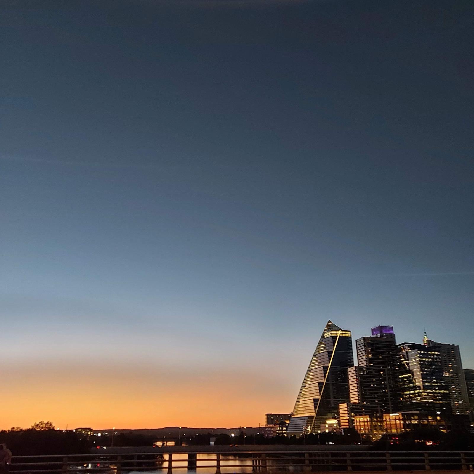
Austin is 165 miles from Houston on I-10 West and TX-71. Arrive in the early evening. The South Congress (SoCo) strip is the entry point: the two miles of Congress Avenue running south from the river through independent boutiques, cafés, restaurants and food truck parks is where Austin's "Keep Austin Weird" character is most visible from a car. Find parking near Barton Springs Road (free street parking before 6 pm on weekdays) and walk north.

For dinner: Franklin Barbecue on East 11th Street is the most famous barbecue restaurant in America. It opens at 11 am and sells out by early afternoon most days; the queue starts before 8 am. If you arrive in the evening, Franklin is not an option for tonight. La Barbecue on East Cesar Chavez is the nearest rival without the same queue dynamics. For the first evening without planning barbecue in advance: the Rainey Street bar district (converted bungalows turned bars along a residential street, ten minutes from downtown) is the most atmospheric evening area in Austin and has good casual food at multiple spots.

Day 4: Austin

South Congress in the morning: start at Jo's Coffee for the Austin institution of a breakfast taco and coffee, then walk north. The SoCo food truck parks are concentrated along the strip; the Trailer Park at 1203 South Congress has multiple trucks operating from breakfast. Home Slice Pizza on 415 South Congress is the New York-style pizza benchmark. Torchy's Tacos, which started as a trailer on this strip, is now a chain but the original SoCo location is still excellent.

Barton Springs Pool in Zilker Park is the defining outdoor Austin experience: a spring-fed natural swimming pool 270 metres long, maintained at a constant 20°C year-round and open daily. Entry is around $5. Arrive before 10 am in summer; it gets crowded. The pool sits inside a wider park system; kayaking and paddleboarding on Lady Bird Lake (really the Colorado River, dammed) is available from multiple rental points along the south bank, from around $20 per hour.

The University of Texas campus (free to walk, 40-minute circuit) occupies the centre of the city north of the Capitol. The Texas State Capitol building itself, on Congress Avenue, is free to enter and tour; the dome is the largest in square footage of any US state capitol. Worth 30 minutes.

For the afternoon: East Austin, east of I-35, is the more interesting food and bar neighbourhood for locals. The concentration of chef-driven restaurants, wine bars and craft cocktail spots on East 6th Street and the surrounding blocks has shifted here from downtown. Launderette on Holly Street is the landmark for a sit-down lunch: rotisserie chicken and pasta in a converted laundromat, one of the city's most consistently praised restaurants.

Sixth Street in the evening: the six-block stretch of East 6th between Congress and I-35 is the main student-era bar strip. It is loud, crowded on weekends and relentlessly enthusiastic. The more interesting bar scene is on Rainey Street or around the Banger's Sausage House on Red River Street, which has live music, 100-plus beers and an outdoor patio that suits the Austin climate well.

Day 5: North through the Panhandle

This is a genuine drive day: approximately 650 miles from Austin to Amarillo on US-83 North or I-27 North, taking eight to nine hours. The landscape changes from Central Texas scrubland to the flat, treeless horizon of the High Plains. There is not much out here and that is part of the point. Lubbock is the main city midpoint; stop for fuel and food. Palo Duro Canyon State Park, 25 miles south of Amarillo, is a 160-metre-deep canyon carved by the Prairie Dog Town Fork of the Red River, dramatic and almost entirely unknown outside Texas. If you arrive with daylight, it is worth an hour.

Amarillo itself is a working Panhandle city with no particular charm. The Cadillac Ranch installation (ten Cadillacs half-buried nose-first in a field alongside I-40, covered in spray paint by visitors, free, always open) is worth a 20-minute stop and genuinely strange. Eat at the Golden Light Cantina, the oldest restaurant in Amarillo, for green chile burgers and cheap beer in a honky-tonk atmosphere. Sleep here or push on another hour into New Mexico.

Day 6: Into Colorado and Boulder

Cross into New Mexico on I-40 West; the landscape becomes increasingly arid and the mesas begin appearing. Albuquerque is the main city on this leg; worth stopping for lunch but not an overnight unless time allows. The drive north on I-25 toward Colorado through the New Mexico desert, watching the snow-capped peaks of the Sangre de Cristo range on the right, is one of the quieter beautiful stretches of the trip.

Boulder sits at the base of the Flatirons, a series of tilted sandstone slabs forming the eastern edge of the Rocky Mountains. The city is a university town at 1,655 metres, noticeably cooler and thinner on air than the plains below. Pearl Street Mall is the pedestrian main street: an outdoor promenade of restaurants, bookshops, bars and street performers between 11th and 15th. Walk it in the early evening.

For dinner on Pearl Street: Corrida is the rooftop Spanish restaurant at the top end of the strip with Front Range mountain views, Spanish small plates and an excellent wine list; popular, book ahead. Frasca Food and Wine on Walnut Street is the city's landmark Italian fine dining if the budget allows. More casually: Mountain Sun Pub and Brewery on 14th Street has 25 rotating house-made beers and solid pub food in a laid-back Colorado atmosphere.

Day 7: Mountains westward

Chautauqua Park sits at the base of the Flatirons immediately west of Boulder, a 20-minute walk from Pearl Street. The Flatirons Vista Trail and the First Flatiron approach both start from the Chautauqua trailhead; the Royal Arch Trail (3.7 miles round trip, strenuous, through dramatic cliff formations) is the best moderate hike with the most dramatic payoff. Carry water; the altitude makes dehydration faster than you expect.

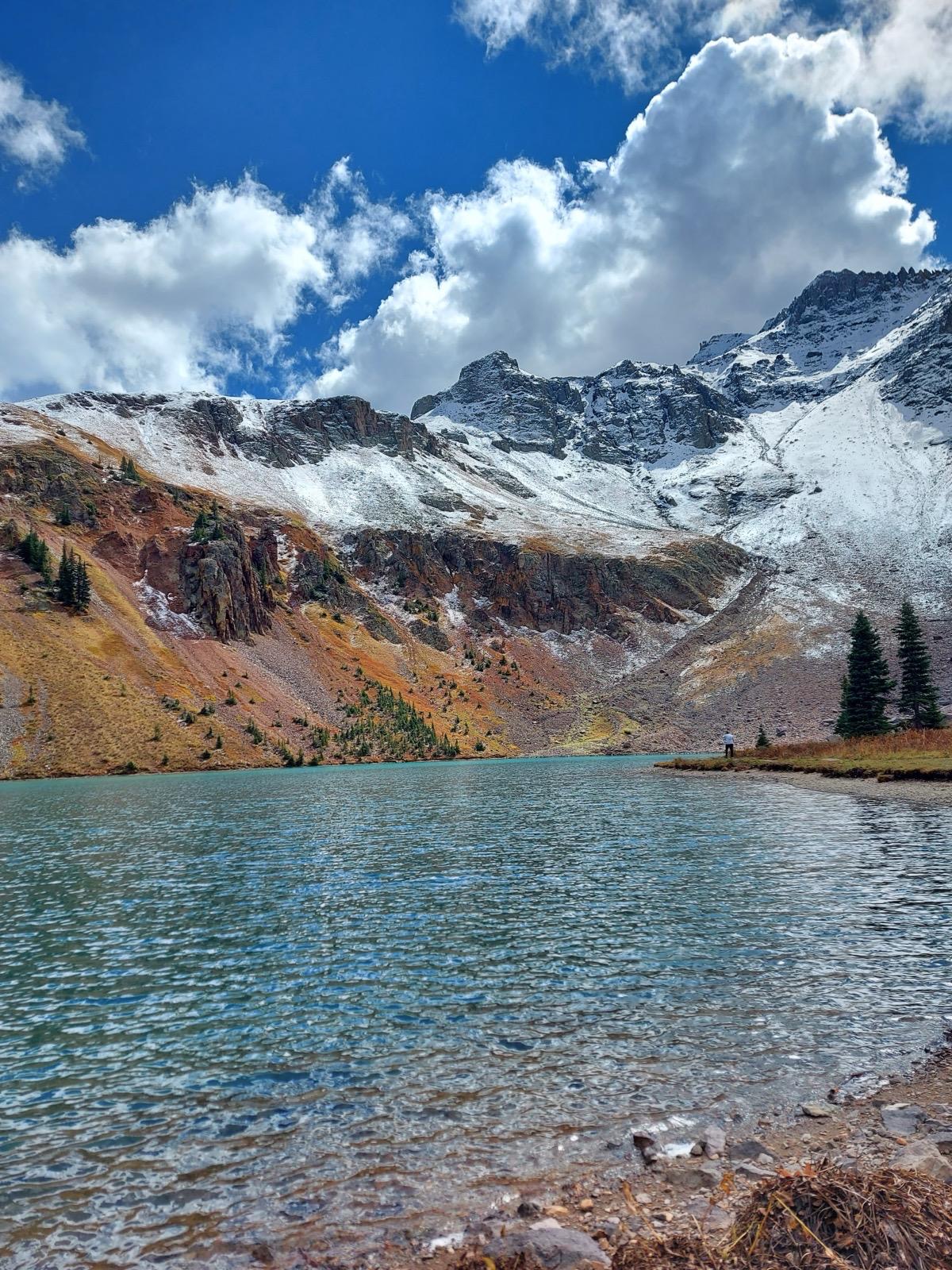
Drive west on US-36 and CO-72 into the mountains, gaining 1,500 metres over the first hour of driving through canyon systems and conifer forest. The route south toward Ridgway passes through Ouray, a Victorian mining town in a bowl of 4,000-metre peaks, accessible only through a series of tight mountain switchbacks on US-550. This is the Million Dollar Highway section: 25 miles of mountain road through Ouray to Silverton with no guardrails on the cliff-edge sections and views down into thousand-metre valleys. It is stunning and requires full attention; do not attempt it in winter without snow chains and experience.

Ridgway is a small mountain town on the Uncompahgre Plateau, 12 miles north of Ouray. It is quiet, photogenic and has a good independent restaurant scene for its size. True Grit Café on Liddell Drive (Ridgway was the filming location for the 1969 John Wayne version) is the obvious dinner choice; the steaks are very good.

Day 8: Enter Utah and Moab

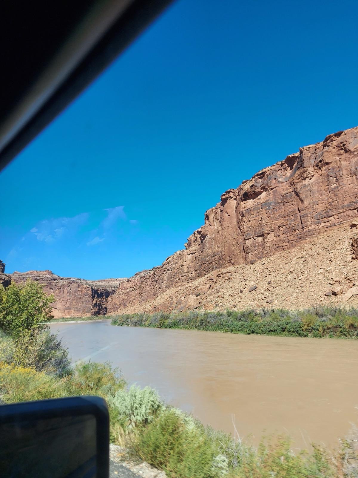
Drive north from Ridgway on US-550 through Montrose, then east on US-50 and south on US-191 into Moab. The transition from Colorado's green mountain landscape into Utah's red rock desert happens suddenly and dramatically; the La Sal Mountains rise in the east while the road descends through increasingly red canyon walls.

Moab sits in a valley at 1,200 metres beside the Colorado River. It is a small town that functions almost entirely as a base for the surrounding national parks. Arches National Park entrance is 5 miles north; Canyonlands is 32 miles south. Check into accommodation and drive to the park entrance for an evening light reconnaissance if you arrive before sunset. The canyon walls turn from red to gold to deep purple as the light drops.

Timed entry for Arches in 2026: As of February 2026, Arches National Park has lifted the timed entry reservation requirement. Visitors may enter at any time during operating hours. However, early morning arrival is still strongly recommended: parking at major viewpoints fills up by 9 am in peak season and the desert heat by mid-morning makes hiking unpleasant. Check nps.gov/arch before your visit as this policy has changed multiple times and may revert.

Park entry: $35 per vehicle, valid for 7 days.

Day 9: Arches and Canyonlands

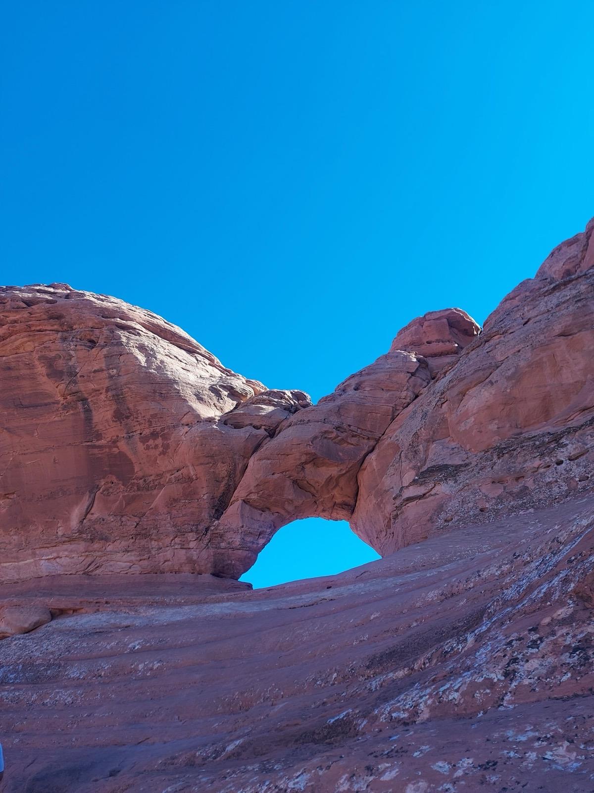
Arches: Enter at first light. The Balanced Rock pullout is 9 miles from the entrance and is the most immediately arresting stop; a 3,600-tonne boulder sits on an eroded pedestal with the Fiery Furnace fins visible behind it. Continue to the Windows Section: a cluster of arches including the North and South Windows and Turret Arch that can be walked in a 1.6-mile loop. These are the best arches for a close approach and the morning light comes from the east, which is ideal.

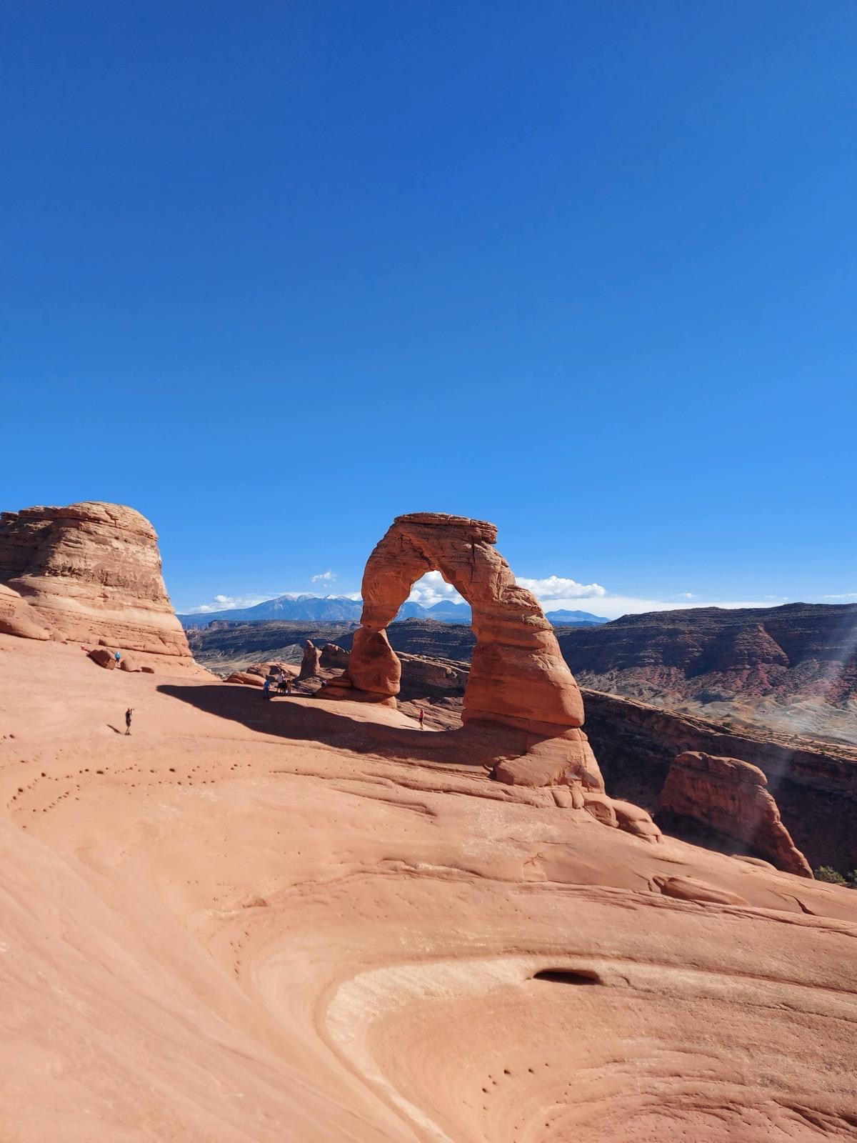
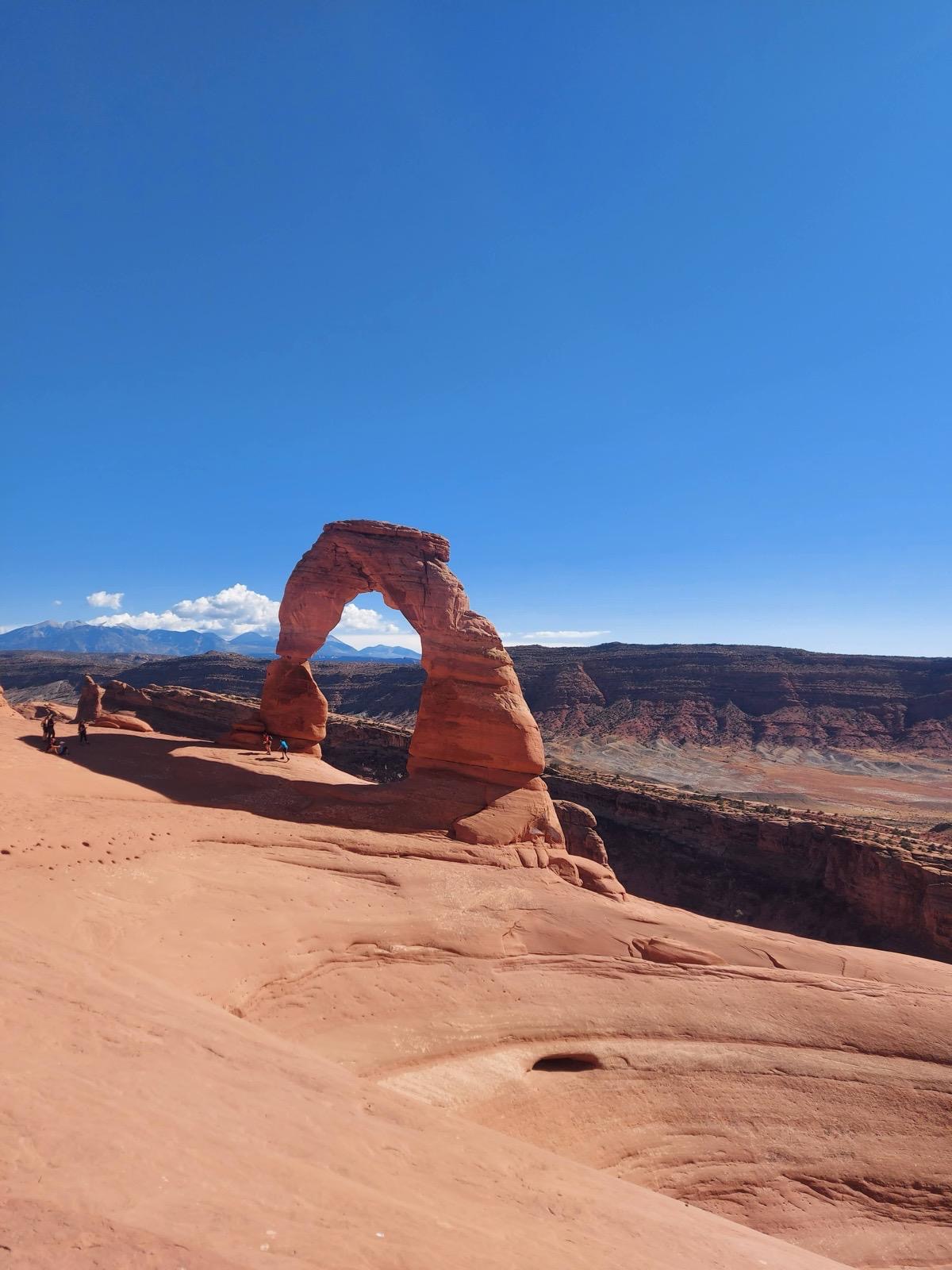
Delicate Arch requires the most effort and is the most worthwhile. The trail is 4.8 km round trip from the Wolfe Ranch trailhead, gaining 160 metres over slickrock with no shade. Take it at sunrise or the final two hours before sunset; never at midday in summer. From the trail end you round a canyon wall and the arch appears without warning above a natural amphitheatre, standing completely isolated with the La Sal Mountains behind it. The sunset light on the stone is the image. Allow 2.5 to 3 hours round trip.

Canyonlands Island in the Sky: Drive 32 miles south from Moab on US-191 and UT-313 to the Island in the Sky district. Mesa Arch is a 0.8-km round trip from the trailhead parking, easy, and one of the most photographed arches in Utah because it frames the canyon below at sunrise: the interior of the arch glows orange while the 600-metre cliffs drop into the Colorado and Green River confluence below. Arrive before dawn for the classic image. Grand View Point overlook at the southern tip of the mesa is the widest canyon panorama on this route: 360-degree views into the canyon system below from 1,800 metres. Stand there for ten minutes and let the scale register.

Day 10: Grand Canyon

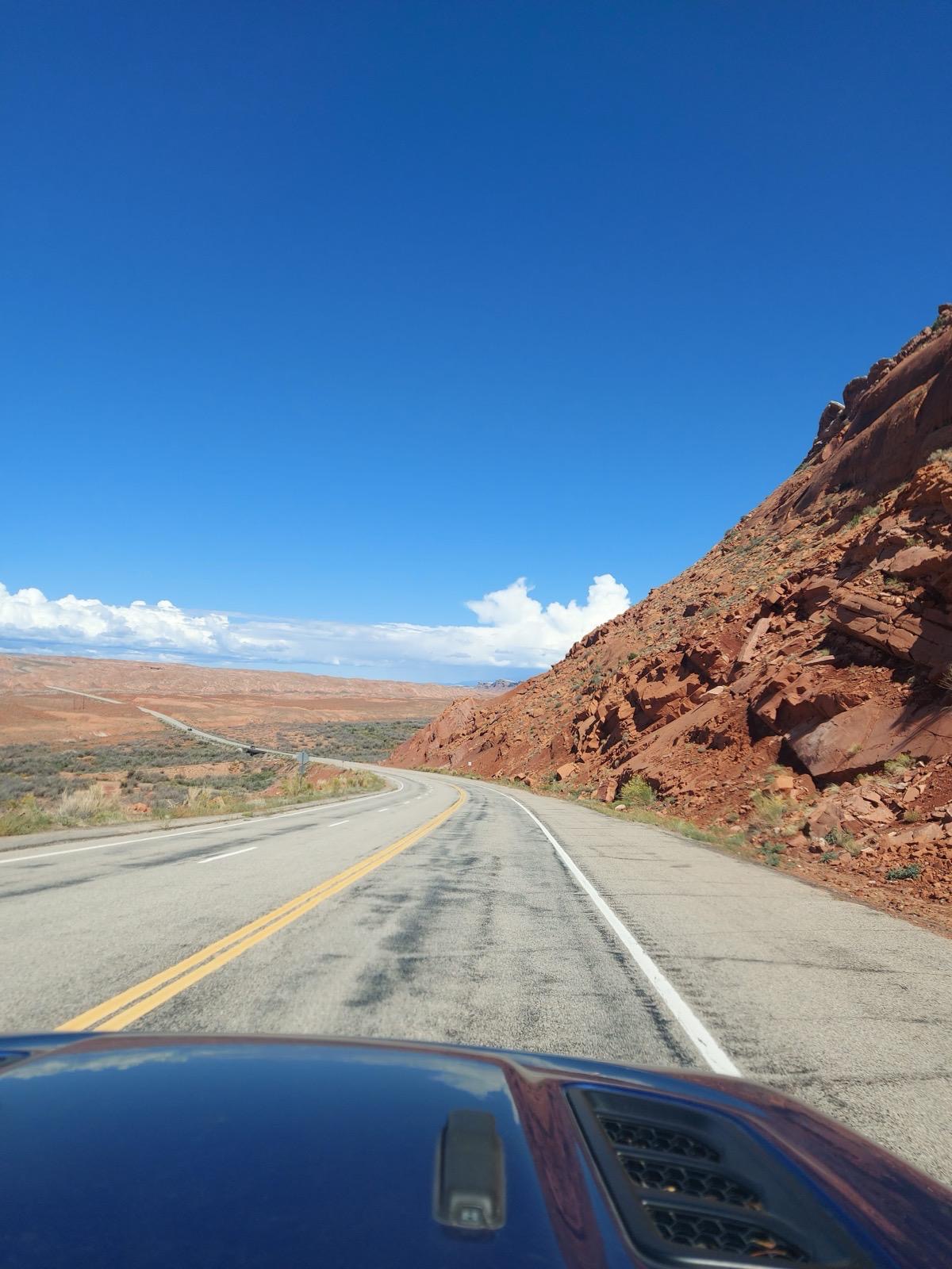
Drive south from Moab on US-191 through Monticello, then west on US-163 through Monument Valley (the John Ford western landscape of mesa and red desert, worth slowing down for even without stopping) and south through Navajo Nation land into Arizona. The road between Mexican Hat and Kayenta is some of the emptiest and most cinematic driving on the whole route.

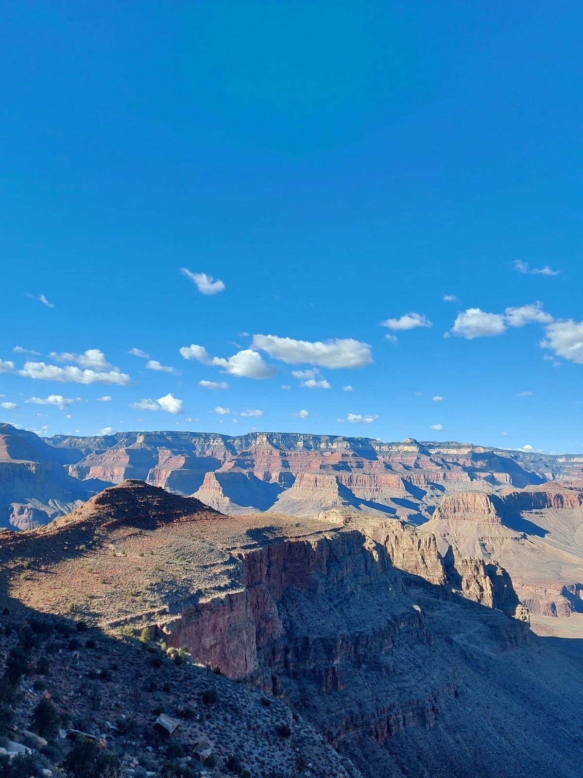
Turn south on US-89 and then west on AZ-64 toward the Grand Canyon South Rim. The approach through the Kaibab Plateau gives no indication of what is about to appear; the canyon is invisible until you step up to the rim and it opens below you in full scale. Allow this moment to work without rushing it. The canyon is 1,829 metres deep at its deepest point and 16 kilometres wide at the South Rim. Even with photographs in mind, the first view is always surprising.

The Rim Trail runs 21 km from Hermits Rest to South Kaibab Trailhead along the canyon edge; the sections between Mather Point and Yavapai Point (easy, 45 minutes) give the best panoramas for time spent. Mather Point is the most visited viewpoint and crowded by mid-morning; walk 10 minutes in either direction for significantly less company.

Descending into the canyon: The Bright Angel Trail descends from the South Rim and is the standard route for non-technical hiking. The National Park Service strongly advises against attempting to hike to the river and back in one day; the elevation change is 1,450 metres and the canyon floor temperature in summer can exceed 48°C. Day hikers are advised to turn back at Indian Garden (roughly halfway down), allowing four to six hours round trip. Carry a litre of water per hour minimum and carry salty snacks to replace electrolytes.

Sunset from the South Rim: Hopi Point (accessible by the free park shuttle) gives the widest western view and the best sunset angle.

Overnight at one of the lodges inside the park or in Tusayan (immediately south of the park entrance). Xanterra runs the park lodges; El Tovar Hotel on the rim is the most historic and the most expensive, but booking months ahead is required.

Day 11: Hoover Dam and Las Vegas

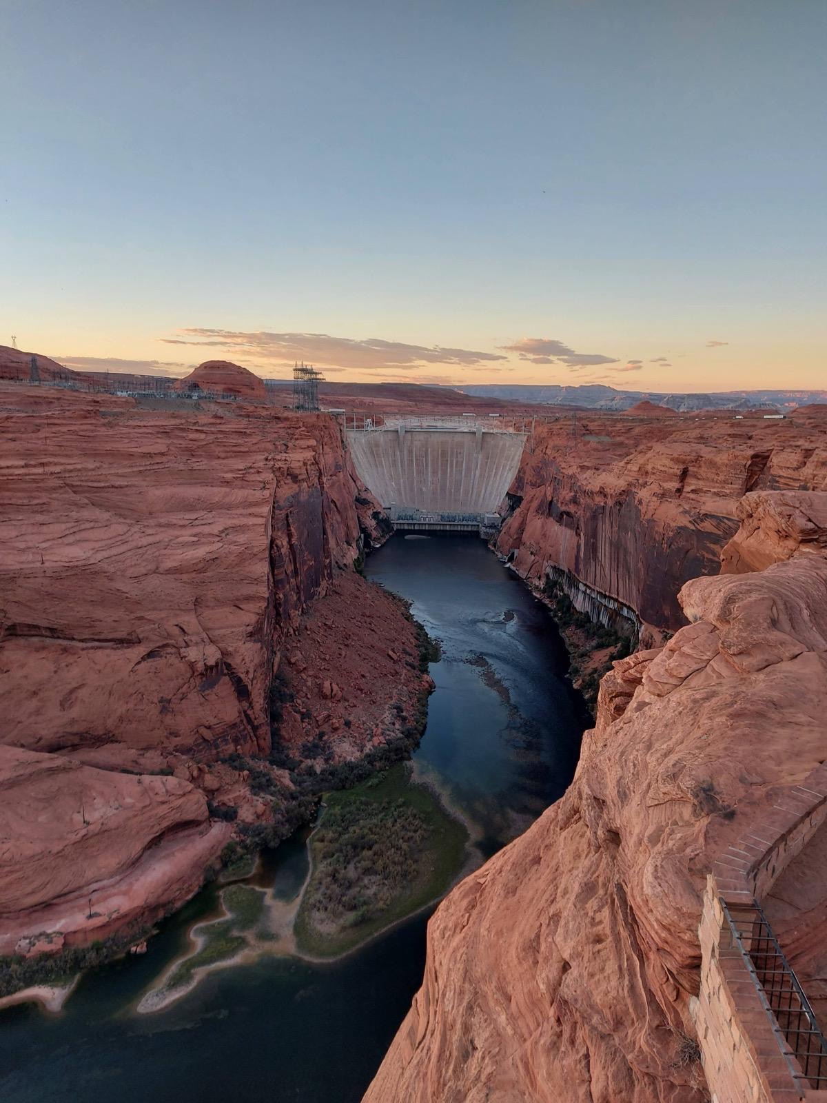
Drive west on I-40 and then north on US-93 toward Nevada. Hoover Dam is 30 miles south of Las Vegas on the Nevada-Arizona border. The dam was built between 1931 and 1936, employing 21,000 workers during the Depression, and at completion was the world's largest concrete structure and the largest hydroelectric power station. The observation deck on the dam crest is free; the guided tours into the dam's interior cost $15 to $30 and take 30 to 60 minutes. The view from the bypass bridge, opened in 2010, looks directly down at the dam face 220 metres below.

Las Vegas is 30 miles north. The city materialises from the desert floor: there is nothing, then there is everything. Drive straight to the Strip rather than downtown. Park at any of the major casinos (self-parking is free at most, including MGM Grand and Caesars Palace) and walk the length of the Strip from the Mandalay Bay at the south end to the Stratosphere at the north: approximately 4.5 miles, passing through the Bellagio fountain shows (free, every 15 to 30 minutes from 3 pm), the Venetian canal district (free to walk), the High Roller observation wheel (pay per ride) and the Fremont Street Experience if you continue to downtown.

The food scene in Las Vegas is more serious than its reputation suggests. Joel Robuchon at the MGM Grand is the most Michelin-starred restaurant in the city. For something less extravagant: Esther's Kitchen in Arts District (Italian American, very good, reserve ahead), Lotus of Siam on East Sahara (widely regarded as the best Thai restaurant in North America, family-run since 1999, the northern Thai dishes rather than the tourist-facing menu).

Day 12: Death Valley crossing

Leave Las Vegas early. Death Valley National Park is 130 miles west on I-15 and CA-127. Enter the park from the east through Shoshone; the descent into the valley floor takes you below sea level before you have quite registered it happening. The park fee is $35 per vehicle, valid for 7 days.

Furnace Creek at -54 metres below sea level is the administrative heart of the park: the visitor centre, the Borax museum and the only petrol station in the valley. Fill the tank here regardless of what the gauge says. The temperature in summer regularly exceeds 50°C; the park has recorded the highest reliably measured air temperature on Earth (56.7°C in 1913). June to August visits require starting all activity before 7 am and being inside or in the car by 10 am. Spring (March to May) is the ideal window, with wildflowers in good years and temperatures in the 20s and 30s.

Zabriskie Point is 5 miles east of Furnace Creek: a short walk to a viewpoint above eroded badlands in mustard and brown that glow at sunrise. Drive there before dawn if conditions allow. Badwater Basin is 17 miles south: the lowest point in North America at 85.5 metres below sea level, a vast expanse of sodium chloride salt flats that crack into hexagonal patterns in the heat. Walk out onto the salt flats for 10 minutes; it is disorienting in the best way.

Mesquite Flat Sand Dunes, 19 miles north of Furnace Creek, are accessible by a short walk from the roadside and are the most photogenic at sunrise or sunset.

Exit the park west over the Panamint Mountains on CA-190 and descend to Ridgecrest and then CA-14 South toward Mojave. The drive into Joshua Tree comes in the early evening.

Day 13: Joshua Tree

Joshua Tree National Park sits at the junction of the Mojave and Colorado Deserts, each with different flora and geology. The park entrance on CA-62 (Twenty-nine Palms Highway) takes you into the higher, cooler Mojave section where the Joshua trees grow; these are actually a species of yucca plant, their distinctive silhouette a function of how they branch only after flowering.

The Cholla Cactus Garden trail (0.4 km loop, easy) is the most otherworldly single stop in the park: a dense field of chollas whose spines catch the morning light. Skull Rock along Park Boulevard has a brief boulder scramble through giant rounded granite formations that look assembled by hand. Cap Rock in the centre of the park is a 1.6 km loop through boulder formations and some of the better Joshua tree concentrations.

The park's boulder fields are as significant as the trees; the formations are used for rock climbing throughout the year and the variety of routes makes it one of the most popular climbing destinations in California. Even without climbing, scrambling through the boulders at places like Hall of Horrors or Saddle Rocks takes an afternoon.

Keys View at 1,581 metres is the park's main panoramic viewpoint: the Coachella Valley below, the Salton Sea in the distance, the San Jacinto Mountains and, on clear days, the Mexican border ranges to the south.

Drive west through the park on Park Boulevard to the 29 Palms entrance and then south on I-10 toward Los Angeles in the late afternoon. Arrive in LA for the overnight.

Day 14: Pacific Coast Highway to Big Sur

Highway 1 through Big Sur fully reopened in January 2026 following the Regent's Slide landslide closure that ran from early 2024. The complete coastal drive is available again; always check the Caltrans QuickMap (quickmap.dot.ca.gov) before departure as closures can occur without notice after heavy rain.

Start the drive heading north from LA on Highway 1 through Malibu: the first stretch of coast where the Santa Monica Mountains drop to the Pacific. Malibu's beaches (Zuma, El Matador) are worth a short stop. Point Dume State Beach has a short clifftop walk with views north to the Channel Islands on clear days.

Ventura and Santa Barbara are 60 and 95 miles from LA respectively. Santa Barbara is one of the more elegant small cities in California: Spanish Colonial Revival architecture following a 1925 earthquake rebuild, a waterfront with a working harbour and the Santa Barbara Mission. Allow 90 minutes in Santa Barbara for the State Street walk and the harbour. The wine region in the Santa Ynez Valley is 40 minutes inland from Santa Barbara; if not stopping there, Highway 1 continues north along the coast.

San Luis Obispo and Hearst Castle are 200 miles north of LA. Hearst Castle (ticketed tours, book in advance at reservecalifornia.com) is the opulent hilltop mansion of newspaper magnate William Randolph Hearst, completed over 28 years with 165 rooms and three guest houses, overlooking the ocean from the Santa Lucia Mountains. Tours last 45 minutes to 2 hours depending on type; the Experience Tour is the most comprehensive for a first visit.

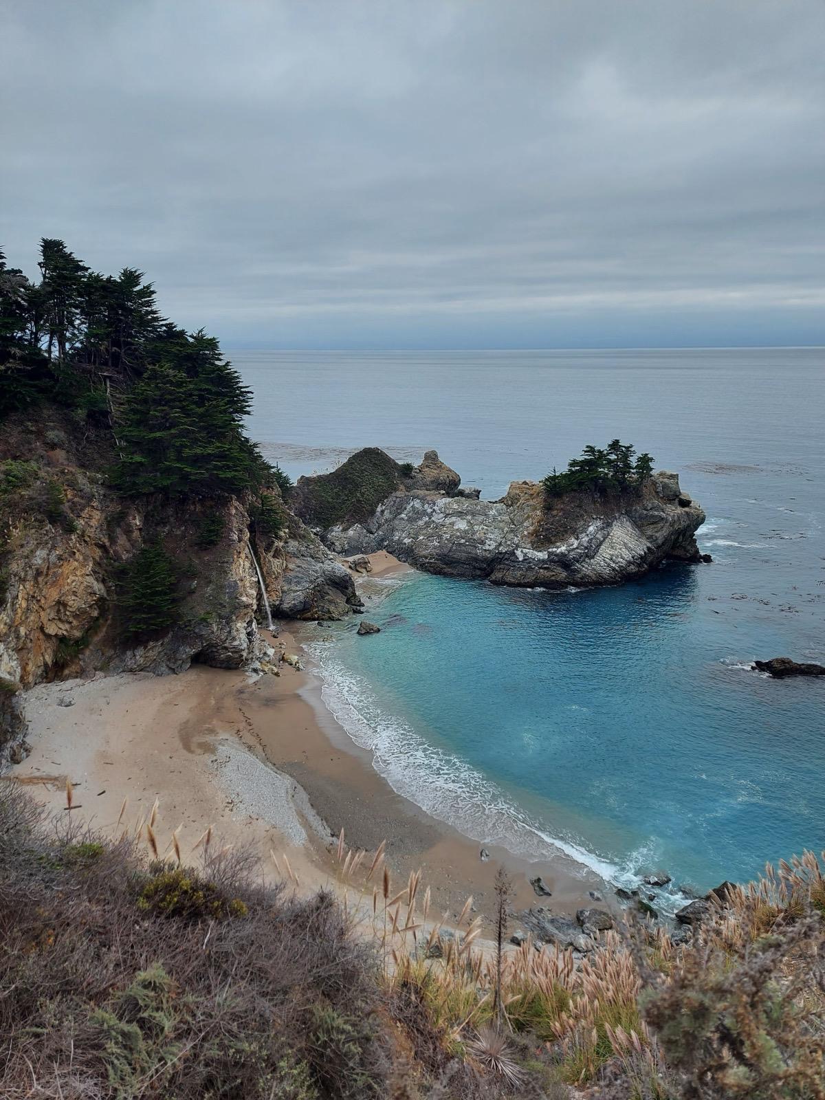
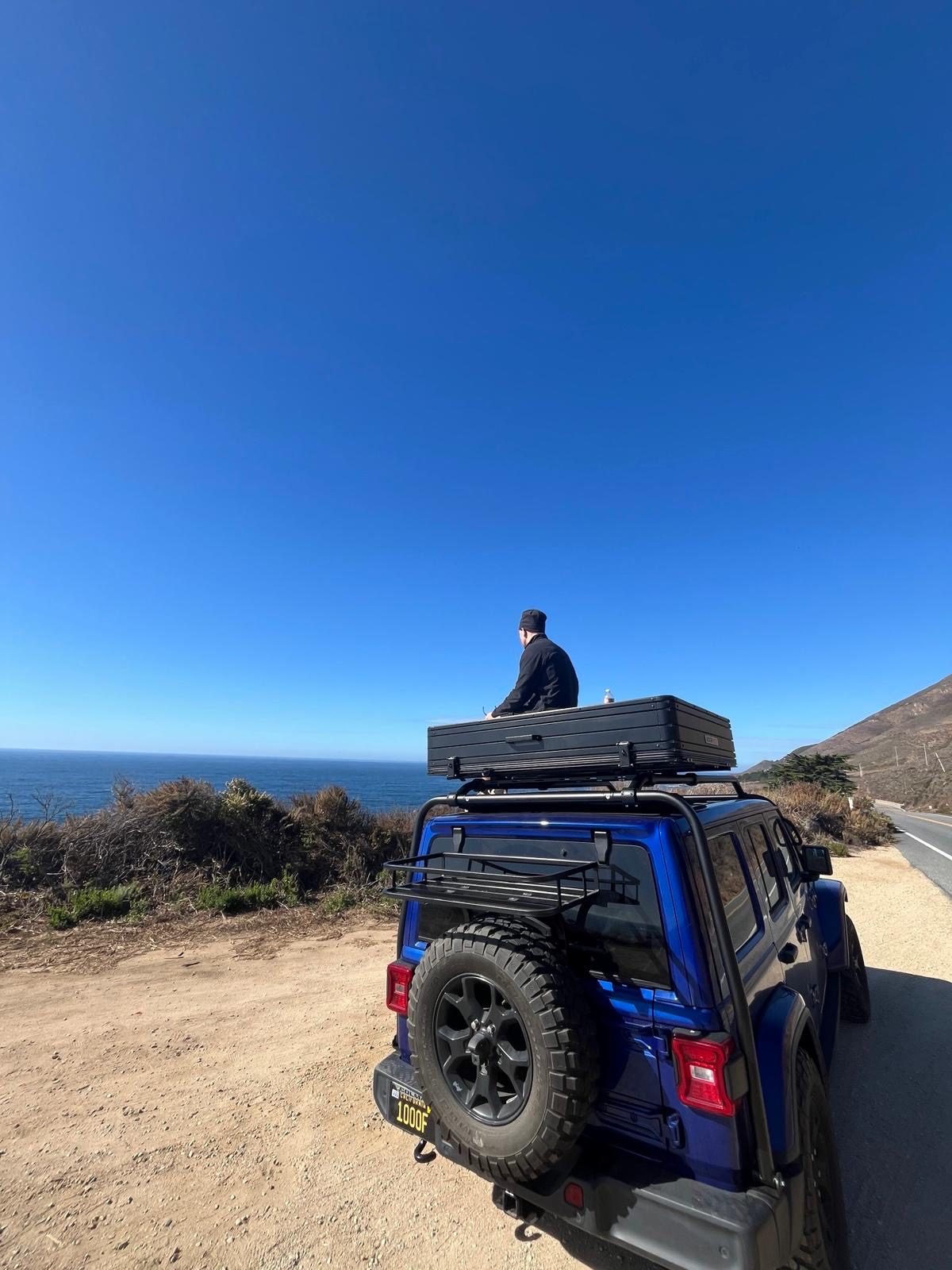
Big Sur begins approximately 50 miles south of Carmel. Bixby Creek Bridge at mile marker 60.3 north of Cambria is the most photographed structure on Highway 1: a concrete arch bridge from 1932 spanning a creek gorge 79 metres above the Pacific. Pull over before the bridge for the full view. McWay Falls in Julia Pfeiffer Burns State Park drops 24 metres directly onto an otherwise inaccessible beach cove; park at the Overlook Trail trailhead and walk 0.8 km to the viewpoint. Point Sur Lighthouse (guided tours, book ahead) sits on a 90-metre volcanic rock connected to the mainland by a sand bar.

Drive into Carmel by evening. Carmel-by-the-Sea is a small, expensive and very beautiful village at the foot of the Carmel Valley with a white-sand beach and an extraordinary concentration of galleries and restaurants for a town of 3,000 people.

Day 15: Carmel to San Francisco

Carmel Beach in the morning: white sand at the foot of Ocean Avenue, flanked by Monterey cypress trees, cold water, sea otters visible in the kelp beds offshore. Walk south along the beach to Carmel River State Beach for the wider stretch.

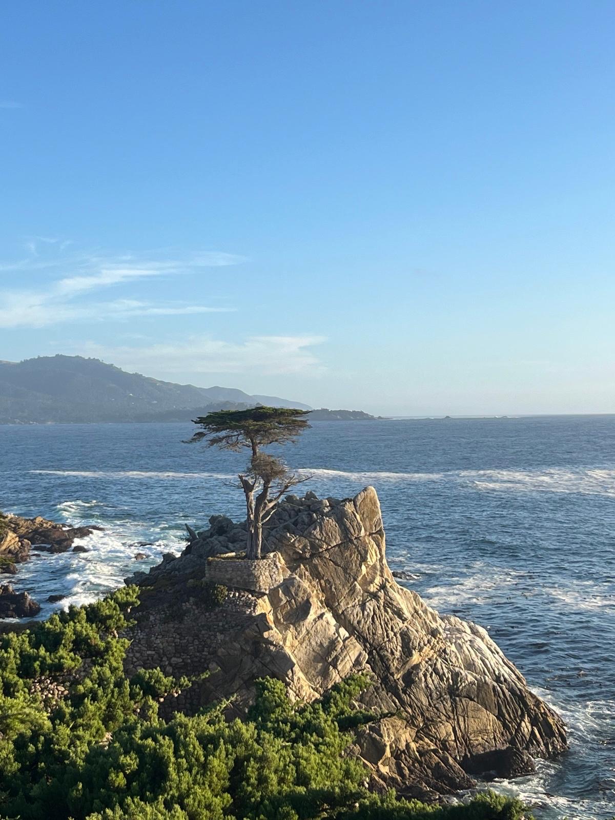
Monterey, 5 miles north: the Monterey Bay Aquarium on Cannery Row (book tickets online, busy at weekends) is one of the finest aquariums in the world, anchored by an open-ocean tank and a kelp forest exhibit, worth three to four hours. The 17-Mile Drive through Pebble Beach (toll road, around $12 per vehicle) passes the Lone Cypress and several Golf courses, worth taking as a scenic loop if time allows.

Santa Cruz is 45 miles north: the Santa Cruz Boardwalk (the oldest operating amusement park on the West Coast, open seasonally) and the wide beach give the trip a completely different energy from the Carmel restraint you have just left.

San Francisco is 75 miles north on Highway 17 and I-280 or coastal Highway 1. Arrive in the afternoon. The Golden Gate Bridge is on the northern approach from Marin if you are coming from the north (consider the day's loop this way: Monterey, Santa Cruz, then Highway 1 north to SF for the Golden Gate approach). Park in the Marina district or Union Square and walk. The city works best without a car; Uber and Muni are the right options for the evenings.

Day 16: San Francisco to Sequoia National Park

San Francisco to Sequoia's Giant Forest is approximately 280 miles southeast on I-580, I-5 and CA-99, then CA-198 east into the park. Allow five to six hours. The Central Valley section of I-5 and CA-99 is flat, agricultural and unremarkable but fast.

Sequoia National Park: No timed entry system operates at Sequoia in 2026; arrive and pay at the entrance station ($35 per vehicle, valid 7 days). The Giant Forest Museum near the Lodgepole area is the starting point. The Congress Trail is a 3.2 km loop through the densest concentration of giant sequoias in the world, including the General Sherman Tree: the largest tree by volume on Earth at 1,385 cubic metres, 84 metres tall and approximately 2,200 years old. The scale is genuinely difficult to calibrate. Walk around the base several times and consider that the lowest branches begin 40 metres above your head.

The drive on the Generals Highway from the Giant Forest to the Grant Grove area (approximately 35 miles) passes through continuous sequoia groves with multiple pullouts.

Overnight near the park entrance in Three Rivers or inside the park at the Wuksachi Lodge (the main park accommodation; book months ahead for summer).

Day 17: Sequoia to Yosemite National Park

The drive from Sequoia to Yosemite Valley is approximately 4 hours on CA-99 North and CA-41 into the park. Yosemite requires an advance timed entry reservation during peak season (April to October). As of 2026, the timed entry system has been maintained for this period. Book through recreation.gov before your trip; slots go quickly in summer, and arriving without a reservation can mean being turned away at the entrance. Check the current system status at nps.gov/yose before finalising plans.

Park entry: $35 per vehicle, valid 7 days.

Yosemite Valley is 7 miles long and roughly 1.6 km wide, carved by glaciers into vertical granite walls. Half Dome rises 1,444 metres above the valley floor at the eastern end. El Capitan, the largest exposed granite monolith in the world, is visible from the Valley View pullout 2 miles inside the western entrance. Look for climbers on the face with binoculars; it is possible to spot them on the vertical granite above.

Yosemite Valley Floor Loop: the best introduction to the valley is the 11-mile loop that circles the valley floor. By car it takes 45 minutes; by bicycle (rentable at Yosemite Valley Lodge and Half Dome Village) it takes two hours and is the better option for stopping at viewpoints without traffic.

Yosemite Falls Trail (11 km round trip, 646 metres elevation gain, four to six hours) reaches the top of North America's tallest waterfall. The lower falls viewpoint (2.4 km return, easy) gives the best frontal view.

Glacier Point Road at the end of the day if the road is open (typically late spring to early autumn): the viewpoint at 2,200 metres looks directly east to Half Dome, north to Yosemite Falls and down into the full length of the valley. It is the single best photographic position in Yosemite.

Overnight inside the park at one of the campgrounds or lodges (all require advance booking, months ahead in summer) or in Mariposa 45 minutes west.

Day 18: Yosemite to San Francisco

Morning walk before the valley fills: Mirror Lake trail (8 km round trip from the valley floor, flat, through reflective granite-fringed lake toward Half Dome's base) or the short walk to Valley View for the El Capitan framing at dawn. Leave Yosemite by 11 am.

The drive back to San Francisco on CA-120 West and I-580 takes approximately three hours; the Altamont Pass section through the wind turbine corridor of the Diablo Range is one of the stranger stretches of California driving. Arrive in San Francisco in early afternoon.

The city's walkable north end covers the afternoon: Chinatown on Grant Avenue (the oldest in North America), North Beach (the Italian neighbourhood where the Beat Generation was based; City Lights bookshop on Columbus Avenue is the landmark), the waterfront at Fisherman's Wharf and the walk across the Fort Mason headland for the Golden Gate Bridge view from the eastern anchorage. Coit Tower in North Beach has lift access to a viewpoint above the city. The Ferry Building on the Embarcadero is the food market for a final bite.

In pictures

No items found.

Traveller suggestions

Accomodation

New Orleans

Mid-tier : The Columns Hotel (antebellum mansion, Victorian bar, most atmospheric mid-range stay in the city), Hotel Saint Vincent (boutique in a converted orphanage, pool)

Budget : HI New Orleans Hostel (directly across from the French Quarter, key card lockers), India House Hostel (pool, very social, canal streetcar to the Quarter), Auberge Nouvelle Orleans (close to Frenchmen Street)

Stay in the French Quarter or Garden District for proximity to the music and restaurants. The French Quarter itself is loud at night; know which camp you are in before booking.

Austin

Mid-tier : Hotel Saint Cecilia (rock and roll boutique, pool), Hotel San José (mid-century aesthetic, pool, strong café), Arrive Austin (rooftop pool, closest to the East Austin restaurant scene)

Budget : Austin's hostel scene is thin. Airbnb on the East Side typically gives better value than hotel alternatives.

Amarillo

Courtyard by Marriott or similar chain on the I-40 corridor. Transit night motel ; do not overthink it.

Boulder

Mid-tier : Hotel Boulderado (historic 1909 hotel, most atmospheric option), Bradley Boulder Inn (bed and breakfast, breakfast included)

Budget : The Boulder Hostel (near the university, clean and social). Airbnb is often better value for more than one night.

Ridgway and Ouray

Mid-tier : Beaumont Hotel (1887 building, most atmospheric option in Ouray), Chipeta Solar Springs Resort (Ridgway, spa)

Budget : HI Ouray Hostel (book ahead, Ouray fills up)

Moab

Mid-tier : Hoodoo Moab (pool, most comfortable mid-range option), Moab Valley Inn (pool, reliable)

Budget : Lazy Lizard Hostel (best-reviewed budget option, pool, social), Cali Cochitta Bed and Breakfast (good breakfast before park days)

National park campgrounds at Arches (Devils Garden) and Canyonlands book through recreation.gov and are the best way to wake up inside the parks.

Grand Canyon South Rim

Mid-tier : El Tovar Hotel (on the rim, built 1905, most atmospheric option), Bright Angel Lodge (also on the rim, more affordable)

Budget : Mather Campground (inside the park, book through recreation.gov); Tusayan motels outside the park entrance are cheaper but require driving in each day.

Las Vegas

Mid-tier : The Venetian (suites standard, one of the better mid-Strip options), Park MGM (calmer than most, good food options)

Budget : Excalibur (cheap by Strip standards, pool); Airbnb in the Arts District for a quieter experience off the casino corridor

Never pay the Strip rack rate. Hotel websites, booking apps and loyalty schemes (MGM Rewards, Total Rewards) regularly offer 30 to 50% off walk-in prices.

Death Valley

The Inn at Death Valley (1930s oasis resort, pool fed by a natural spring, expensive)

The Ranch at Death Valley (cabins and motel rooms, pool, far cheaper)

Sequoia and Yosemite

Wuksachi Lodge (Sequoia, main park lodge near Giant Forest)

Yosemite Valley Lodge or Half Dome Village. If the park lodges are gone, Mariposa (45 minutes west of Yosemite) is the practical fallback.

San Francisco

Mid-tier : Hotel Drisco (one of the best boutique hotels in the city), The Marker (well-located, boutique), Inn at the Opera (Hayes Valley, small and characterful)

Budget : HI San Francisco Fisherman's Wharf (inside a National Park Service building in Fort Mason, bay views), Green Tortoise Hostel (North Beach, legendary on the backpacker circuit, social)

Stay in North Beach, Hayes Valley or the Mission for the city rather than the tourist circuit.

Food & Drink

New Orleans

Premium : Arnaud's (Creole institution open since 1918, shrimp Arnaud in rémoulade and oysters Bienville are the orders, the adjacent French 75 Bar is one of the best cocktail bars in America), Dooky Chase's (Tremé, African American art-lined dining room, Creole cooking with deep civil rights history)

Mid-tier : Stanley (good bloody marys and eggs Benedict po'boy at breakfast), Cochon (warehouse district, Cajun pork-focused cooking from chef Donald Link,), Cane and Table (rum cocktails and proto-Caribbean cooking)

Budget : Café du Monde, Central Grocery, po'boy shops on Decatur Street

Frenchmen Street is the right place for a late-evening drink rather than a restaurant. The Spotted Cat Music Club and d.b.a. both have live music without cover charges; the expectation is to buy a drink per set and tip the musicians.

Austin

Mid-tier : Launderette (East Austin), Uchi, Comedor (Mexican-inspired)

Budget : Franklin Barbecue (brisket, ribs and sausage cooked over post oak for 18 hours, queue starts before 8 am and the restaurant sells out by early afternoon), La Barbecue, Torchy's Tacos, Home Slice Pizza

Breakfast tacos are the defining Austin breakfast: corn or flour tortillas filled with egg, cheese, beans and your choice of protein from any of the dozens of taco trucks open from 6 am. Jo's Coffee on South Congress serves them with the city's best flat white.

Boulder

Mid-tier : Corrida (Spanish small plates and Front Range mountain views), Frasca Food and Wine (Italian fine dining), Arcana ( creative American)

Budget : Mountain Sun Pub and Brewery (25 house-made rotating beers, solid pub food, laid-back Colorado atmosphere), Illegal Pete's (Burritos, cheap)

Moab

Mid-tier : Desert Bistro (best sit-down restaurant in Moab) Twisted Sistas Café (local favourite for breakfast and lunch)

Budget : Moab Diner (classic American diner option), Eddie McStiff's (brewery and pub)

Las Vegas

Premium : Esther's Kitchen (Italian American), Lotus of Siam (finest Thai restaurant)

Mid-tier : Eggslut (egg sandwiches), Momofuku (David Chang's noodle bar)

Budget : In-N-Out Burger (, the California fast food benchmark)

Death Valley

The Oasis at Death Valley in Furnace Creek has the only real restaurant in the valley: Inn Dining Room (seasonal, not cheap, the only table-service option within an hour), Ranch at Death Valley 1849 Restaurant (burgers and sandwiches).

San Francisco

Premium : Bix (supper club atmosphere, jazz and cocktails), Tartine Manufactory

Mid-tier : Hog Island Oyster Co. (local oysters with bay views), Zuni Café, Mission Chinese Food

Budget : La Taqueria (best burrito in San Francisco), Bi-Rite Creamery (salted caramel and ricanelas flavours), Boudin Bakery (sourdough bread baked continuously since 1849)

Carmel and Monterey

Mid-tier : Vesuvio (Carmel; Italian), Mundaka (Carmel, Spanish tapas), Passionfish (Monterey, seafood)

Budget : Cibo (Monterey; Italian), the Fisherman's Wharf seafood stalls in Monterey for clam chowder in a sourdough bread bowl

Reminders & Cautions

Rental car: A single rental car covers the entire 18-day route. Collect at Atlanta Hartsfield-Jackson and return at San Francisco International (SFO) or Oakland (OAK). One-way rentals between states incur a drop fee which can be significant; factor this in when comparing quotes. Book at least three to four weeks ahead. A standard mid-size car handles everything on this route; a 4x4 is not necessary unless you plan to drive unpaved tracks in Death Valley or beyond the main roads in the national parks. Credit card rental insurance coverage is worth understanding before you go; many UK and EU cards provide this, potentially saving the rental company's collision damage waiver fee.

Driving rules: Americans drive on the right. Speed limits vary by state and are lower than they appear on open highways: typically 70 to 75 mph (113 to 121 km/h) on interstate highways, 65 mph on state highways, 25 to 35 mph in towns and national parks. Radar enforcement is consistent and fines are immediate. National parks enforce speed limits particularly firmly. At intersections, right turns on red are legal in most states after stopping and checking for traffic, unless a sign specifically prohibits it. At four-way stop intersections, the first car to arrive goes first; if two cars arrive simultaneously, the car on the right goes first.

Fuel: Petrol (gas) is significantly cheaper than in the UK or Europe. Prices vary by state; California is consistently the most expensive, often by 30 to 50 cents per gallon above the national average. In remote sections (Death Valley, the Moab to Grand Canyon leg, the drive from Amarillo into New Mexico), fill up at every opportunity and never let the tank drop below a quarter. The Furnace Creek station in Death Valley is the only fuel source within the park; confirm it is open before relying on it.

The America the Beautiful Pass: If visiting three or more national parks (this itinerary visits Arches, Canyonlands, Grand Canyon, Death Valley, Joshua Tree, Sequoia and Yosemite), the America the Beautiful Annual Pass at $80 covers entry to all federal lands for 12 months and saves approximately $165 over paying per park. Buy it at recreation.gov or at the first park entrance you reach. Present the physical card at every subsequent entrance.

National park booking: Yosemite requires a timed entry reservation during peak season (April to October). Book through recreation.gov as soon as your travel dates are confirmed; slots go weeks in advance. Arches lifted its timed entry requirement for 2026; arrive early and check current status at nps.gov/arch. Grand Canyon, Sequoia, Death Valley and Joshua Tree have no timed entry systems currently. Campground reservations at all national parks book through recreation.gov and are in very high demand for spring and autumn dates; book six months ahead.

Money: The US Dollar (USD). Cards are accepted almost everywhere including petrol stations, national park entrance stations and most food trucks. Contactless payment is near-universal in cities. Carry cash for tips (essential: 18 to 20% at restaurants and bars, $1 to $2 per drink at bars, $2 to $5 per night for hotel housekeeping), parking machines and any market or roadside stalls. Tipping is not optional in the United States; it is the primary income for service industry workers in most states and skipping it is considered genuinely rude.

Phone and connectivity: Buy a US SIM at the airport on arrival (T-Mobile and AT&T both have airport kiosks). T-Mobile has the best coverage on the route overall. Verizon is stronger in some remote Western areas. Signal drops in national parks, particularly in the canyon sections of Arches, Canyonlands and the Grand Canyon. Download offline maps for the desert and mountain legs before losing signal.

Season: This route works best in spring (March to May) or autumn (September to October). Summer (June to August) is viable for the music cities (New Orleans, Austin) and the Pacific Coast, but Death Valley becomes genuinely dangerous (daytime highs above 50°C) and the national parks are at peak crowding. Winter (November to February) brings cold temperatures to the mountains and Panhandle, potential snow closures on the Colorado mountain passes and the Crown Range equivalents, and a quieter but less dramatic landscape. Spring wildflowers in Death Valley (good years only, not guaranteed) and the autumn colours on the Colorado mountain roads are both worth timing around if possible.

Highway 1 Big Sur: Fully reopened January 2026 after the Regent's Slide closure that ran from early 2024. Always check the Caltrans QuickMap (quickmap.dot.ca.gov) before driving this section; closures after storms can happen without much notice.

Las Vegas and Death Valley in sequence: The Day 11 to Day 12 sequence from Las Vegas into Death Valley is one of the more logistically demanding stretches. Leave Las Vegas early (before 8 am) to reach the valley before the worst heat, particularly in summer. The drive from the Strip to Furnace Creek takes approximately two hours. Do not underestimate the heat; 30 minutes without water or car air conditioning in summer Death Valley can cause serious dehydration. Carry at least four litres of water per person in the vehicle at all times.

Safety in cities: New Orleans, Austin and San Francisco all have areas that are rougher after dark; standard big-city precautions apply. Bourbon Street after midnight is lively but not particularly dangerous; the French Quarter in general is heavily trafficked and reasonably safe. In San Francisco the Tenderloin neighbourhood (immediately south and west of Union Square) has a visible homelessness and drug use presence; navigate around it rather than through it at night. Use Uber or Lyft rather than hailing street cabs in cities; it is cheaper, safer and removes negotiation.

image of vibrant dining space (for a mexican restaurant)

Southwest Deserts and Canyons

Long drives through Oklahoma, New Mexico, and Colorado open into the cinematic landscapes of Utah. Red rock walls, sweeping viewpoints, and national parks like Arches and Canyonlands create some of the most iconic scenery in the country.

image of a guided tour group

The South: New Orleans & Austin

From jazz clubs and neon drenched Bourbon Street to Austin’s barbecue pits, dive bars, and live music on Sixth Street, this early stretch is built around rhythm and energy.
image of a local tour guide (for a travel agency)

California Sierra Nevada Parks

Back-to-back parks: Sequoia for the oldest and largest trees on Earth, Yosemite for the granite valley, the waterfalls and the views from Glacier Point that stop most people in their tracks.

Reminders from Collective travellers

Rental car: A single rental car covers the entire 18-day route. Collect at Atlanta Hartsfield-Jackson and return at San Francisco International (SFO) or Oakland (OAK). One-way rentals between states incur a drop fee which can be significant; factor this in when comparing quotes. Book at least three to four weeks ahead. A standard mid-size car handles everything on this route; a 4x4 is not necessary unless you plan to drive unpaved tracks in Death Valley or beyond the main roads in the national parks. Credit card rental insurance coverage is worth understanding before you go; many UK and EU cards provide this, potentially saving the rental company's collision damage waiver fee.

Driving rules: Americans drive on the right. Speed limits vary by state and are lower than they appear on open highways: typically 70 to 75 mph (113 to 121 km/h) on interstate highways, 65 mph on state highways, 25 to 35 mph in towns and national parks. Radar enforcement is consistent and fines are immediate. National parks enforce speed limits particularly firmly. At intersections, right turns on red are legal in most states after stopping and checking for traffic, unless a sign specifically prohibits it. At four-way stop intersections, the first car to arrive goes first; if two cars arrive simultaneously, the car on the right goes first.

Fuel: Petrol (gas) is significantly cheaper than in the UK or Europe. Prices vary by state; California is consistently the most expensive, often by 30 to 50 cents per gallon above the national average. In remote sections (Death Valley, the Moab to Grand Canyon leg, the drive from Amarillo into New Mexico), fill up at every opportunity and never let the tank drop below a quarter. The Furnace Creek station in Death Valley is the only fuel source within the park; confirm it is open before relying on it.

The America the Beautiful Pass: If visiting three or more national parks (this itinerary visits Arches, Canyonlands, Grand Canyon, Death Valley, Joshua Tree, Sequoia and Yosemite), the America the Beautiful Annual Pass at $80 covers entry to all federal lands for 12 months and saves approximately $165 over paying per park. Buy it at recreation.gov or at the first park entrance you reach. Present the physical card at every subsequent entrance.

National park booking: Yosemite requires a timed entry reservation during peak season (April to October). Book through recreation.gov as soon as your travel dates are confirmed; slots go weeks in advance. Arches lifted its timed entry requirement for 2026; arrive early and check current status at nps.gov/arch. Grand Canyon, Sequoia, Death Valley and Joshua Tree have no timed entry systems currently. Campground reservations at all national parks book through recreation.gov and are in very high demand for spring and autumn dates; book six months ahead.

Money: The US Dollar (USD). Cards are accepted almost everywhere including petrol stations, national park entrance stations and most food trucks. Contactless payment is near-universal in cities. Carry cash for tips (essential: 18 to 20% at restaurants and bars, $1 to $2 per drink at bars, $2 to $5 per night for hotel housekeeping), parking machines and any market or roadside stalls. Tipping is not optional in the United States; it is the primary income for service industry workers in most states and skipping it is considered genuinely rude.

Phone and connectivity: Buy a US SIM at the airport on arrival (T-Mobile and AT&T both have airport kiosks). T-Mobile has the best coverage on the route overall. Verizon is stronger in some remote Western areas. Signal drops in national parks, particularly in the canyon sections of Arches, Canyonlands and the Grand Canyon. Download offline maps for the desert and mountain legs before losing signal.

Season: This route works best in spring (March to May) or autumn (September to October). Summer (June to August) is viable for the music cities (New Orleans, Austin) and the Pacific Coast, but Death Valley becomes genuinely dangerous (daytime highs above 50°C) and the national parks are at peak crowding. Winter (November to February) brings cold temperatures to the mountains and Panhandle, potential snow closures on the Colorado mountain passes and the Crown Range equivalents, and a quieter but less dramatic landscape. Spring wildflowers in Death Valley (good years only, not guaranteed) and the autumn colours on the Colorado mountain roads are both worth timing around if possible.

Highway 1 Big Sur: Fully reopened January 2026 after the Regent's Slide closure that ran from early 2024. Always check the Caltrans QuickMap (quickmap.dot.ca.gov) before driving this section; closures after storms can happen without much notice.

Las Vegas and Death Valley in sequence: The Day 11 to Day 12 sequence from Las Vegas into Death Valley is one of the more logistically demanding stretches. Leave Las Vegas early (before 8 am) to reach the valley before the worst heat, particularly in summer. The drive from the Strip to Furnace Creek takes approximately two hours. Do not underestimate the heat; 30 minutes without water or car air conditioning in summer Death Valley can cause serious dehydration. Carry at least four litres of water per person in the vehicle at all times.

Safety in cities: New Orleans, Austin and San Francisco all have areas that are rougher after dark; standard big-city precautions apply. Bourbon Street after midnight is lively but not particularly dangerous; the French Quarter in general is heavily trafficked and reasonably safe. In San Francisco the Tenderloin neighbourhood (immediately south and west of Union Square) has a visible homelessness and drug use presence; navigate around it rather than through it at night. Use Uber or Lyft rather than hailing street cabs in cities; it is cheaper, safer and removes negotiation.

Reminders from Collective travellers

Rental car: A single rental car covers the entire 18-day route. Collect at Atlanta Hartsfield-Jackson and return at San Francisco International (SFO) or Oakland (OAK). One-way rentals between states incur a drop fee which can be significant; factor this in when comparing quotes. Book at least three to four weeks ahead. A standard mid-size car handles everything on this route; a 4x4 is not necessary unless you plan to drive unpaved tracks in Death Valley or beyond the main roads in the national parks. Credit card rental insurance coverage is worth understanding before you go; many UK and EU cards provide this, potentially saving the rental company's collision damage waiver fee.

Driving rules: Americans drive on the right. Speed limits vary by state and are lower than they appear on open highways: typically 70 to 75 mph (113 to 121 km/h) on interstate highways, 65 mph on state highways, 25 to 35 mph in towns and national parks. Radar enforcement is consistent and fines are immediate. National parks enforce speed limits particularly firmly. At intersections, right turns on red are legal in most states after stopping and checking for traffic, unless a sign specifically prohibits it. At four-way stop intersections, the first car to arrive goes first; if two cars arrive simultaneously, the car on the right goes first.

Fuel: Petrol (gas) is significantly cheaper than in the UK or Europe. Prices vary by state; California is consistently the most expensive, often by 30 to 50 cents per gallon above the national average. In remote sections (Death Valley, the Moab to Grand Canyon leg, the drive from Amarillo into New Mexico), fill up at every opportunity and never let the tank drop below a quarter. The Furnace Creek station in Death Valley is the only fuel source within the park; confirm it is open before relying on it.

The America the Beautiful Pass: If visiting three or more national parks (this itinerary visits Arches, Canyonlands, Grand Canyon, Death Valley, Joshua Tree, Sequoia and Yosemite), the America the Beautiful Annual Pass at $80 covers entry to all federal lands for 12 months and saves approximately $165 over paying per park. Buy it at recreation.gov or at the first park entrance you reach. Present the physical card at every subsequent entrance.

National park booking: Yosemite requires a timed entry reservation during peak season (April to October). Book through recreation.gov as soon as your travel dates are confirmed; slots go weeks in advance. Arches lifted its timed entry requirement for 2026; arrive early and check current status at nps.gov/arch. Grand Canyon, Sequoia, Death Valley and Joshua Tree have no timed entry systems currently. Campground reservations at all national parks book through recreation.gov and are in very high demand for spring and autumn dates; book six months ahead.

Money: The US Dollar (USD). Cards are accepted almost everywhere including petrol stations, national park entrance stations and most food trucks. Contactless payment is near-universal in cities. Carry cash for tips (essential: 18 to 20% at restaurants and bars, $1 to $2 per drink at bars, $2 to $5 per night for hotel housekeeping), parking machines and any market or roadside stalls. Tipping is not optional in the United States; it is the primary income for service industry workers in most states and skipping it is considered genuinely rude.

Phone and connectivity: Buy a US SIM at the airport on arrival (T-Mobile and AT&T both have airport kiosks). T-Mobile has the best coverage on the route overall. Verizon is stronger in some remote Western areas. Signal drops in national parks, particularly in the canyon sections of Arches, Canyonlands and the Grand Canyon. Download offline maps for the desert and mountain legs before losing signal.

Season: This route works best in spring (March to May) or autumn (September to October). Summer (June to August) is viable for the music cities (New Orleans, Austin) and the Pacific Coast, but Death Valley becomes genuinely dangerous (daytime highs above 50°C) and the national parks are at peak crowding. Winter (November to February) brings cold temperatures to the mountains and Panhandle, potential snow closures on the Colorado mountain passes and the Crown Range equivalents, and a quieter but less dramatic landscape. Spring wildflowers in Death Valley (good years only, not guaranteed) and the autumn colours on the Colorado mountain roads are both worth timing around if possible.

Highway 1 Big Sur: Fully reopened January 2026 after the Regent's Slide closure that ran from early 2024. Always check the Caltrans QuickMap (quickmap.dot.ca.gov) before driving this section; closures after storms can happen without much notice.

Las Vegas and Death Valley in sequence: The Day 11 to Day 12 sequence from Las Vegas into Death Valley is one of the more logistically demanding stretches. Leave Las Vegas early (before 8 am) to reach the valley before the worst heat, particularly in summer. The drive from the Strip to Furnace Creek takes approximately two hours. Do not underestimate the heat; 30 minutes without water or car air conditioning in summer Death Valley can cause serious dehydration. Carry at least four litres of water per person in the vehicle at all times.

Safety in cities: New Orleans, Austin and San Francisco all have areas that are rougher after dark; standard big-city precautions apply. Bourbon Street after midnight is lively but not particularly dangerous; the French Quarter in general is heavily trafficked and reasonably safe. In San Francisco the Tenderloin neighbourhood (immediately south and west of Union Square) has a visible homelessness and drug use presence; navigate around it rather than through it at night. Use Uber or Lyft rather than hailing street cabs in cities; it is cheaper, safer and removes negotiation.

Reminders from Collective travellers

Rental car: A single rental car covers the entire 18-day route. Collect at Atlanta Hartsfield-Jackson and return at San Francisco International (SFO) or Oakland (OAK). One-way rentals between states incur a drop fee which can be significant; factor this in when comparing quotes. Book at least three to four weeks ahead. A standard mid-size car handles everything on this route; a 4x4 is not necessary unless you plan to drive unpaved tracks in Death Valley or beyond the main roads in the national parks. Credit card rental insurance coverage is worth understanding before you go; many UK and EU cards provide this, potentially saving the rental company's collision damage waiver fee.

Driving rules: Americans drive on the right. Speed limits vary by state and are lower than they appear on open highways: typically 70 to 75 mph (113 to 121 km/h) on interstate highways, 65 mph on state highways, 25 to 35 mph in towns and national parks. Radar enforcement is consistent and fines are immediate. National parks enforce speed limits particularly firmly. At intersections, right turns on red are legal in most states after stopping and checking for traffic, unless a sign specifically prohibits it. At four-way stop intersections, the first car to arrive goes first; if two cars arrive simultaneously, the car on the right goes first.

Fuel: Petrol (gas) is significantly cheaper than in the UK or Europe. Prices vary by state; California is consistently the most expensive, often by 30 to 50 cents per gallon above the national average. In remote sections (Death Valley, the Moab to Grand Canyon leg, the drive from Amarillo into New Mexico), fill up at every opportunity and never let the tank drop below a quarter. The Furnace Creek station in Death Valley is the only fuel source within the park; confirm it is open before relying on it.

The America the Beautiful Pass: If visiting three or more national parks (this itinerary visits Arches, Canyonlands, Grand Canyon, Death Valley, Joshua Tree, Sequoia and Yosemite), the America the Beautiful Annual Pass at $80 covers entry to all federal lands for 12 months and saves approximately $165 over paying per park. Buy it at recreation.gov or at the first park entrance you reach. Present the physical card at every subsequent entrance.

National park booking: Yosemite requires a timed entry reservation during peak season (April to October). Book through recreation.gov as soon as your travel dates are confirmed; slots go weeks in advance. Arches lifted its timed entry requirement for 2026; arrive early and check current status at nps.gov/arch. Grand Canyon, Sequoia, Death Valley and Joshua Tree have no timed entry systems currently. Campground reservations at all national parks book through recreation.gov and are in very high demand for spring and autumn dates; book six months ahead.

Money: The US Dollar (USD). Cards are accepted almost everywhere including petrol stations, national park entrance stations and most food trucks. Contactless payment is near-universal in cities. Carry cash for tips (essential: 18 to 20% at restaurants and bars, $1 to $2 per drink at bars, $2 to $5 per night for hotel housekeeping), parking machines and any market or roadside stalls. Tipping is not optional in the United States; it is the primary income for service industry workers in most states and skipping it is considered genuinely rude.

Phone and connectivity: Buy a US SIM at the airport on arrival (T-Mobile and AT&T both have airport kiosks). T-Mobile has the best coverage on the route overall. Verizon is stronger in some remote Western areas. Signal drops in national parks, particularly in the canyon sections of Arches, Canyonlands and the Grand Canyon. Download offline maps for the desert and mountain legs before losing signal.

Season: This route works best in spring (March to May) or autumn (September to October). Summer (June to August) is viable for the music cities (New Orleans, Austin) and the Pacific Coast, but Death Valley becomes genuinely dangerous (daytime highs above 50°C) and the national parks are at peak crowding. Winter (November to February) brings cold temperatures to the mountains and Panhandle, potential snow closures on the Colorado mountain passes and the Crown Range equivalents, and a quieter but less dramatic landscape. Spring wildflowers in Death Valley (good years only, not guaranteed) and the autumn colours on the Colorado mountain roads are both worth timing around if possible.

Highway 1 Big Sur: Fully reopened January 2026 after the Regent's Slide closure that ran from early 2024. Always check the Caltrans QuickMap (quickmap.dot.ca.gov) before driving this section; closures after storms can happen without much notice.

Las Vegas and Death Valley in sequence: The Day 11 to Day 12 sequence from Las Vegas into Death Valley is one of the more logistically demanding stretches. Leave Las Vegas early (before 8 am) to reach the valley before the worst heat, particularly in summer. The drive from the Strip to Furnace Creek takes approximately two hours. Do not underestimate the heat; 30 minutes without water or car air conditioning in summer Death Valley can cause serious dehydration. Carry at least four litres of water per person in the vehicle at all times.

Safety in cities: New Orleans, Austin and San Francisco all have areas that are rougher after dark; standard big-city precautions apply. Bourbon Street after midnight is lively but not particularly dangerous; the French Quarter in general is heavily trafficked and reasonably safe. In San Francisco the Tenderloin neighbourhood (immediately south and west of Union Square) has a visible homelessness and drug use presence; navigate around it rather than through it at night. Use Uber or Lyft rather than hailing street cabs in cities; it is cheaper, safer and removes negotiation.

Journey adjustments

If you have less time, cut the Texas Panhandle anddrive directly from Austin to Santa Fe.

The Day 5 drive through Amarillo is a long, flattransit day that exists to convey a sense of scale rather than to deliver ahighlight. Cutting north from Austin toward Santa Fe on US-87 and I-25 saves aday, removes the least visually interesting section of the route, and addsSanta Fe as a stop: the oldest state capital in the United States, with adobearchitecture, a strong gallery and museum scene, and the best New Mexicancuisine in the world (green chile cheeseburgers, posole and sopapillas are thefoods to find). One night in Santa Fe adds cultural weight to the transitionfrom the Deep South to the West.

If you want to slow down, add asecond night in Moab.

The Day 9 itinerary is ambitious: Arches andCanyonlands in a single day covers a lot of ground quickly. Adding a secondnight allows a morning in the less-visited Needles District of Canyonlands (60miles south of Moab, a completely different geology and hiking character fromIsland in the Sky), a sunrise at Delicate Arch without rushing, or awhite-water rafting day on the Colorado River through Moab itself. Moab is thekind of base that rewards staying longer.

If you want a more adventurous version, add ZionNational Park between the Grand Canyon and Las Vegas.

Zion is 160 miles north of the Grand Canyon's NorthRim and 160 miles northeast of Las Vegas, making it a natural addition on theDay 10 to Day 11 leg. The Angels Landing trail (steep, chain-assisted scrambleto a summit above the Virgin River canyon) is one of the most dramatic dayhikes in the United States. Adding a night in Springdale (the gateway towndirectly outside the park entrance) gives you a full Zion day. The trade-off isa longer Day 11 drive or a reduced time at Hoover Dam and Las Vegas.

If you want a Pacific Coast extension, drive Highway 1all the way from LA to San Francisco rather than taking the inland route on Day 16.

Instead of driving inland to Sequoia after SanFrancisco, reverse the final section: do Highway 1 from LA to San Francisco inits entirety (Days 14 to 15 as planned), then fly home from San Francisco andreach Sequoia and Yosemite as a separate extension or future trip. This versionremoves the two national parks from the end of the route and replaces them witha more leisurely coastal drive, finishing in San Francisco with energy ratherthan arriving jet-lagged after two major parks. The trade-off is losing two ofthe most extraordinary landscapes in North America.

If you want to add New Mexico's desert and culture,route through Albuquerque and Taos.

After Amarillo on Day 5, drive southwest toAlbuquerque rather than northwest to Boulder. Albuquerque sits in the RioGrande valley at 1,620 metres with the Sandia Mountains behind it; the Old Townis a genuine 17th-century adobe plaza. From Albuquerque, drive north throughSanta Fe (see above) and Taos, a high-desert art colony at 2,100 metres with aPueblo continuously inhabited for over 1,000 years and one of the most completeand authentic indigenous cultural sites in the Southwest. This adds one or twodays and gives the transition to the mountain West a richer cultural dimension.

If you want to skip the Deep South and start fromAustin, fly into Austin-Bergstrom International directly.

The Atlanta to New Orleans drive is five to six hoursof highway before the trip has properly started. Flying directly into Austinremoves two long driving days (Atlanta to New Orleans, New Orleans to Austin)and starts you in a city with immediate energy. The trade-off is losing NewOrleans, which for many travellers is the strongest single city experience onthe whole route. If it is a choice between New Orleans and the national parks,keep New Orleans; there is nothing quite like it elsewhere in the United States.‍

Collective travellers' testimonials

Rufus - London, UK

I think what made the trip was the long drives through the desert, especially in Utah and around the Grand Canyon, listening to country music and playing car games

Bertie - London, UK

The funniest moment was definetely the frat party in Boulder, Colorado. A true American college experience!